Tuileries British Cemetery
- Country Belgium
- Total identified casualties 79 Find these casualties
- Region West-Vlaanderen
- Identified casualties from First World War
- GPS Coordinates Latitude: 50.83994, Longitude: 2.92042
Location information
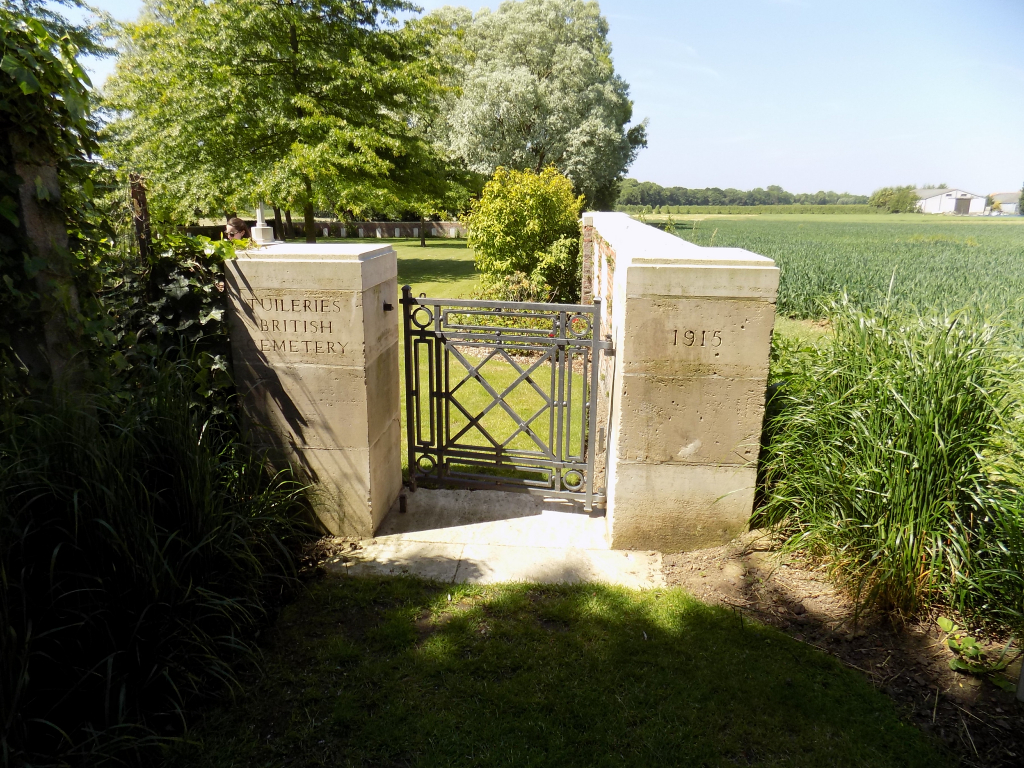
Tuileries British Cemetery is located 3 Kms east of Ieper town centre, on the Maaldestedestraat, a road leading from the Meenseweg (N8), connecting Ieper to Menen. From Ieper town centre the Meenseweg is located via Torhoutstraat and right onto Basculestraat. Basculestraat ends at a main cross roads, directly over which begins the Meenseweg. 1.5 Kms along the Meenseweg lies the right hand turning onto the Maaldestedestraat. The cemetery itself is located 1.2 Kms along the Maaldestedestraat on the right hand side of the road.
Visiting information
Wheelchair access to the cemetery is possible via the main entrance.
For further information regarding wheelchair access, please contact our Enquiries Section on telephone 01628 507200.
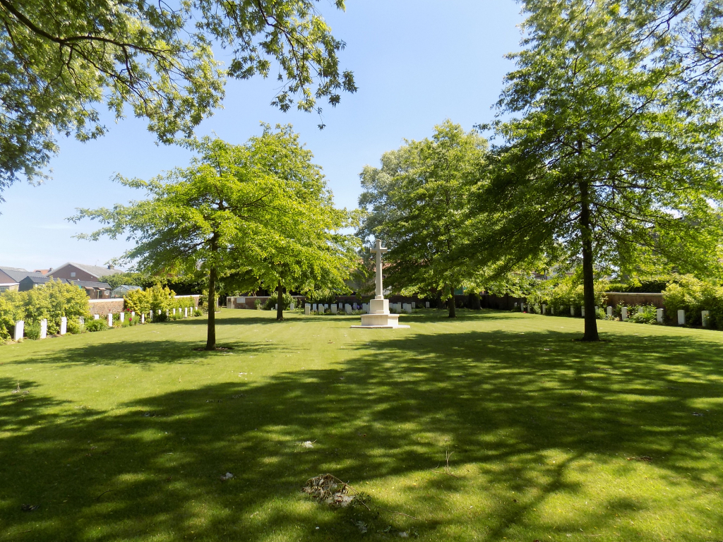
History information
The commune of Zillebeke contains many Commonwealth cemeteries as the front line trenches ran through it during the greater part of the First World War. The Tuileries, or tile-works, were a little north-west of Zillebeke village and in 1915, a number of Commonwealth and French soldiers were buried there. Later, many of the graves were destroyed when the cemetery was very badly shelled. The cemetery contains 95 Commonwealth burials and commemorations of the First World War. Only 26 graves (of which 16 are unidentified) are known and marked, and special memorials commemorate 69 Commonwealth and two French casualties whose graves in the cemetery were destroyed. The cemetery was designed by W C Von Berg.