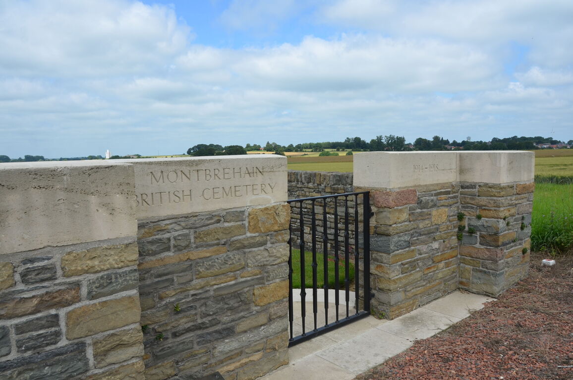
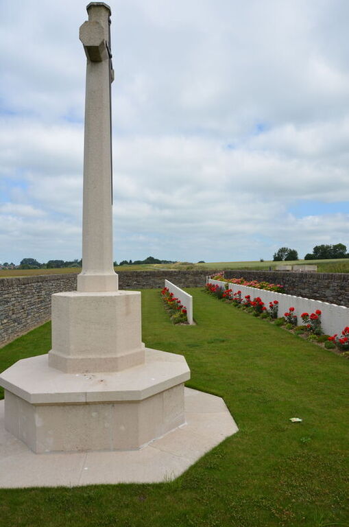
Montbrehain British Cemetery
- Country France
- Total identified casualties 80 Find these casualties
- Region Aisne
- Identified casualties from First World War
- GPS Coordinates Latitude: 49.95742, Longitude: 3.3555
Location information
Montbrehain is a village situated in the north-western sector of the Department of the Aisne, 10 kilometres south-west of Bohain on the D28. Montbrehain British Cemetery is 1 kilometre south of the village on the D283, which connects Montbrehain with Fontaine-Uterte, and the cemetery is signposted at the junction of the D28 and D283.
Download Cemetery Plan
History information
Montbrehain village was taken on the 3rd October, 1918, by three battalions of the Sherwood Foresters of the 46th Division, but it could not be held at the time; it was finally captured by the 21st and 24th Australian Infantry Battalions two days later.
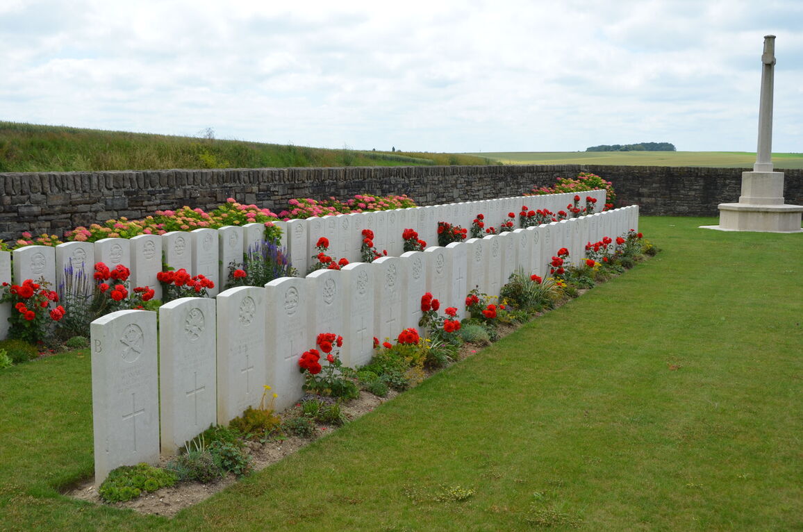
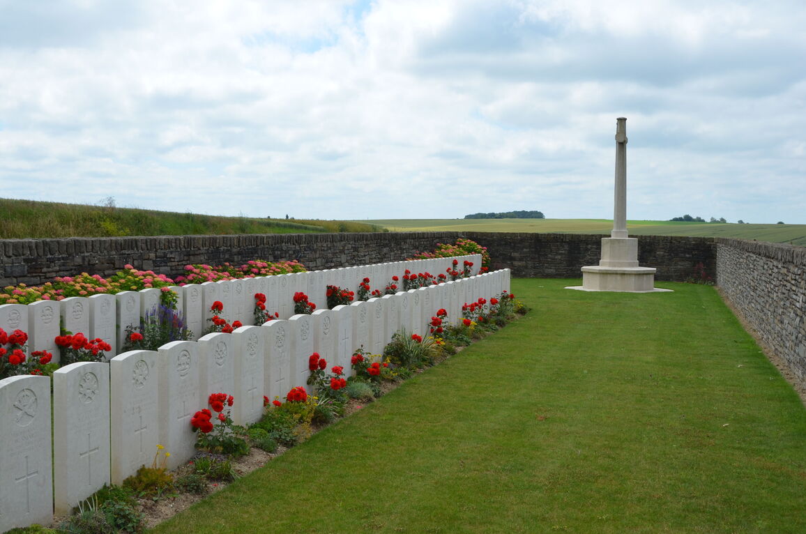
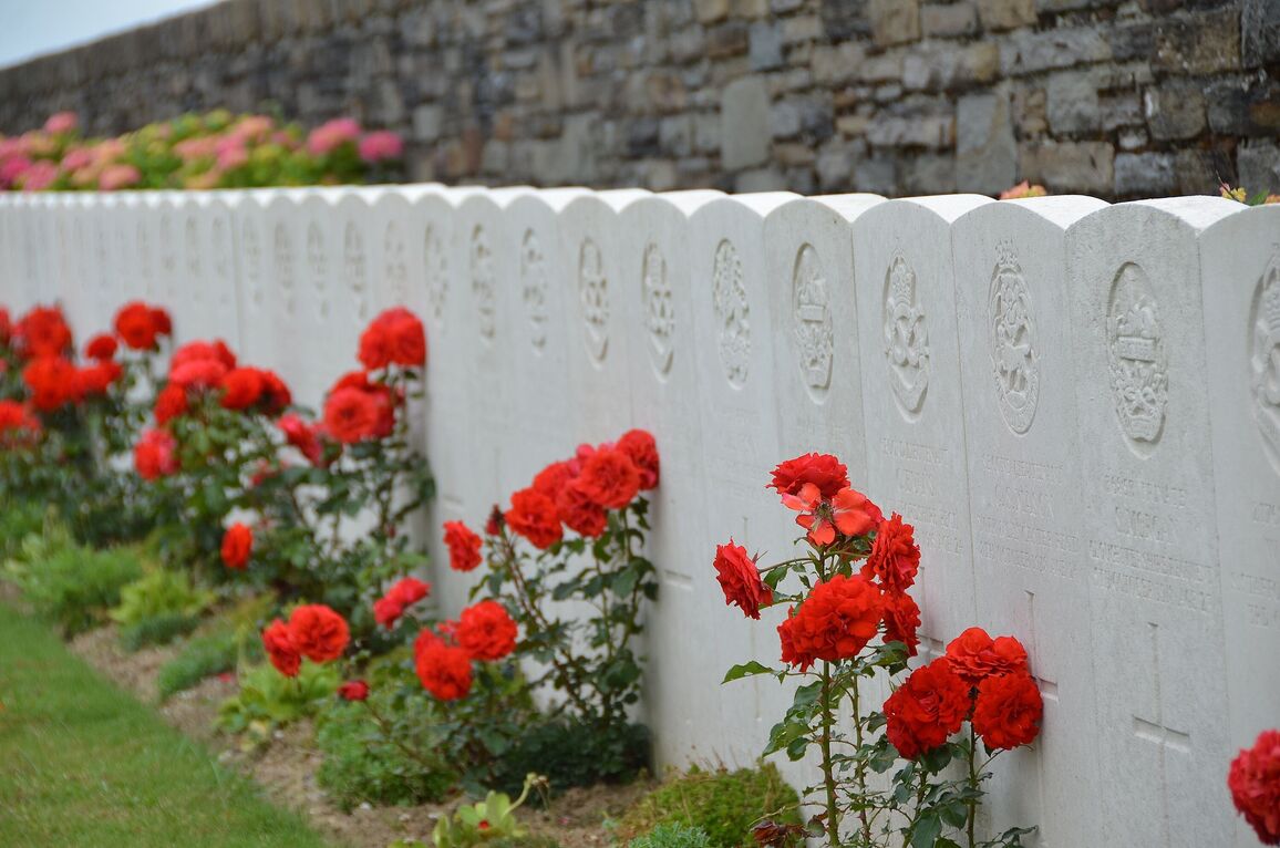
This cemetery contains the graves of 89 casualties of the First World War, nine of which are unidentified.
The cemetery was designed by W H Cowlishaw.