Berles New Military Cemetery
- Country France
- Total identified casualties 166 Find these casualties
- Region Pas de Calais
- Identified casualties from First World War
- GPS Coordinates Latitude: 50.20119, Longitude: 2.62447
Location information
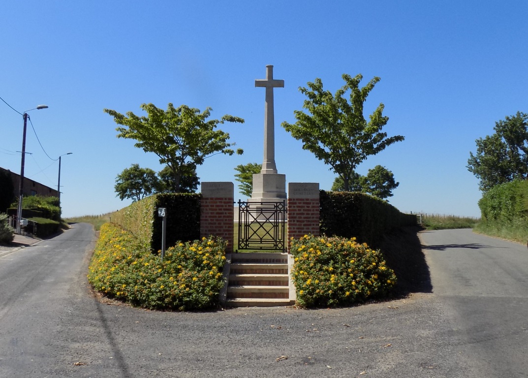
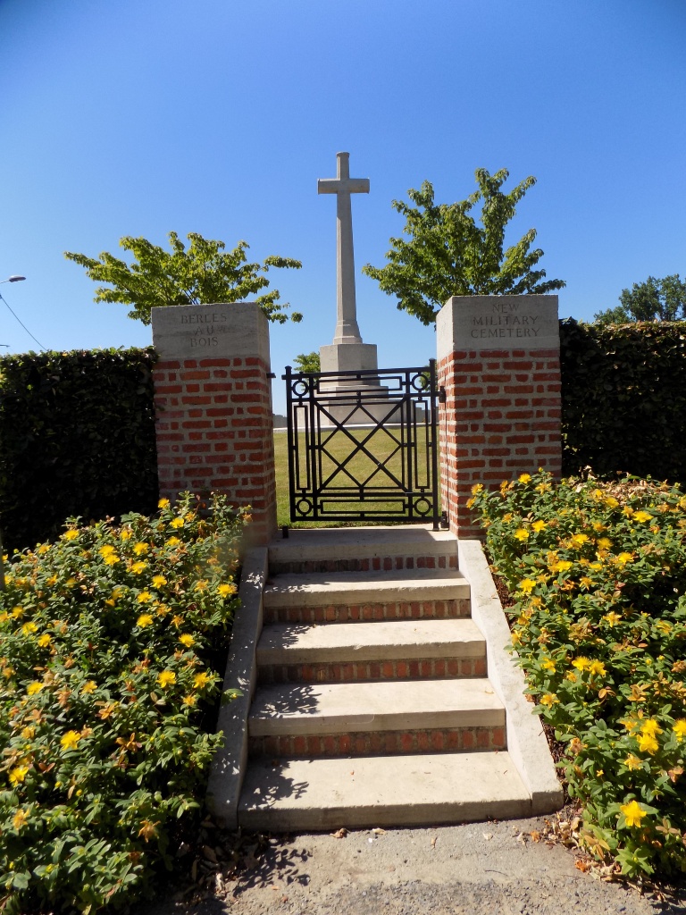
Berles-au-Bois is about 15 kilometres south-west of Arras and 3 kilometres south of the main road from Arras to Doullens (N25). The Cemetery lies at the north-west end of the village on the road leading to Bailleulmont.
Visiting information
Wheelchair access to site possible - maybe by alternative entrance.
For further information regarding wheelchair access, please contact our enquiries dept. on 01628 634221.
The register is available in the Mairie on Monday from 17.30 to 19.30 Thursday from 16.30 to 17.30 Friday from 17.30 to 19.00
History information
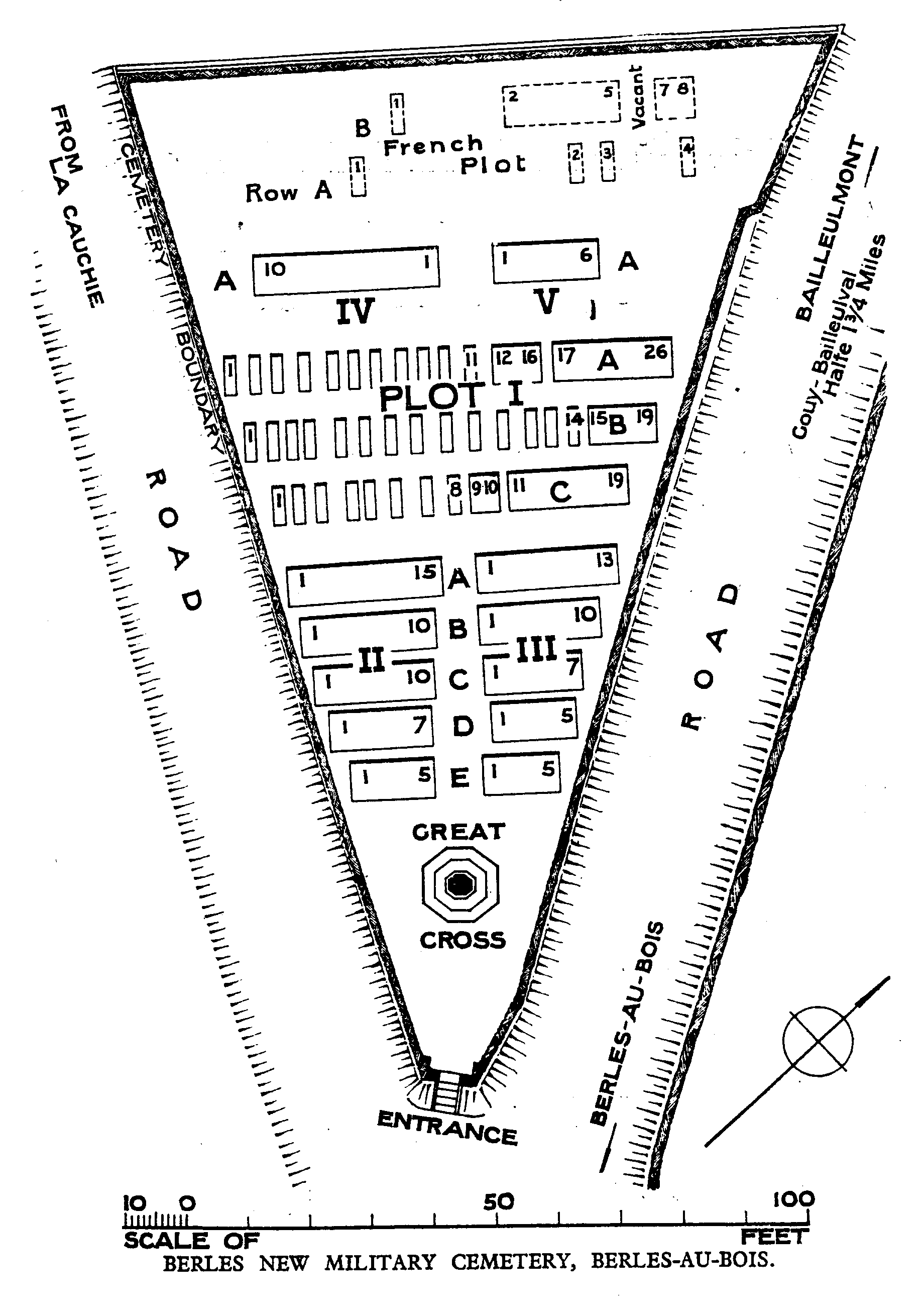
The village of Berles-au-Bois remained in British hands from the summer of 1915, when it was taken over from French troops, until the end of the War; but it suffered at times from severe shelling. The village was later "adopted" by the County Borough of Wolverhampton. Berles New Military Cemetery was begun by fighting units in January 1917, when the Churchyard Extension was closed; it was used until April 1918. There are now over 150, 1914-18 war casualties commemorated in this site. Of these, a small number are unidentified. The Cemetery covers an area of 972 square metres.