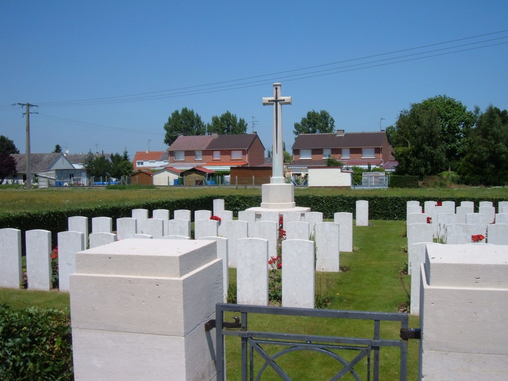
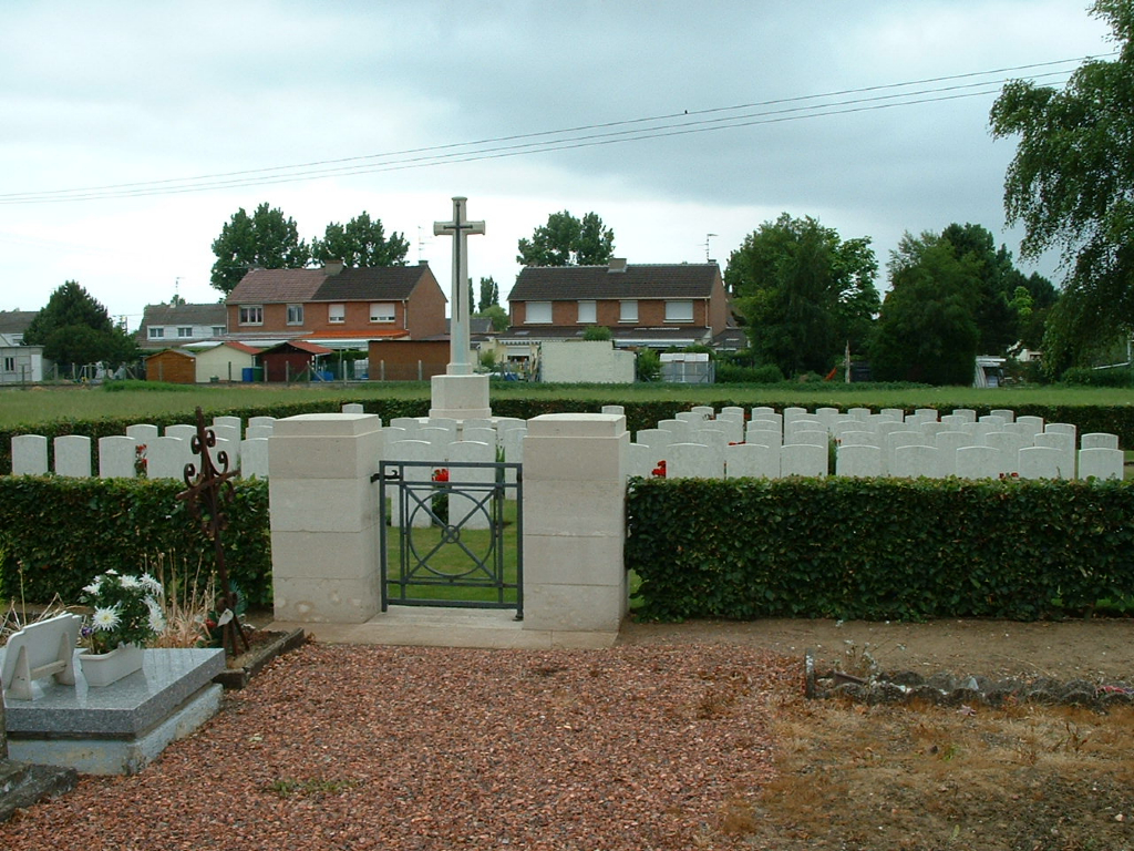
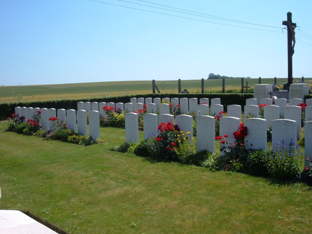
Rumilly-En-Cambresis Communal Cemetery Extension
- Country France
- Total identified casualties 78 Find these casualties
- Region Nord
- Identified casualties from First World War
- GPS Coordinates Latitude: 50.12673, Longitude: 3.22377
Location information
Rumilly is on the east side of the main Cambrai to St Quentin road (N44), about 5 kilometres from Cambrai. Rumilly-en-Cambresis Communal Cemetery is located in the Rue de l'Egalite and the extension is on the east side of the Communal Cemetery, which is signposted from the centre of the village.
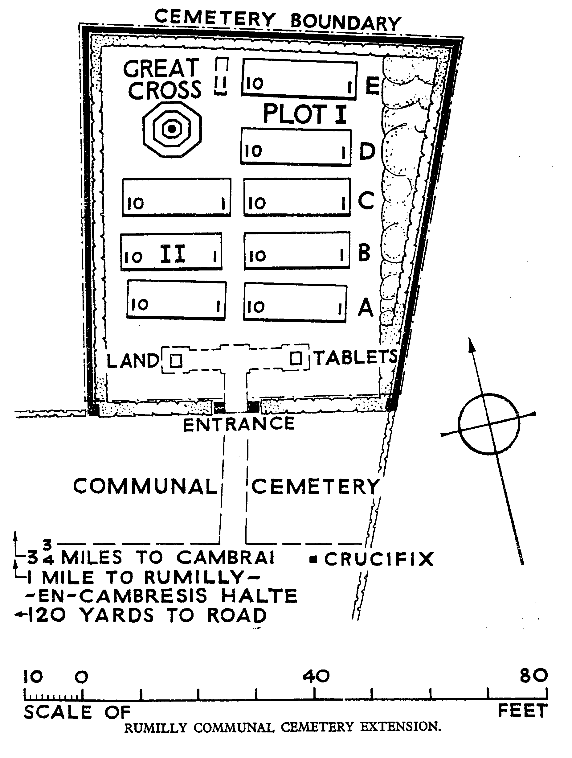
Download Cemetery Plan
History information
Rumilly was captured by the 3rd Division on the 2nd October, 1918. There are now over 80, 1914-18 war casualties commemorated in this site. Of these, a small number are unidentified. The dates of death cover the first fortnight of October, 1918. Thirty German graves of October, 1918, have been removed to Cambrai East Military Cemetery. The Extension covers an area of 360 square metres and is enclosed by a brick wall.