Winnezeele Churchyard
- Country France
- Total identified casualties 20 Find these casualties
- Region Nord
- Identified casualties from First & Second World War
- GPS Coordinates Latitude: 50.84145, Longitude: 2.54991

Location information
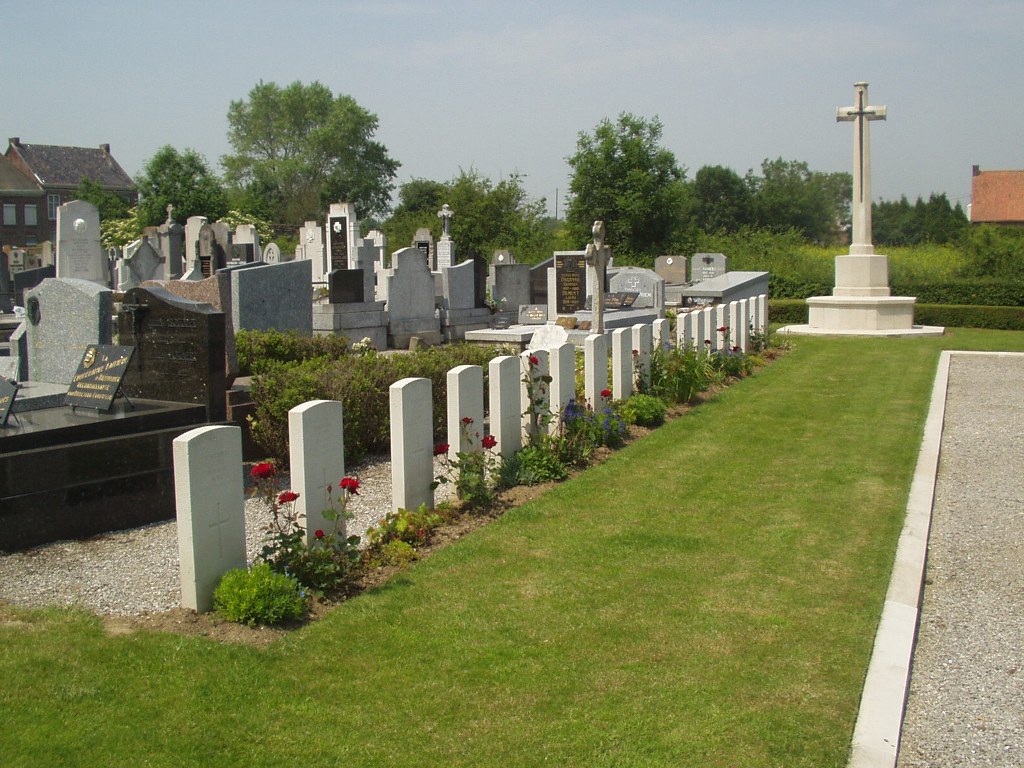
Winnezeele is a village 43 kilometres north-west of Lille, about 25 kilometres south-south-east of Dunkirk and approximately 5 kilometres south-east of Wormhoudt. In the churchyard, north-east of the church and near the boundary hedge is the Commonwealth plot.
History information
There are now a small number of 1914-18 and over 50, 1939-45 war casualties commemorated in this site. Of these, over half from the 1939-45 War are unidentified.