Carmignano Di Brenta Communal Cemetery
- Country Italy
- Total identified casualties 1 Find these casualties
- Identified casualties from First World War
- GPS Coordinates Latitude: 45.63332, Longitude: 11.70133
Location information
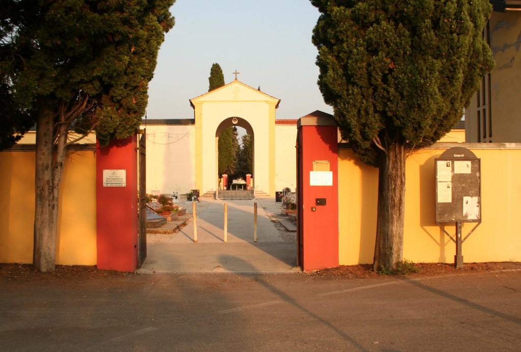
To reach the cemetery take the aAutostrada A31 for Piovene Rocchette and exit to Vicenza Nord. On leaving the motorway head towards Cittadella until you reach Carmignano di Brenta. Turn left and proceed for the main road until the basilica is visible. At the stop sign, proceed straight for Via Trento and after 500 metres turn right to reach the cemetery. Cemetery Address: Via Monte Grappa - Carmignano del Brenta (PD). GPS Co-ordinates: 45.633096, 11.702542. 45° 38' 00,00" N - 11° 42' 03,90" E
Visiting information
Opening times:
Summer: 07:30 - 20:00
Winter: 08:00 - 17:00
For further information and enquiries please contact enquiries@cwgc.org
History information
The Italians entered the war on the Allied side, declaring war on Austria, in May 1915. Commonwealth forces were at the Italian front between November 1917 and November 1918, and rest camps and medical units were established at various locations in northern Italy behind the front, some of them remaining until 1919. Carmignano Di Brenta Communal Cemetery contains one Commonwealth burial of the First World War.