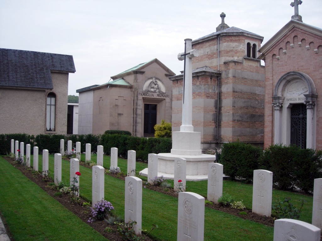
Padua Main Cemetery
- Country Italy
- Total identified casualties 25 Find these casualties
- Identified casualties from First World War
- GPS Coordinates Latitude: 45.4129, Longitude: 11.84914
Location information
Exit the A13 motorway at Padua South. Follow signs for the direction of Vicenza. These signs lead through several intersections on the No.11 road. Continue to follow this road through a semi-urban area on the outskirts of Padua. Continue in the direction of Vicenza. After several kilometres, Padua Main Cemetery can be seen on the right and there is a large car park in front of it. Enter the main gate on foot and proceed to the middle right, to the South-East part of the Cemetery, where the Commonwealth plot is to be found. Cemetery Address: Via del Cimitero, 10 - Padova (PD). GPS Co-ordinates: 45.414675, 11.85133.
Visiting information
Wheelchair access is possible via the main entrance. For further information regarding wheelchair access, please contact our Enquiries Section on enquiries@cwgc.org or 01628 507200.
History information
The Italians entered the war on the Allied side, declaring war on Austria, in May 1915. Commonwealth forces were at the Italian front between November 1917 and November 1918, and rest camps and medical units were established at various locations in northern Italy behind the front, some of them remaining until 1919.
Padua was at first General Headquarters for the Commonwealth force fighting in Italy and No. 37 Casualty Clearing Station was also posted there. The city was severely bombed by Austrian airmen.
Padua Main Cemetery contains a plot of 25 Commonwealth burials of the First World War, 11 of which were brought in after the Armistice from the Canal Cemetery, Abano Bagni.