Stradella Communal Cemetery
- Country Italy
- Total identified casualties 1 Find these casualties
- Identified casualties from First World War
- GPS Coordinates Latitude: 45.07613, Longitude: 9.31471
Location information
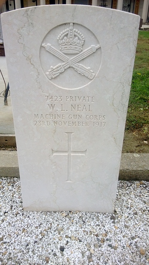
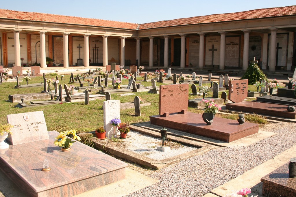
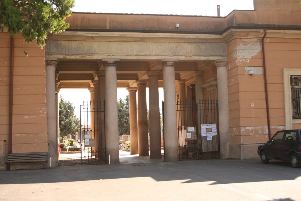
The cemetery is 48 kilometres South of Milan. The single Commonwealth burial is located at 'Field n. 5, section n. 3, detartment 5, path G' towards the left side of the Cemetery from the main entrance. Cemetery Address: Via Don Rutta (PV). GPS Co-ordinates: 45.075021, 9.312479.
Visiting information
The cemetery is open daily from 9.00am to 5.00 pm.
For further information and enquiries please contact enquiries@cwgc.org
History information
The Italians entered the war on the Allied side, declaring war on Austria, in May 1915. Commonwealth forces were at the Italian front between November 1917 and November 1918, and rest camps and medical units were established at various locations in northern Italy behind the front, some of them remaining until 1919. From the Summer of 1917 until late 1918, the Mediterranean lines of communication for the British Salonika Force ran the length of Italy from Taranto in the south-east, to Turin in the north-west. Stradella Communal Cemetery contains one Commonwealth burial of the First World War.