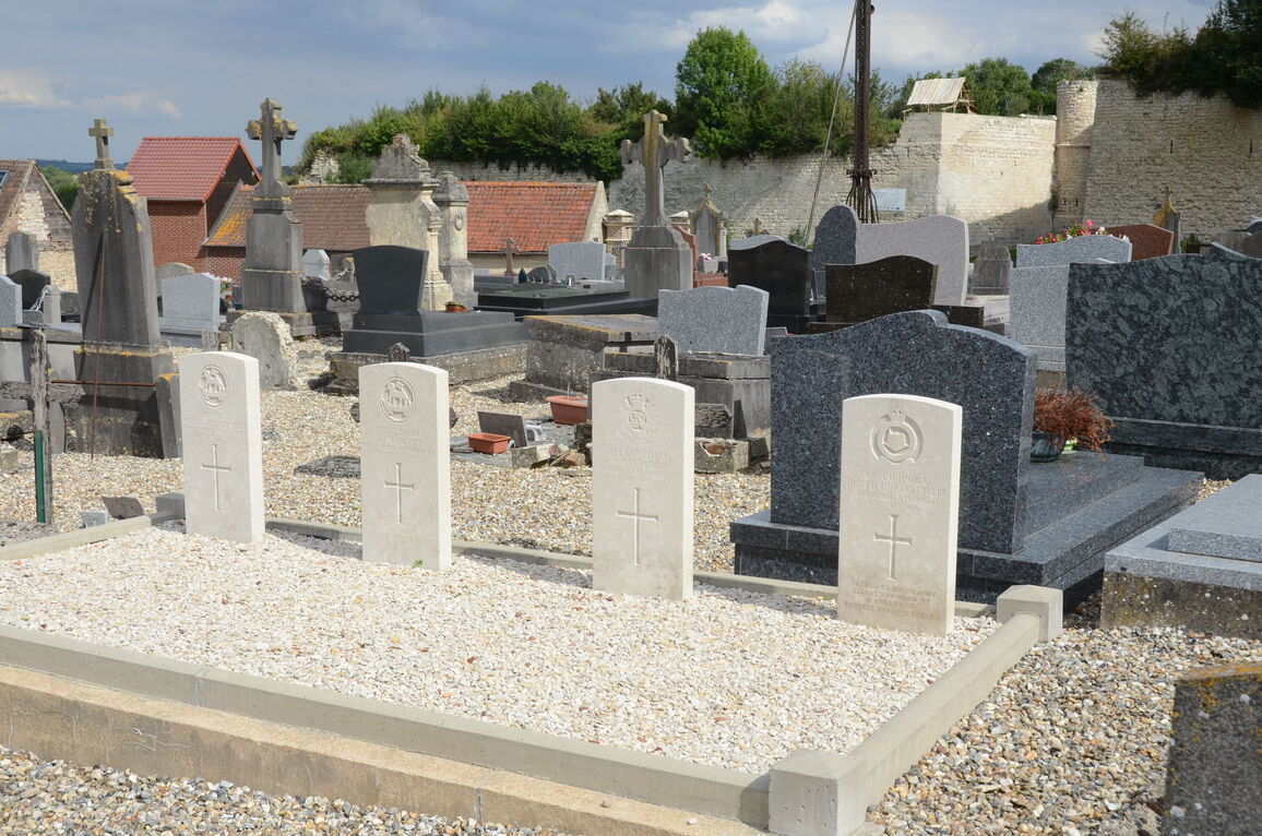
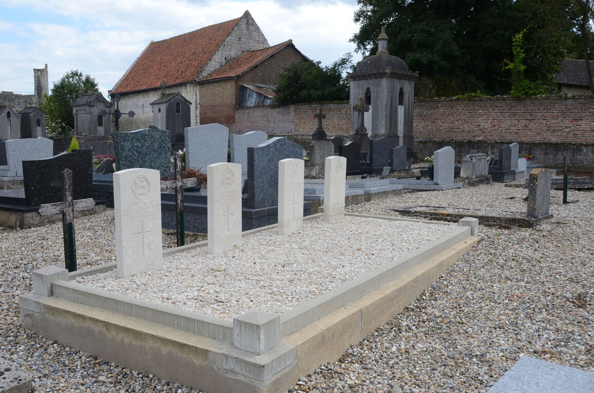
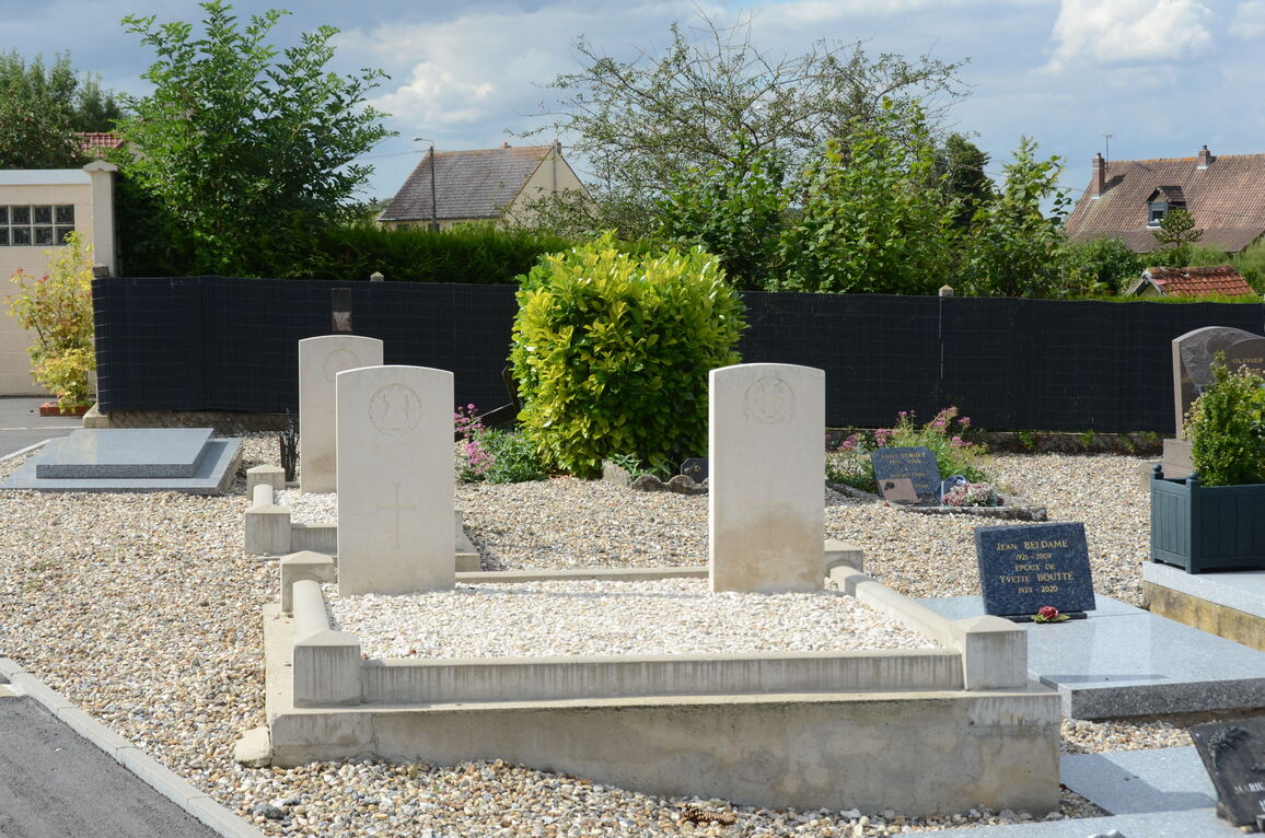
Picquigny Communal Cemetery
- Country France
- Total identified casualties 10 Find these casualties
- Region Somme
- Identified casualties from First World War
- GPS Coordinates Latitude: 49.94372, Longitude: 2.14106
Location information
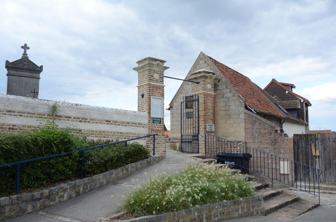
Picquigny is a village on the banks of the River Somme, north-east of Amiens. From Amiens take the N235 towards Picquigny. Once in the village, take the D936 towards Airaines. On the outskirts of the village is a chateau on the left hand side of the road, and the Communal Cemetery is opposite this chateau.
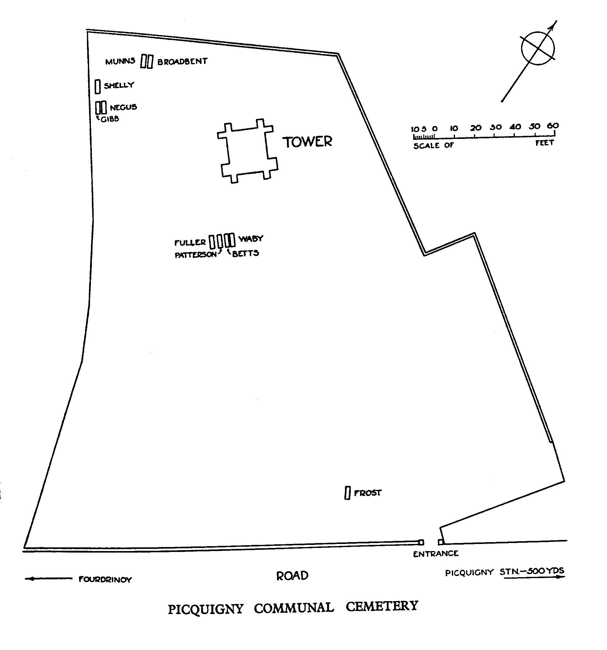
Download Cemetery Plan
History information
The ten Commonwealth burials in the communal cemetery were made between December 1915 and July 1917, when Picquigny was on the lines of communication for French and Commonwealth forces. The German advance of March 1918 brought casualty clearing stations to the village and the nearby British cemetery was opened in April.