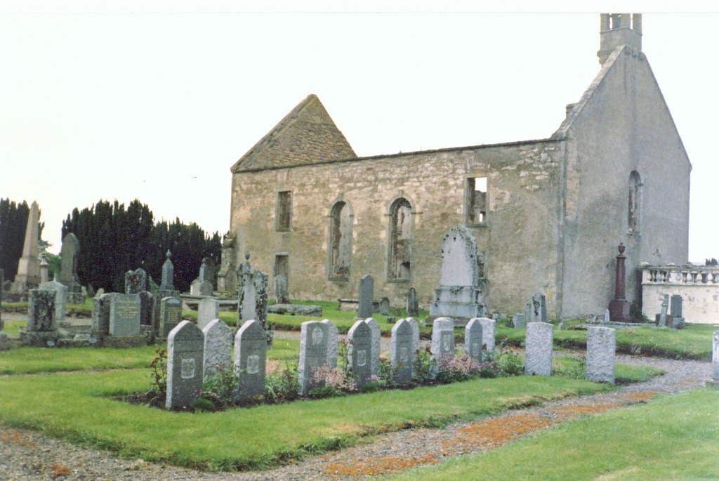
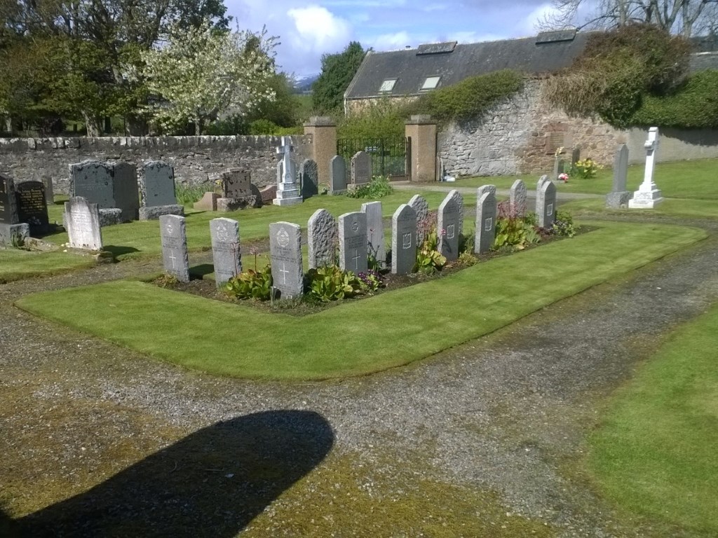
Kiltearn Parish Churchyard
- Country United Kingdom
- Total identified casualties 18 Find these casualties
- Region Ross and Cromarty
- Identified casualties from First & Second World War
- GPS Coordinates Latitude: 57.65558, Longitude: -4.32058
Location information
Kiltearn Parish Churchyard lies south of the village of Evanton, close to the main A9 road. Travelling north from Inverness on the A9, cross the Cromarty Bridge and travel one mile further, then exit left onto the B817 (Balconie Street). After about 100 yards turn right and cross over the A9 onto a minor road that heads down hill to the Cromarty Firth. The churchyard is at the end of this road.
History information
The Commission maintains 1 First World War grave and 17 Second World War graves (including 7 Polish) in this churchyard.