Daours Communal Cemetery
- Country France
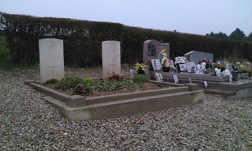
- Total identified casualties 2 Find these casualties
- Region Somme
- Identified casualties from First World War
- GPS Coordinates Latitude: 49.90568, Longitude: 2.44551
Location information
Daours is a village in the Department of the Somme, about 10 kilometres east of Amiens and is north-west of Villers-Bretonneux. Go through the village of Corbie on the D1 in the direction of Fouilloy-Amiens (A1 Paris) and then enter and travel through the village of Fouilloy on the D1 in the direction of Daours-Amiens (A16). Enter Daours and at the traffic lights turn right in the direction of Pont-Noyelle on the D115 - where the first CWGC signpost will be seen. Carry on for 0.4 kilometres and Daours Communal Cemetery is on the left hand side of the road.
History information
Daours Communal Cemetery contains two Commonwealth burials of the First World War, made before the extension was started in june 1916.