La Louviere Town Cemetery
- Country Belgium
- Total identified casualties 49 Find these casualties
- Region Hainaut
- Identified casualties from First World War
- GPS Coordinates Latitude: 50.48185, Longitude: 4.20346
Location information
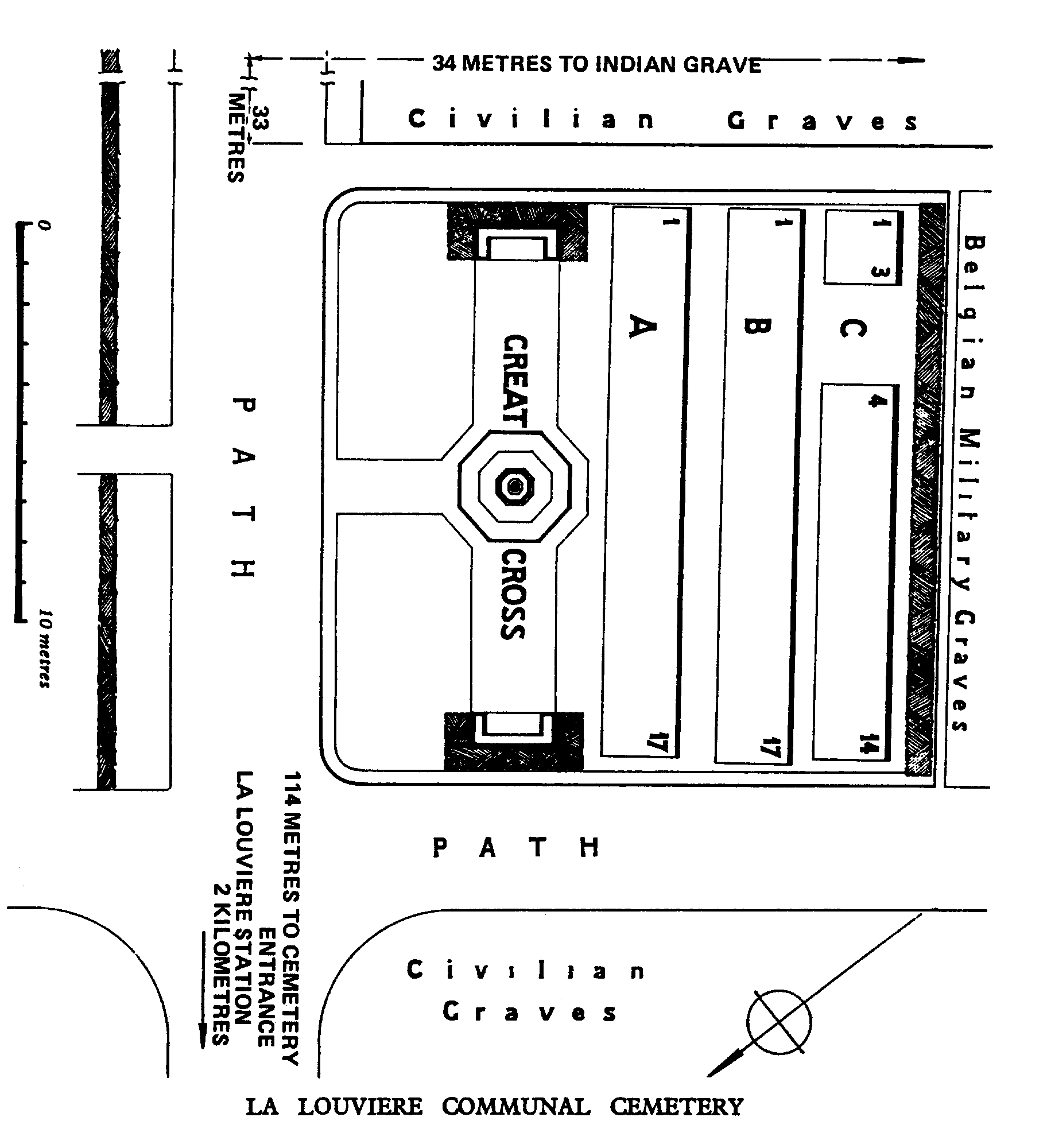
La Louviere Town Cemetery is located midway between Mons (16 Km) and Charleroi (21 Km). From Mons the cemetery is located via the E42 and the exit showing La Louviere Centre, leading onto the rue Eugie Dubois. After 500 metres turn left onto the rue de la Grattine, then continue for a further 500 metres to the right hand turn onto the rue de la Flache. The cemetery is located 100 metres along this road on the left hand side. GPS Co-ordinates: Longitude 04°12'18", Latitude 50°28'52"
Visiting information
Visitors should note that this site is restricted to normal cemetery opening hours. Wheelchair access possible via main entrance. For further information regarding wheelchair access, please contact our Enquiries Department on telephone number: 01628 634221
History information
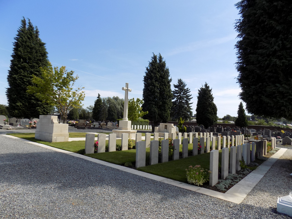
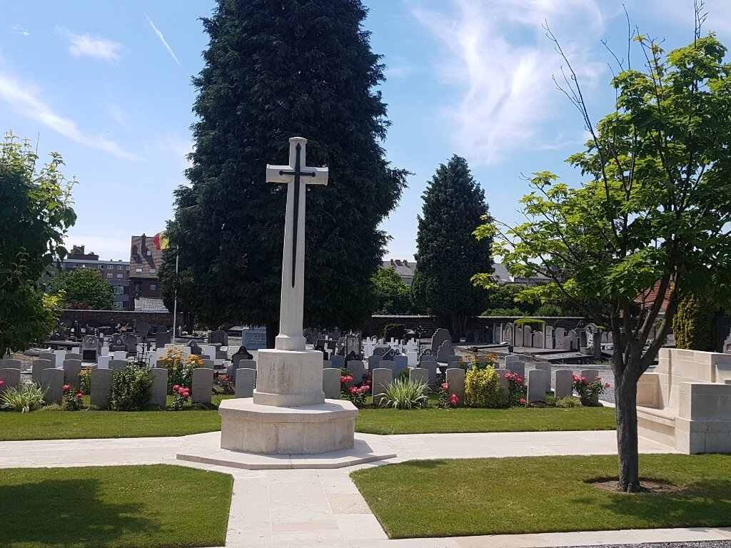
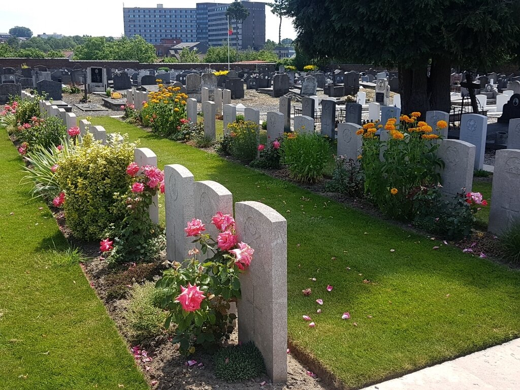
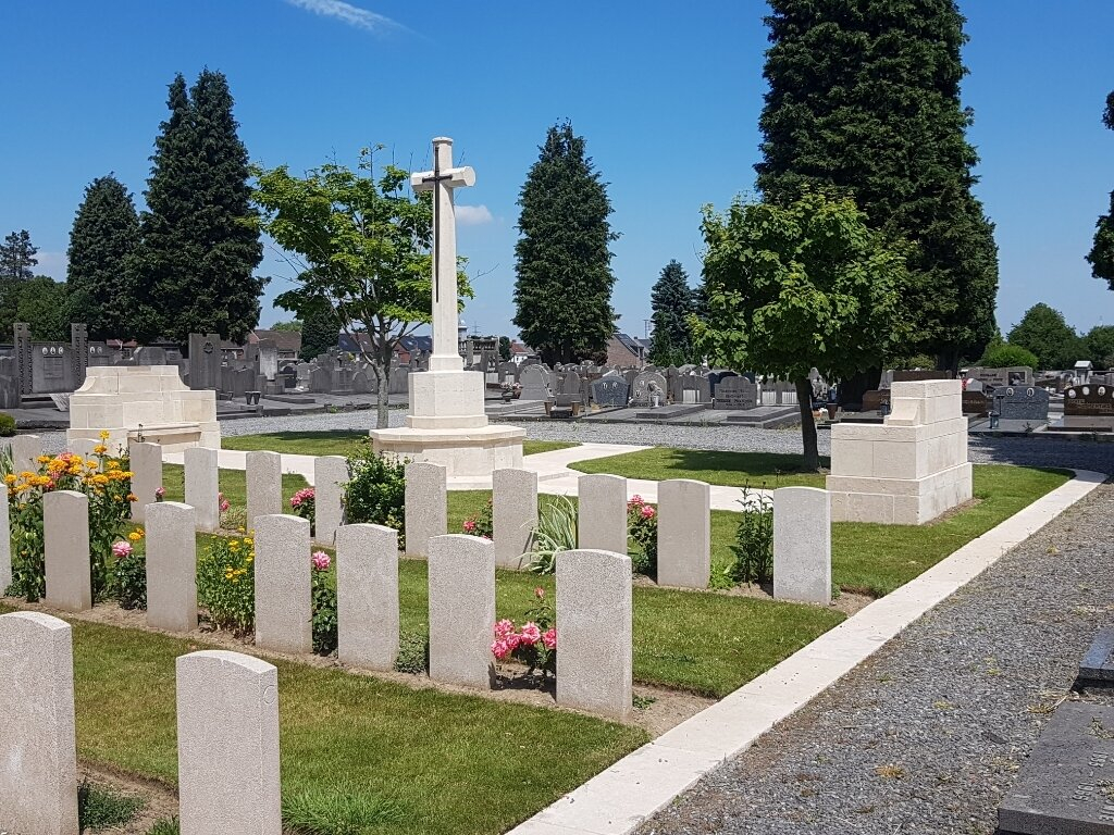
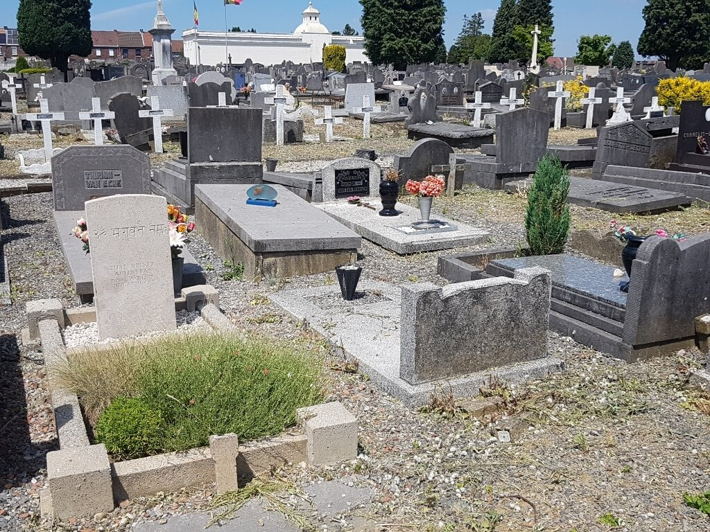
No. 30 Casualty Clearing Station was at La Louviere after the Armistice, from December 1918 to April 1919. They began the Commonwealth plot in the communal cemetery, and later, 11 Commonwealth burials made by the Germans elsewhere in the cemetery during the occupation were moved there. The cemetery now contains 49 Commonwealth burials of the First World War. One of these burials is among the civilian graves. The British plot covers an area of 231 square metres.