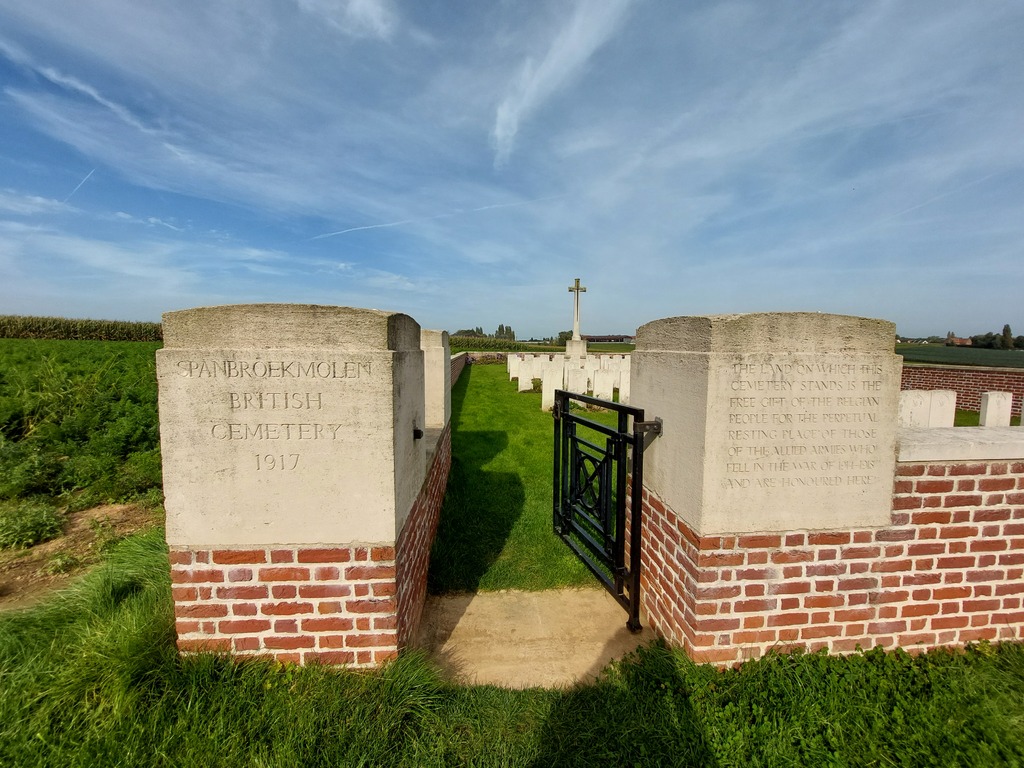
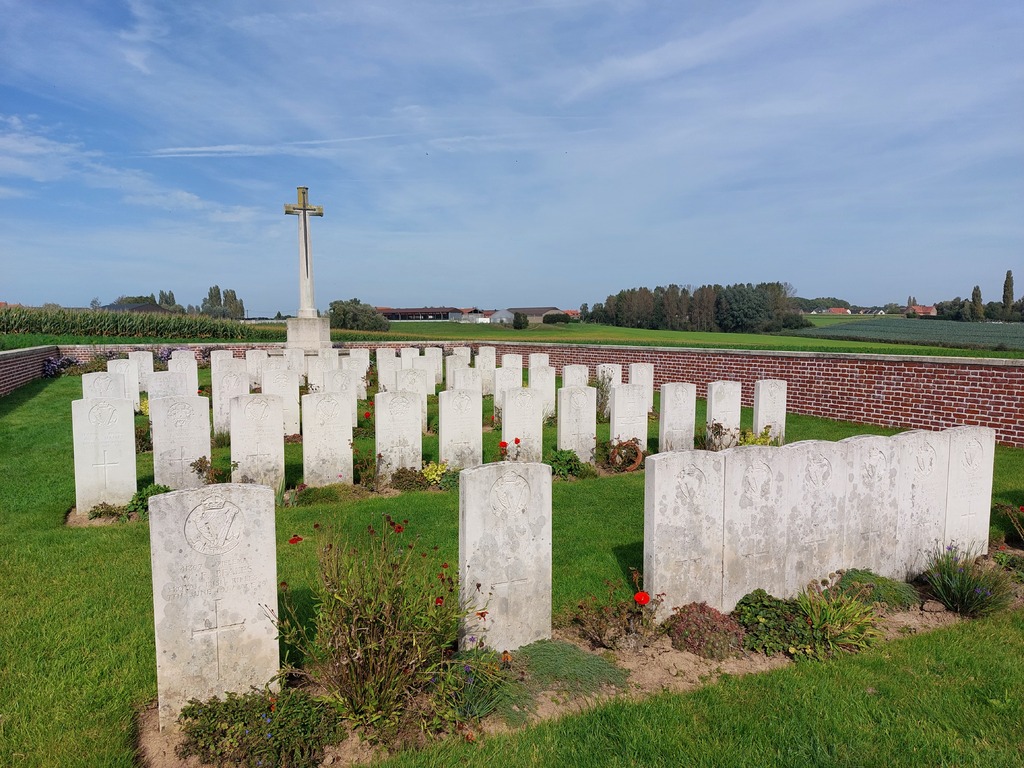
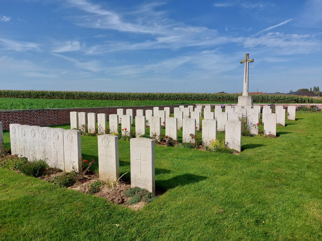
Spanbroekmolen British Cemetery
- Country Belgium
- Total identified casualties 52 Find these casualties
- Region West-Vlaanderen
- Identified casualties from First World War
- GPS Coordinates Latitude: 50.77826, Longitude: 2.86702
Location information
Spanbroekmolen British Cemetery is located 8 Km south of Ieper town centre, on a road leading from the Rijselseweg N365, which connects Ieper to Wijtschate and onto Armentieres. From Ieper town centre the Rijselsestraat runs from the market square, through the Lille Gate (Rijselpoort) and directly over the crossroads with the Ieper ring road. The road name then changes to the Rijselseweg. On reaching the village of Wijtschate the first right hand turning is the Hospicestraat leading onto the village square. The Wijtschatestraat leads from the village square, 1.5 Km beyond which lies the Scheerstraat on the left hand side. The cemetery itself lies 500 metres along the Scheerstraat on the left hand side of the road. Visitors to this site should note the 200 metre grassed access path which is unsuitable for vehicles.
Visiting information
Wheelchair access possible via main entrance. For further information regarding wheelchair access, please contact our Enquiries Department on telephone number: 01628 634221
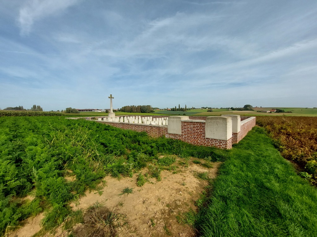
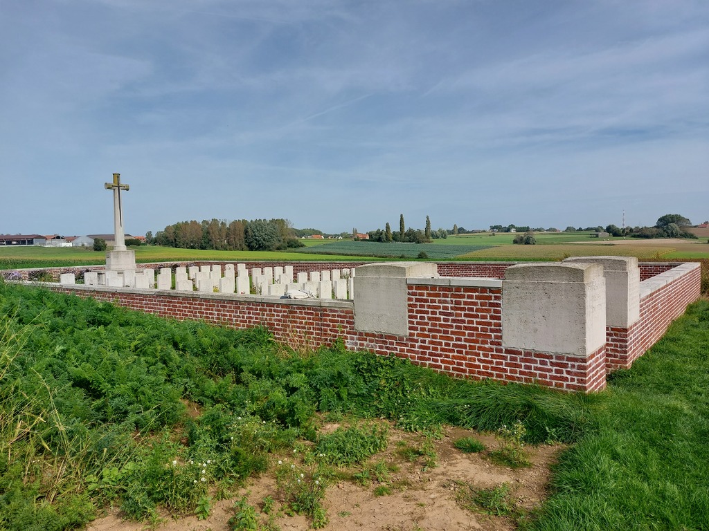
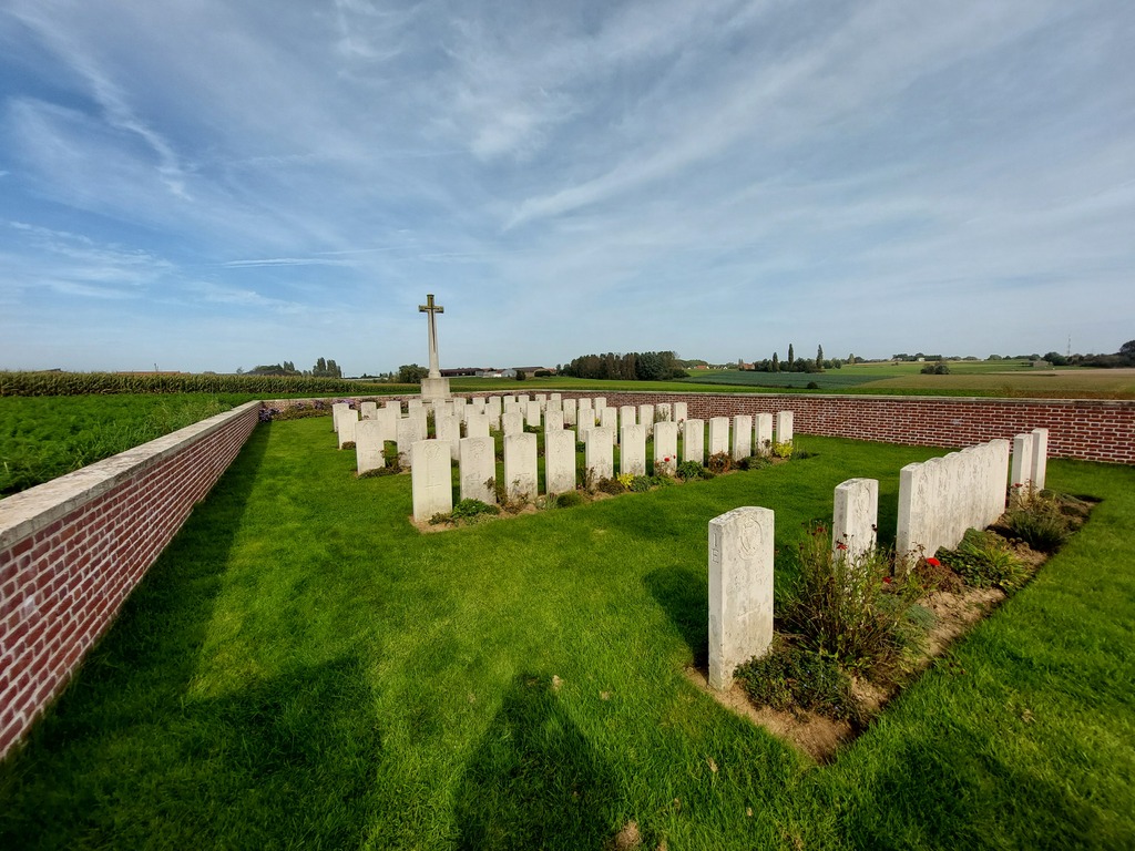
History information
The cemetery is named after a windmill which stood nearby and contains the graves of men killed in action on the first (or, in three cases the second) day of the Battle of Messines in 1917. The cemetery was destroyed in subsequent operations but found again after the Armistice. There are 58 casualties of the First World War buried or commemorated in the cemetery. Special memorials commemorate six servicemen who were known to have been buried in the cemetery but whose graves were later destroyed. The cemetery was designed by J R Truelove.