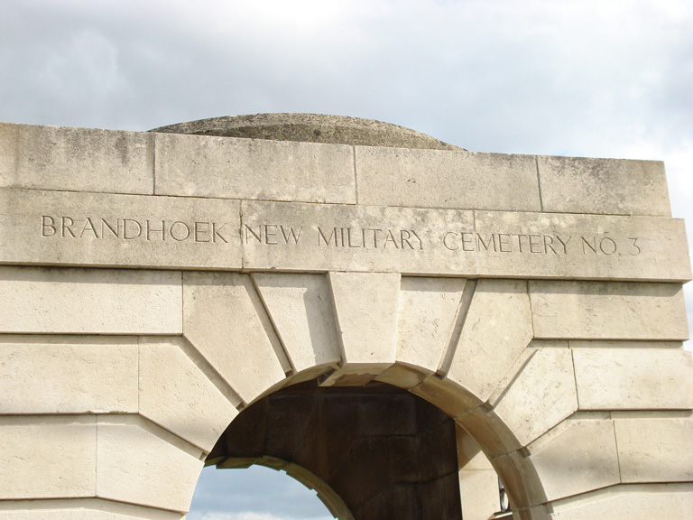
Brandhoek New Military Cemetery No.3
- Country Belgium
- Total identified casualties 975 Find these casualties
- Region West-Vlaanderen
- Identified casualties from First World War
- GPS Coordinates Latitude: 50.85218, Longitude: 2.78782
Location information
Brandhoek New Military Cemetery No 3 is located 6.5 km west of Ieper town centre, on the Zevekotestraat, a road leading from the N308 connecting Ieper to Poperinge. From Ieper town centre the Poperingseweg (N308), is reached via Elverdingestraat then directly over two small roundabouts in the Capronstraat. The Poperingseweg is a continuation of the Capronstraat and begins after a prominent railway level crossing. 6 km along the N308, after passing the village of Vlamertinge and just beyond the church in the hamlet of Brandhoek lies the left hand turning onto the Grote Branderstraat. After crossing the N38 Westhoekweg, the first right hand turning leads onto the Zevekotestraat. The cemetery is located 300 metres along the Zevekotestraat on the left hand side of the road, beyond the N38 dual carriageway, which it is necessary to cross.
Visiting information
ARRIVAL
The route to the cemetery is signposted.
PARKING
It is possible to park at the side of the road along the front of the cemetery. The distance from the layby is within 10 metres of the main entrance. The is space for multiple vehicles.
The layby area is level with the road and constructed of brick paving stones. There is a shallow drainage channel between the paving and the road.
The ground is flat and firm.
ACCESS LAYOUT AND MAIN ENTRANCE
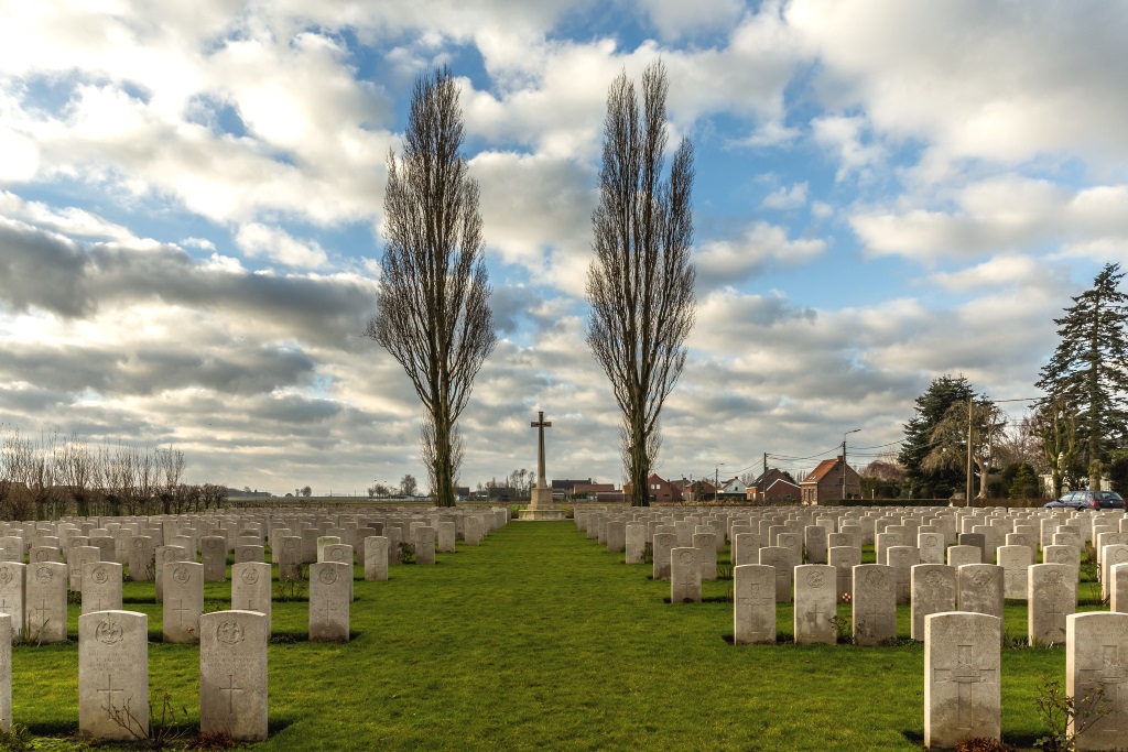
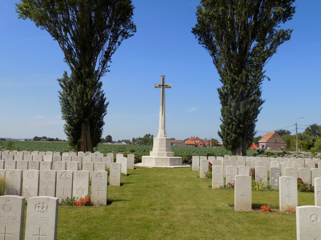
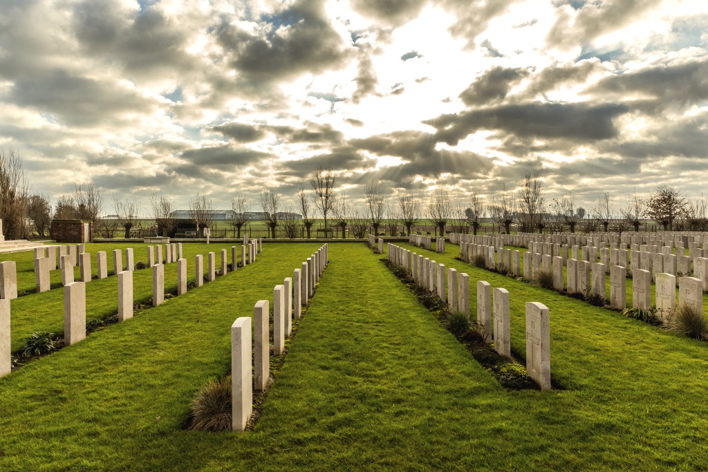
The cemetery runs parallel to the main road, rectangular in shape and surrounded by a low stone wall and kerbing.
There is a low stone step (10 cm high) in front of the main gate.
The main entrance is through a stone entrance building with an archway leading into the site. Under the arch is a 1.20 metre wide, two-section latched metal gate. The gate is approximately 900 mm high and opens inwards.
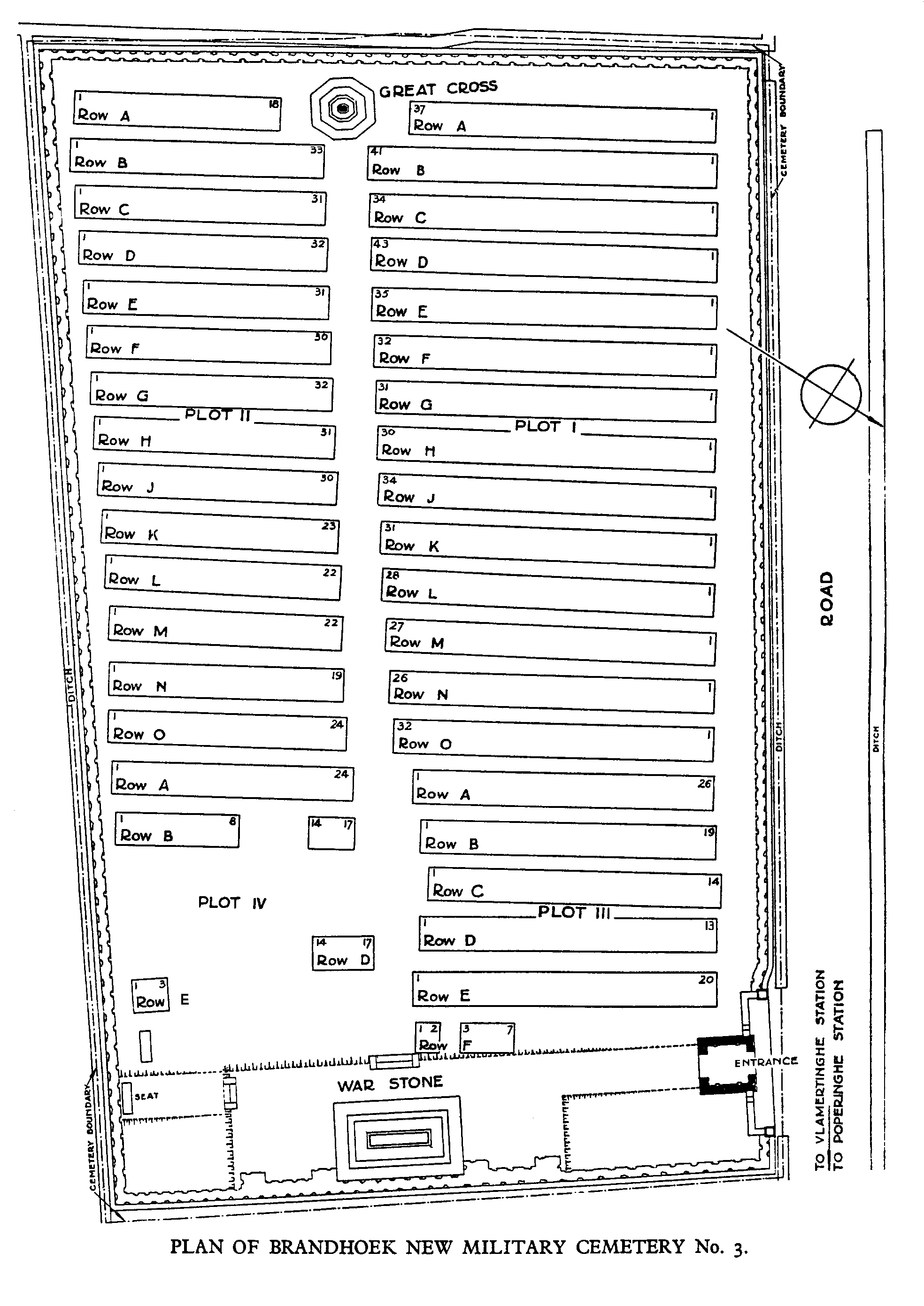
The Stone of Remembrance is at the side of the cemetery closest to the main entrance.
The Cross of Sacrifice is at the far end of the cemetery in line with the Stone of Remembrance.
There is a stone bench opposite the main entrance in line with the Stone of Remembrance. There is also a stone bench inside the entrance building.
The are visitor information signs on a raised plinths close to the memorial arch at the main entrance.
The Register Box is mounted into the wall inside the entrance building.
All internal paths are grass, the ground is firm and flat.
There is a stone kerb along the roadside boundary level with the grass. The kerb is 50 to 150 mm higher than the adjacent paving stones along the road.
ALTERNATIVE ACCESS
It is possible to access the cemetery at the far end of the site adjacent to the layby alongside the cemetery boundary. Cobbled paving is against the stone kerb, which is level with the paving and grass inside the cemetery,
ADDITIONAL INFORMATION
The cemetery is permanently open.
History information
During the First World War, Brandhoek was within the area comparatively safe from shell fire which extended beyond Vlamertinghe Church. Field ambulances were posted there continuously.
Until July 1917 burials had been made in the Military Cemetery, but the arrival of the 32nd, 3rd Australian and 44th Casualty Clearing Stations, in preparation for the new Allied offensive launched that month, made it necessary to open the New Military Cemetery. The New Military Cemetery No 3 opened in August and continued in use until May 1918.
Brandhoek New Military Cemetery No 3 contains 975 First World War burials.
The cemetery was designed by Sir Reginald Blomfield.