Rocquigny-Equancourt Road British Cemetery, Manancourt
- Country France
- Total identified casualties 2018 Find these casualties
- Region Somme
- Identified casualties from First World War
- GPS Coordinates Latitude: 50.04405, Longitude: 2.99008
Location information
Rocquigny and Equancourt are two villages in the Department of the Somme, some 13 kilometres north of Peronne and 12 kilometres south-east of Bapaume. Rocquigny and Equancourt are approximately 8 kilometres apart and the Rocquigny-Equancourt British Cemetery lies about halfway between the two villages on the north side of the road just west of the crossing road from Etricourt to Ytres.
Visiting information
The location or design of this site makes wheelchair access impossible. For further information regarding wheelchair access, please contact our Enquiries Section on 01628 507200.
History information
Etricourt was occupied by Commonwealth troops at the beginning of April 1917 during the German withdrawal to the Hindenburg Line. It was lost on the 23 March 1918 when the Germans advanced, but regained at the beginning of September.
The cemetery was begun in 1917 and used until March 1918, mainly by the 21st and 48th Casualty Clearing Stations posted at Ytres, and to a small extent by the Germans, who knew it as "Etricourt Old English Cemetery". Burials were resumed by Commonwealth troops in September 1918 and the 3rd Canadian and 18th Casualty Clearing Stations buried in it in October and November 1918.
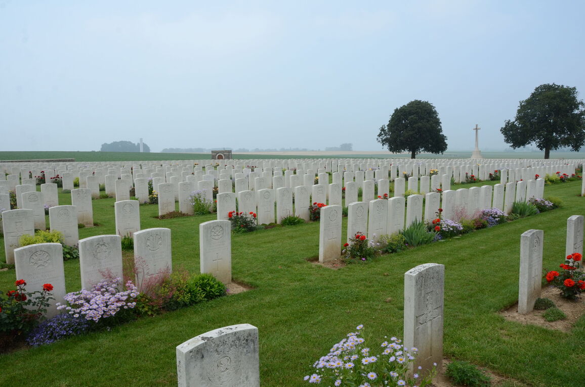
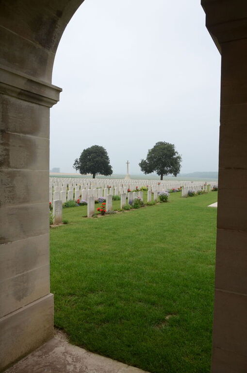
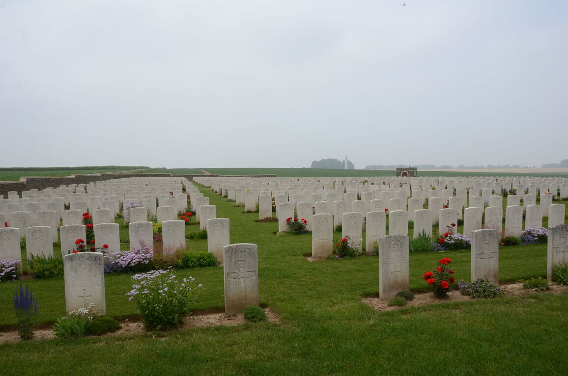
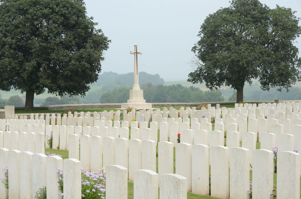
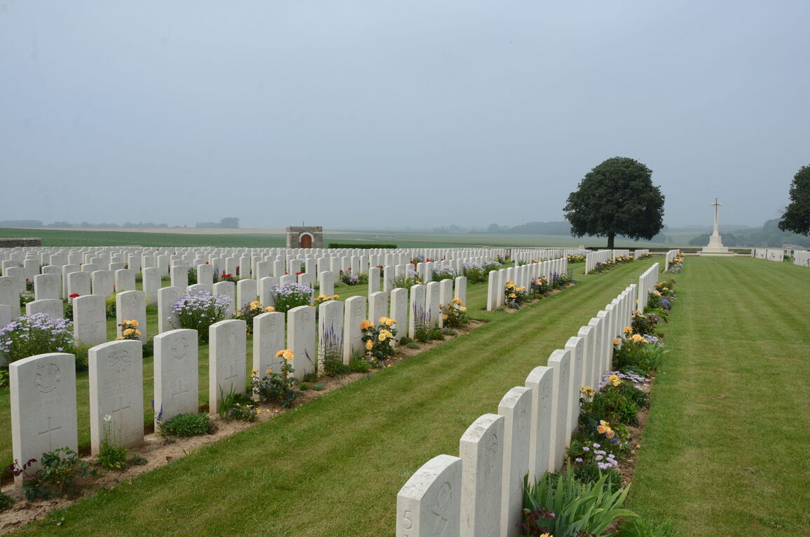
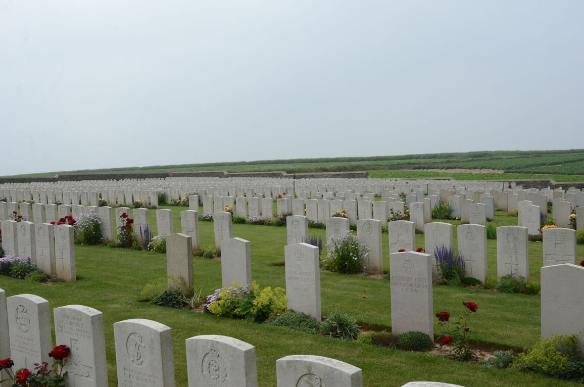
The cemetery contains 1,838 Commonwealth burials and commemorations of the First World War. 20 of the burials are unidentified and nine Commonwealth graves (6 of which were made by the Germans) which cannot now be found are represented by special memorials. The cemetery also contains 198 German war burials and the graves of ten French civilians.
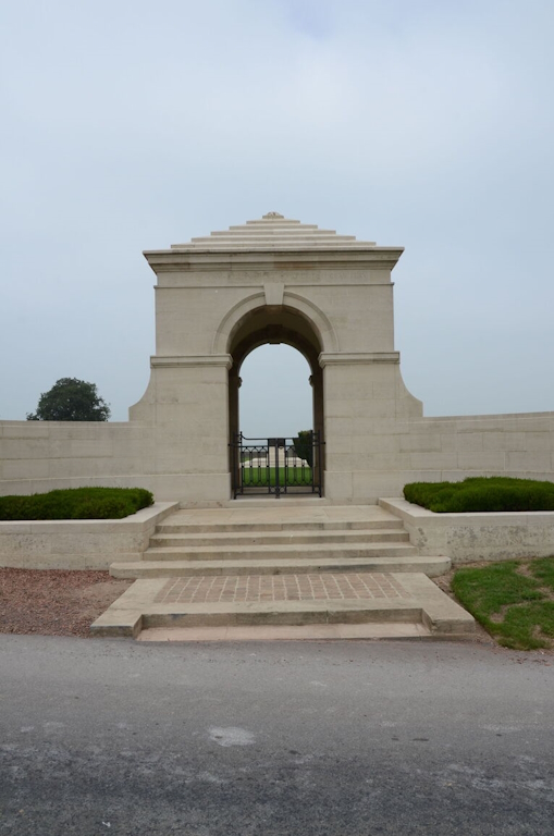
The cemetery was designed by Sir Reginald Blomfield.