Troqueer Cemetery
- Country United Kingdom
- Total identified casualties 62 Find these casualties
- Region Dumfriesshire
- Identified casualties from First & Second World War
- GPS Coordinates Latitude: 55.0585, Longitude: -3.60488
Location information
Troqueer Cemetery is in the town of Dumfries. It is south of the town centre, adjacent to the River Nith. Dumfries railway station is approximately one mile due north of it. The main entrance to the cemetery is on Gladstone Road which can be reached by turning south off the A756 (St Michael's Bridge Road) on to Troqueer Road. Gladstone Road is at a crossroads at the end of this road. Turn left into Gladstone Road and the cemetery entrance will be found just before the bank of the River Nith is reached.
History information
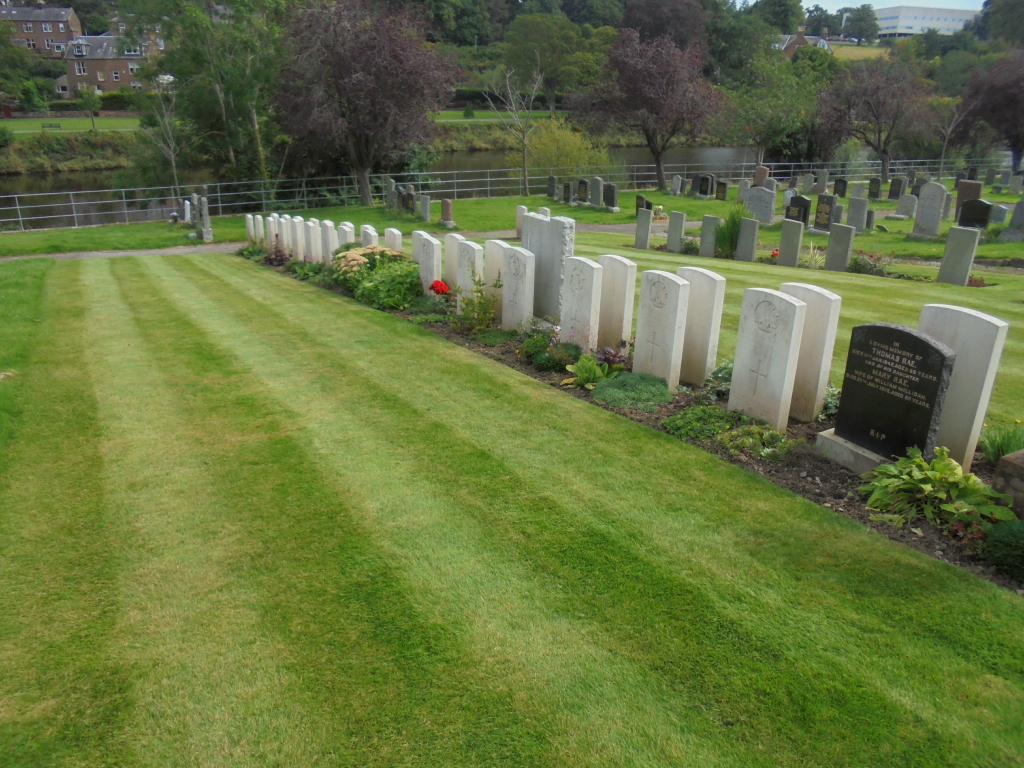
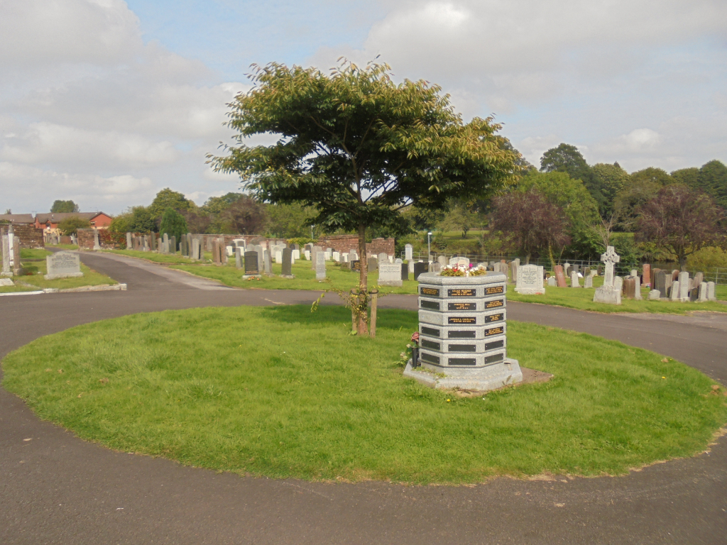
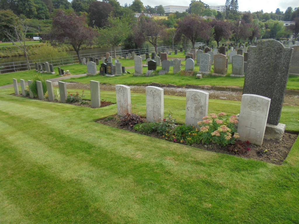
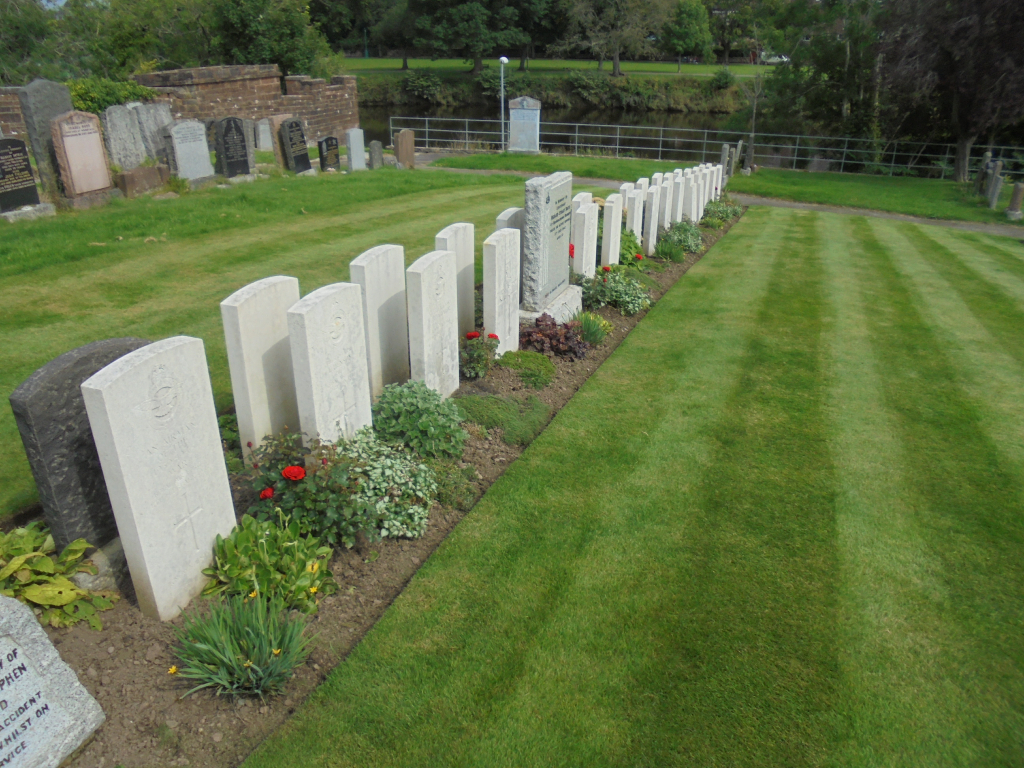
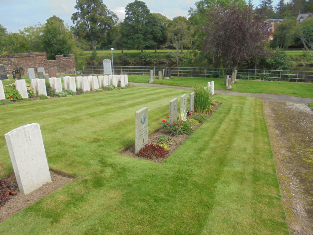
Troqueer Cemetery (formerly Troqueer Parish Churchyard and Troqueer New Burial Ground) contains 10 Commonwealth burials of the 1914-1918 war. There are a further 34 Commonwealth burials of the 1939-1945 war here, including 1 unidentified airman of the R.A.F., (buried in Sec. H. Extn. 2. Grave 115). Most burials are in a Service Plot but there are a few in other parts of the cemetery.
There are also 18 Foreign National burials and 1 Non World War burial here.