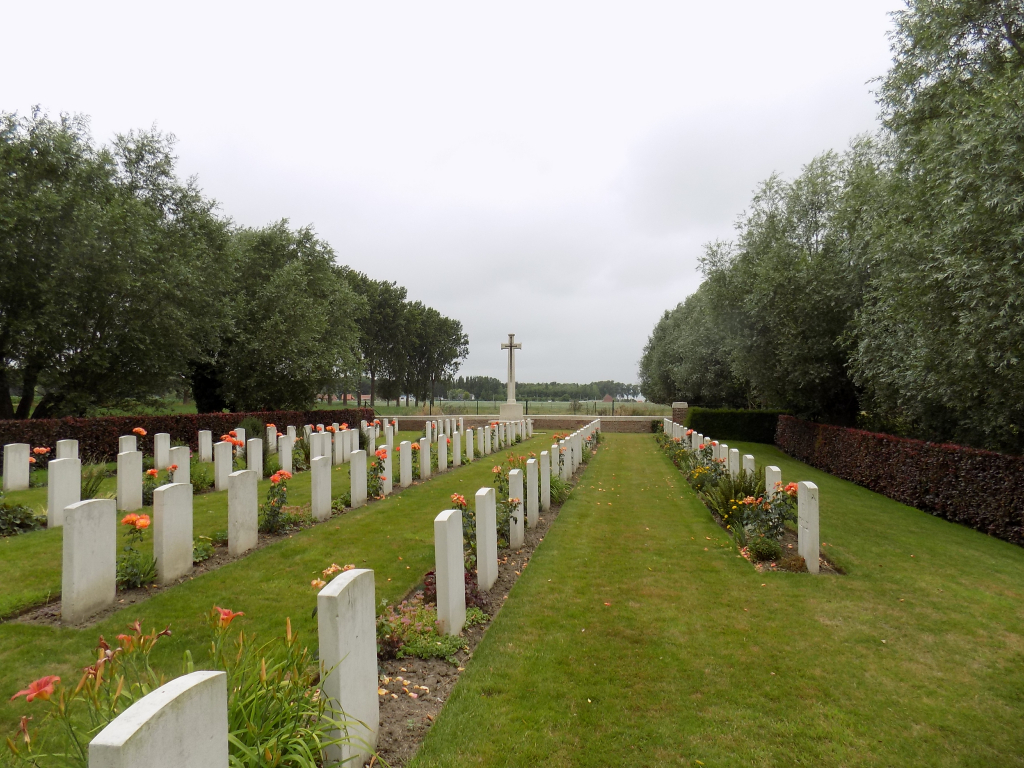
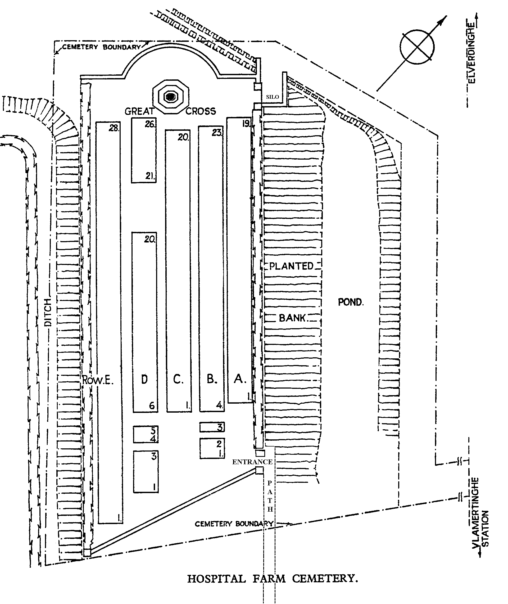
Hospital Farm Cemetery
- Country Belgium
- Total identified casualties 113 Find these casualties
- Region West-Vlaanderen
- Identified casualties from First World War
- GPS Coordinates Latitude: 50.86969, Longitude: 2.7994
Please note
Trees have been cut on land adjacent to the entrance path of this cemetery. Access to this cemetery is possible but we must advise visitors to tread carefully when walking down the path.
Location information
Hospital Farm Cemetery is located 6.5 km west of Ieper town centre, on the Hospitaalstraat, a road leading from the N308 connecting Ieper to Poperinge. From Ieper town centre the Poperingseweg (N308), is reached via Elverdingsestraat then directly over two small roundabouts in the J. Capronstraat. The Poperingseweg is a continuation of the J. Capronstraat and begins after a prominent railway level crossing. 4 km along the N308, in the village of Vlamertinge just beyond the church, lies the right hand turning onto Hospitaalstraat. The cemetery itself is located 2.5 km after this turning on the left hand side of the road. Visitors should note that access to the site is via a field often used by livestock and is unsuitable for vehicles and wheelchairs.
Visiting information
Wheelchair access to the cemetery is possible via main entrance.
For further information regarding wheelchair access, please contact our Enquiries Section on 01628 507200.
History information
Hospital Farm was the name given to a farm building used as a dressing station. The cemetery was used particularly in 1915 and in 1917 by regiments and batteries engaged in the fighting around Ypres. The cemetery contains 115 Commonwealth burials of the First World War and one Belgian war grave. The cemetery was designed by N A Rew.