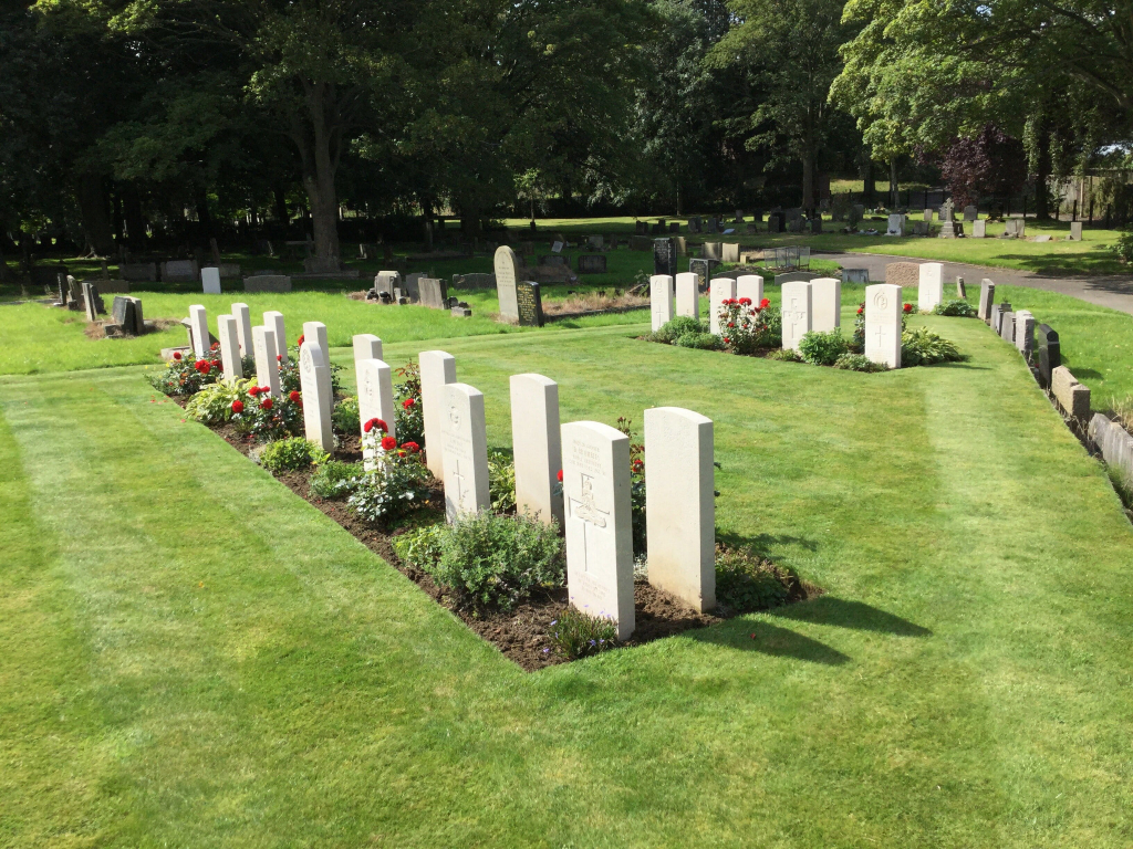
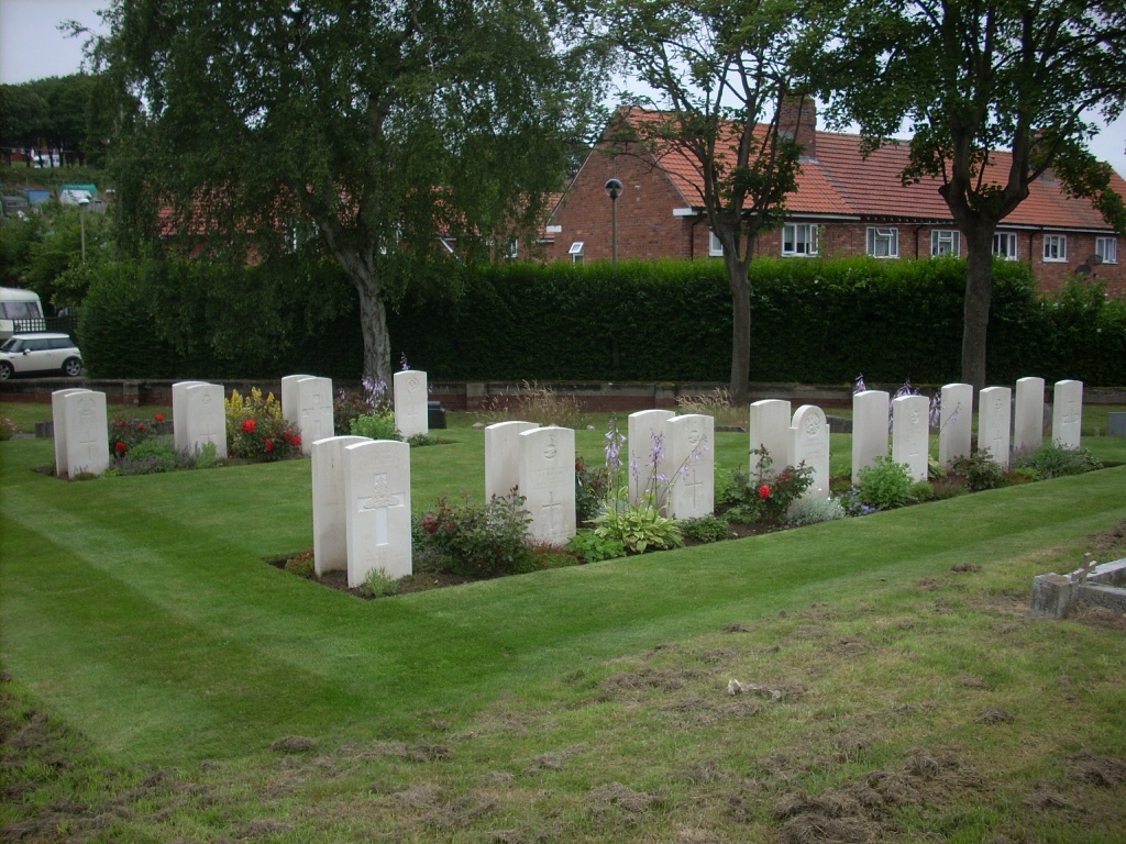
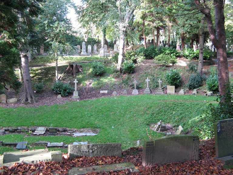
Scarborough (Manor Road) Cemetery
- Country United Kingdom
- Total identified casualties 94 Find these casualties
- Region Yorkshire
- Identified casualties from First & Second World War
- GPS Coordinates Latitude: 54.28431, Longitude: -0.4184
Our War Graves, Your History
Discover more about the history of Scarborough (Manor Road) Cemetery and plan a visit through our Our War Graves, Your History project.
Find out more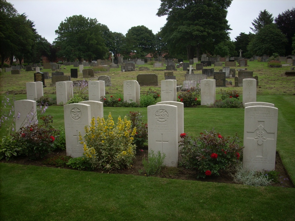
History information
Scarborough was heavily bombarded in 1914 and was severely attacked by enemy aircraft in 1941, having been one of the Home Port fixed artillery defence posts during the 1939-1945 War. What was formerly known as "Scarborough" Cemetery consisting of two distinct portions divided by a road, has since been recognised as two separate cemeteries, the older part in Dean Road, which contains the Cross of Sacrifice erected after the 1914-1918 War, now being called Dean Road Cemetery. The newer portion to the left of it, bounded by Broadway on the north and Manor Road on the south, is known as Manor Road Cemetery.