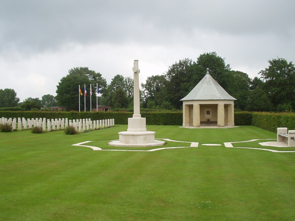
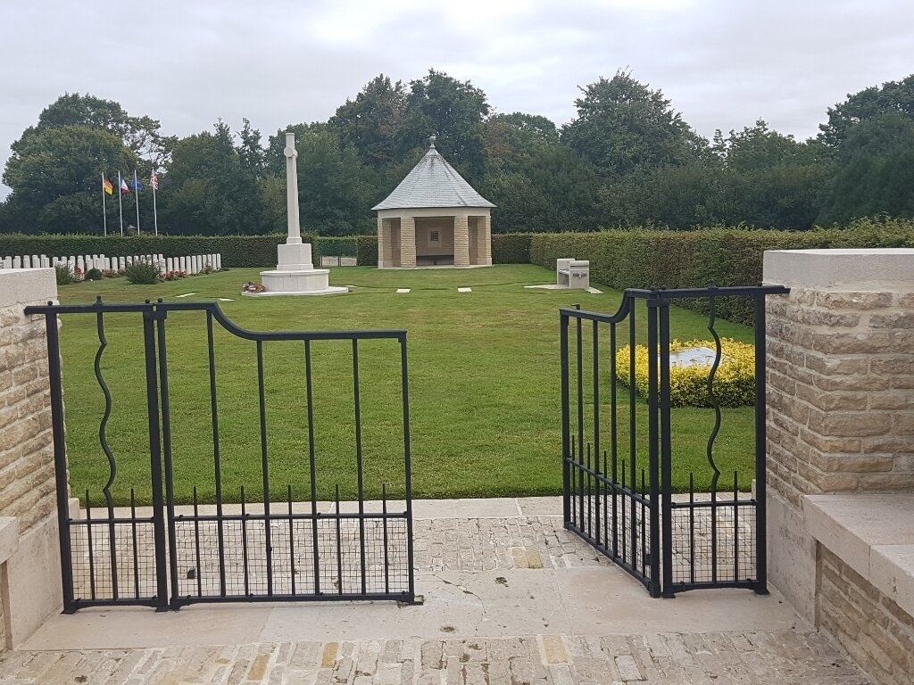
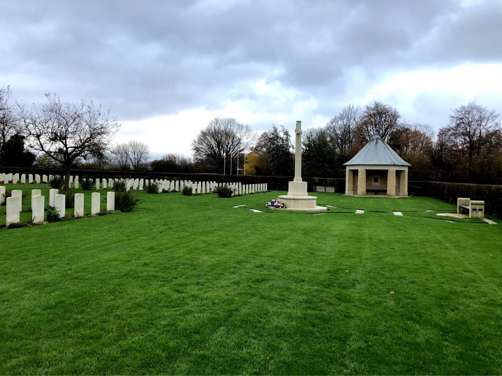
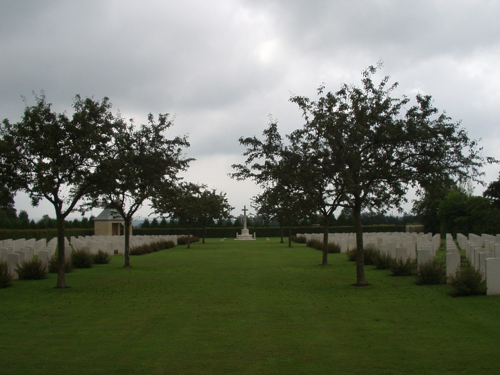
St. Desir War Cemetery
- Country France
- Total identified casualties 594 Find these casualties
- Region Calvados
- Identified casualties from First & Second World War
- GPS Coordinates Latitude: 49.13847, Longitude: 0.16305
Location information
St Desir is a village on the N13 to Caen, 4 kilometres west of Lisieux. The war cemetery is about one kilometre west of the village and lies on a secondary road, the D159.
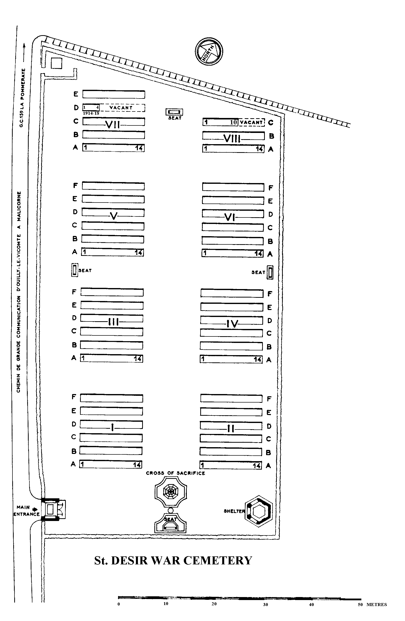
Download Cemetery Plan
History information
The Allied offensive in north-western Europe began with the Normandy landings of 6 June 1944. St Desir War Cemetery is the most easterly of the the Normandy cemeteries. For the most part, those buried here died in the final stages of the campaign, in pursuit of the German forces towards the Seine. The cemetery contains 598 Commonwealth burials of the Second World War. 78 of these graves were brought in from Chartres (St Cheron) Communal Cemetery after the war, together with the four First World War burials now at St Desir.