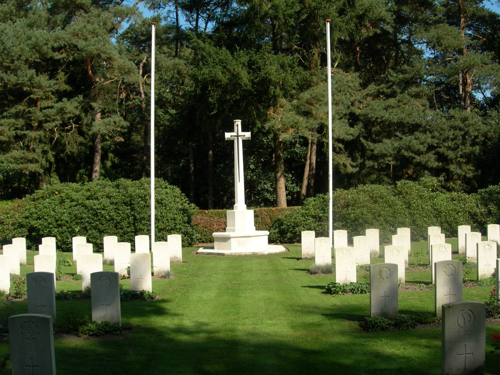
Valkenswaard War Cemetery
- Country Netherlands
- Total identified casualties 217 Find these casualties
- Region Noord-Brabant
- Identified casualties from Second World War
- GPS Coordinates Latitude: 51.31207, Longitude: 5.42575
Please note
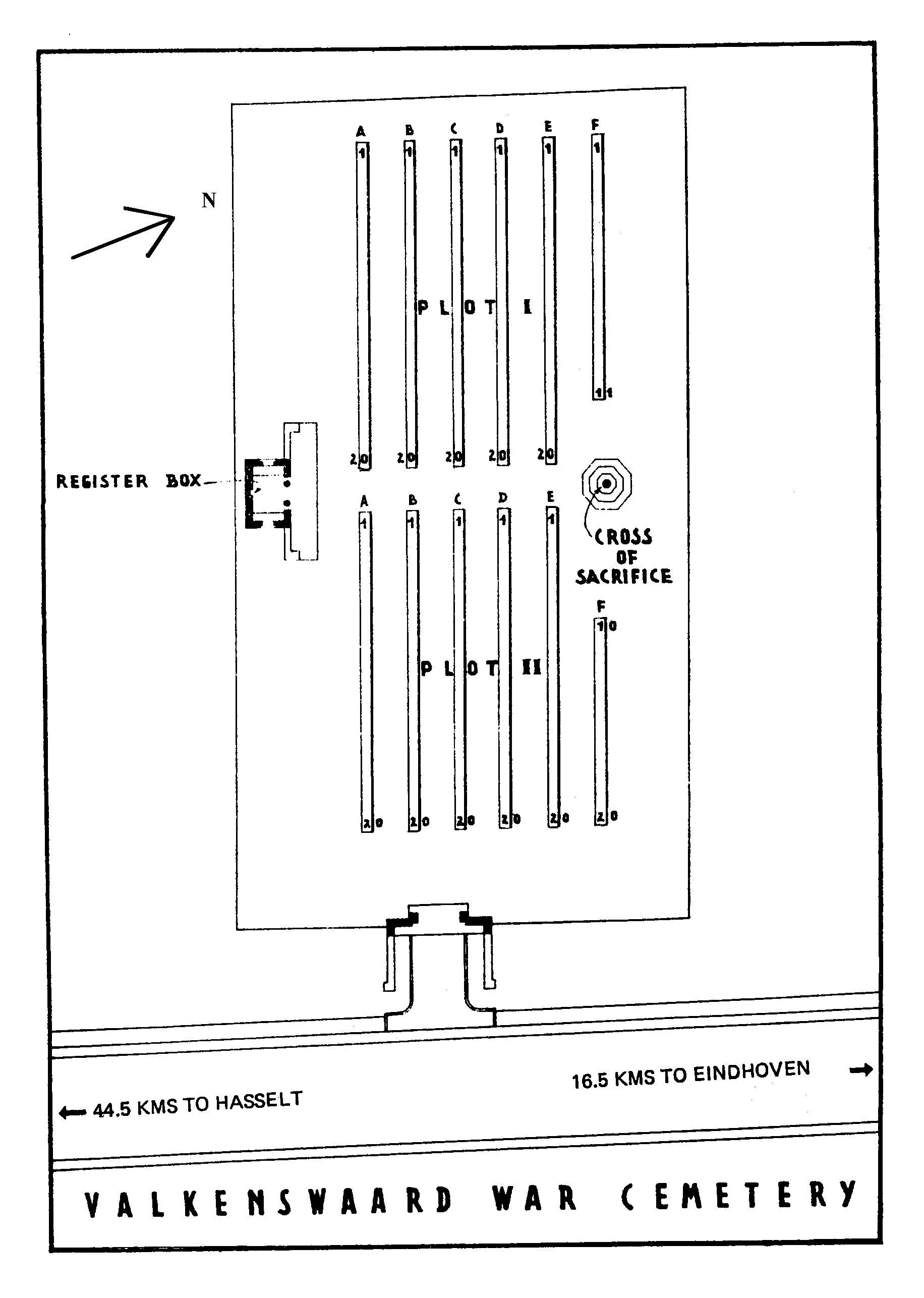
The shelter building with register box at Valkenswaard War Cemetery has been temporarily closed to the public, due to security reasons. You are welcome to visit the cemetery, but we kindly ask you to use the alternative register box and not to enter the building.
Restoration works at the cemetery will start in spring 2021.
Location information
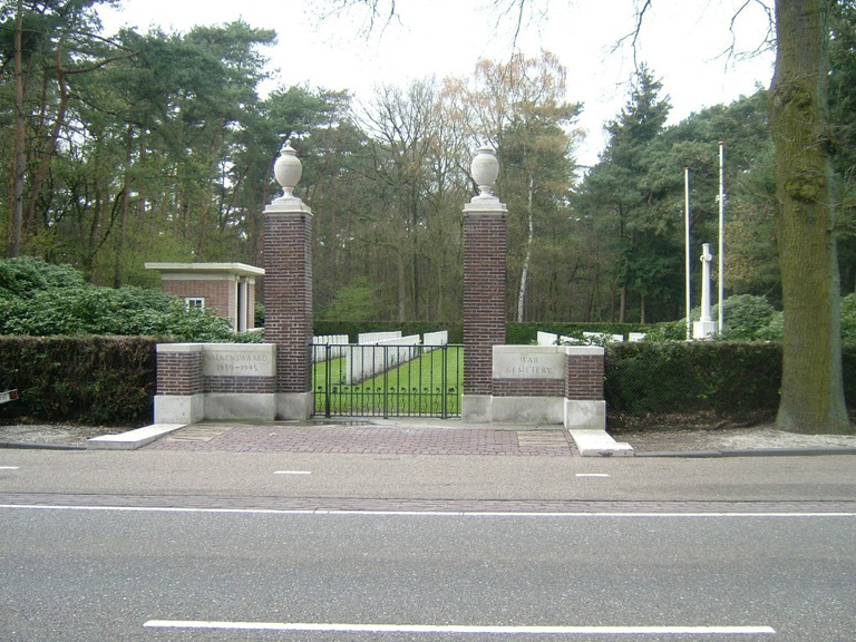
The town of Valkenswaard lies in the south of the Netherlands, approx 10kms south of Eindhoven and close to the Belgian border. From the A2 Eindhoven to Maastricht motorway take exit 33 (Afrit 33) N69 VALKENSWAARD and follow the direction VALKENSWAARD. Continue for approx 11kms, passing through the town of Valkenswaard and following signs for N69 HASSELT. The cemetery can be found on the right hand side and is signposted. The cemetery address is:- Luikerweg 5554 Valkenswaard Netherlands GPS Location is:- N 51 18 43 E 05 25 31
History information
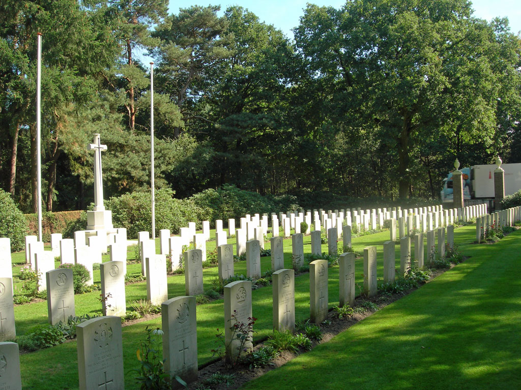
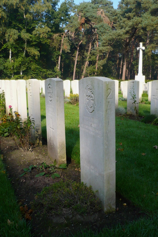
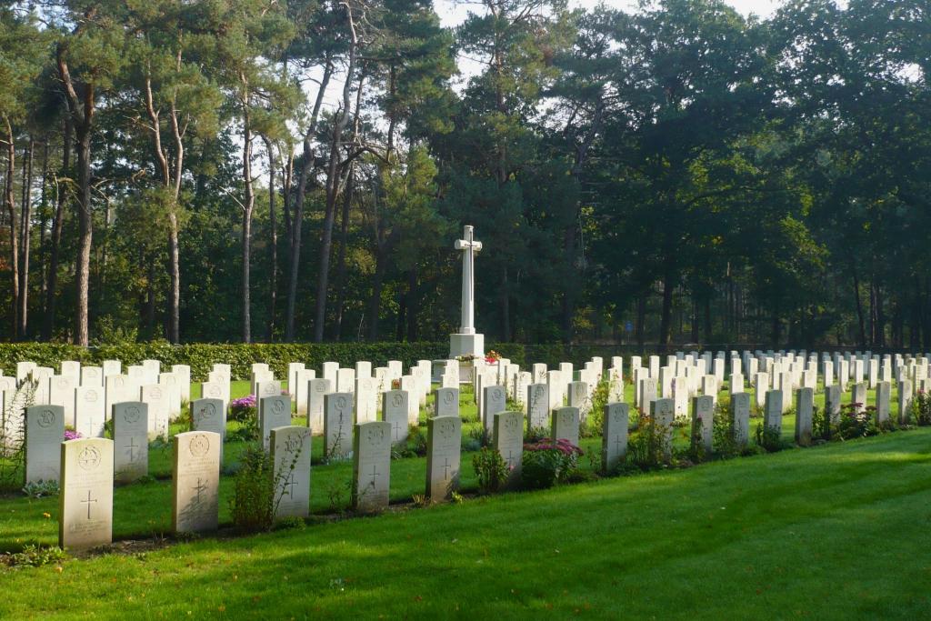
Valkenswaard was the first village to be liberated on the main line of the British advance into Holland in September 1944. The cemetery, which lies in a pinewood, contains over 220 graves, almost all of them are those of men who fell in the fighting in the woods around Valkenswaard during that month. All the men buried here belonged to the forces of the United Kingdom.