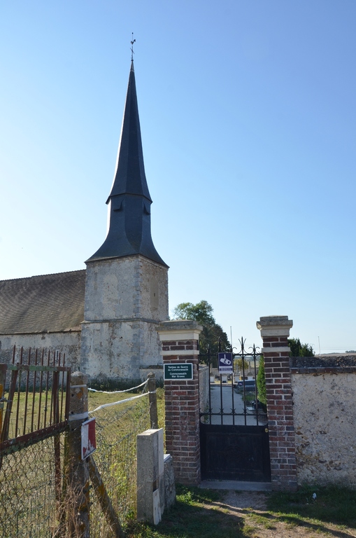
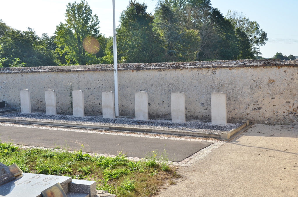
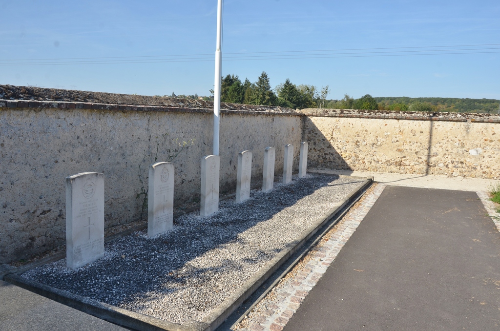
Ste. Gemme-Moronval Churchyard
- Country France
- Total identified casualties 7 Find these casualties
- Region Eure-et-Loir
- Identified casualties from Second World War
- GPS Coordinates Latitude: 48.72727, Longitude: 1.41442
Location information
The village of Ste. Gemme and the hamlet of Moronval, together forming the commune of Ste. Gemme-Moronval, lie some two miles east of Dreux. This is a town on the main road (N.12) from Paris to Western France. The churchyard is about a mile south of the village of Ste. Gemme. In the south corner are the graves of six airmen of the Royal Air Force and one airman of the Royal Australian Air Force who died during the 1939-1945 War.