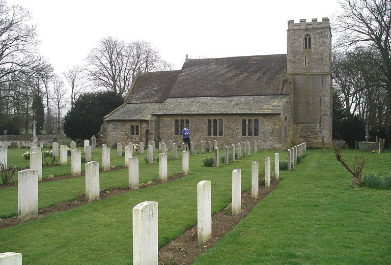
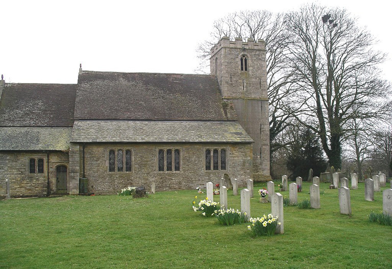
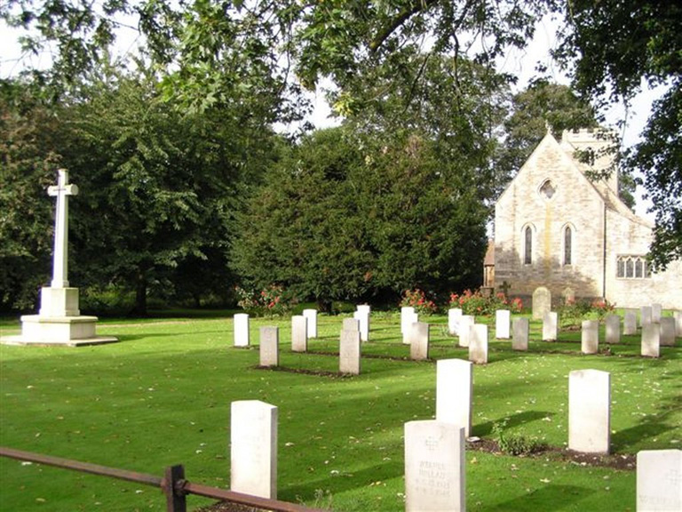
Scampton (St. John The Baptist) Churchyard
- Country United Kingdom
- Total identified casualties 73 Find these casualties
- Region Lincolnshire
- Identified casualties from Second World War
- GPS Coordinates Latitude: 53.30358, Longitude: -0.57821
Our War Graves, Your History
Discover more about the history of Scampton (St John the Baptist) Churchyard and plan a visit through our Our War Graves, Your History project.
Find out more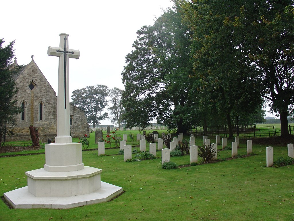
Location information
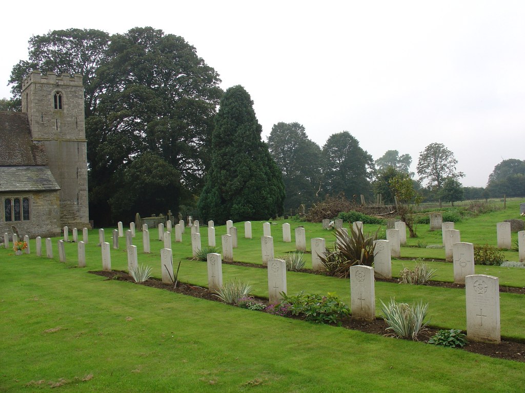
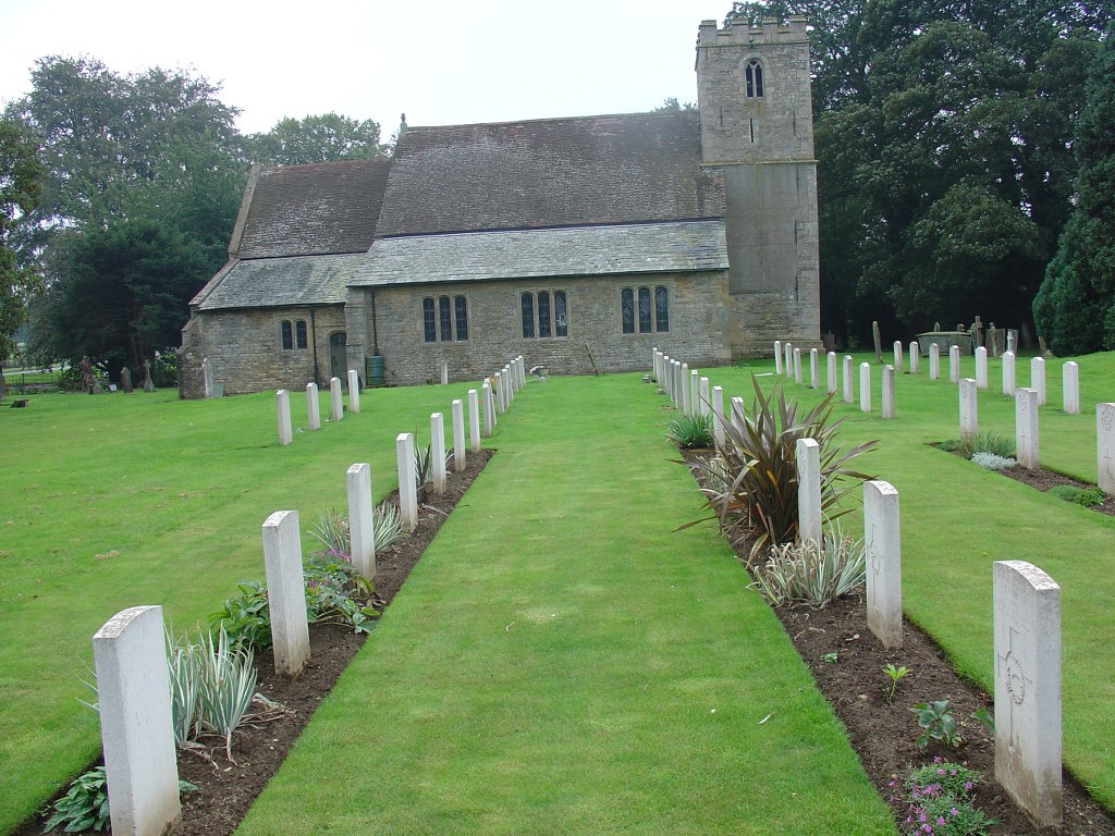
The village of Scampton is 10 kilometres north of Lincoln, and its church and churchyard are on the road to Scunthorpe.
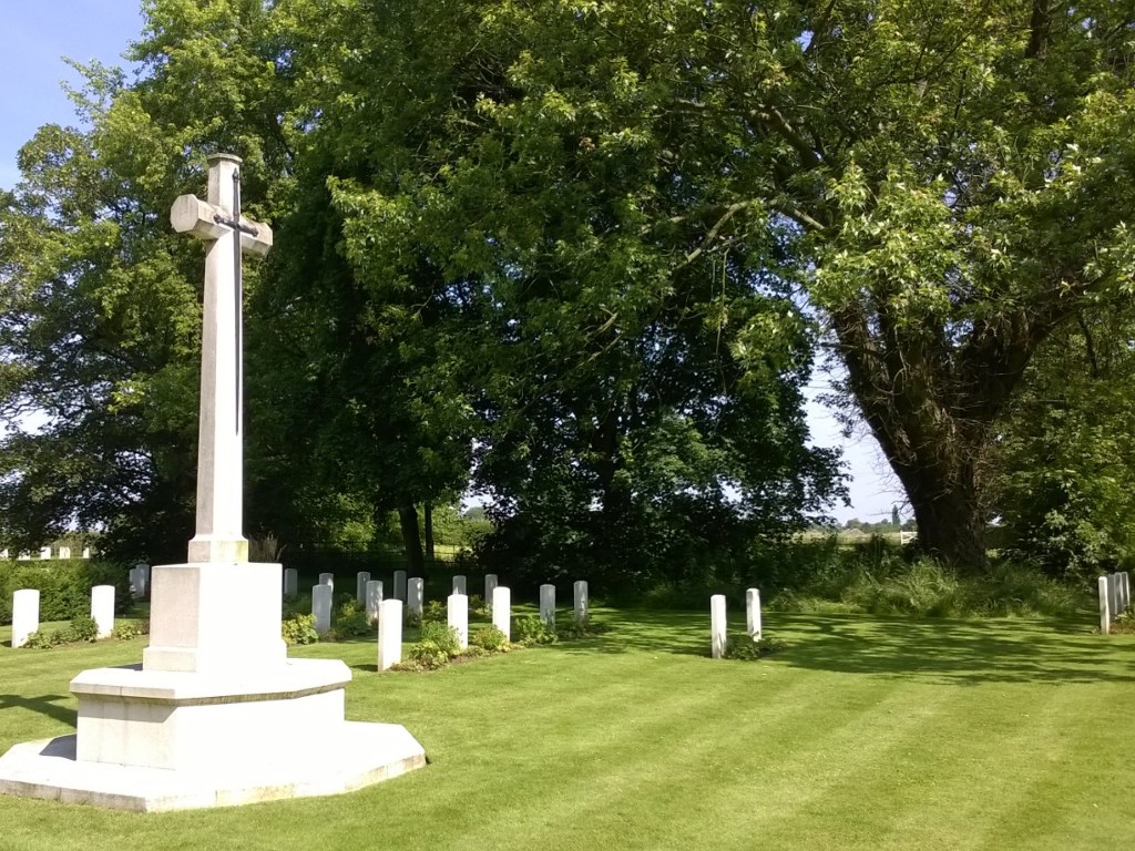
History information
During the Second World War there was a Royal Air Force Station at Scampton, and in the early months of the war a plot lying to the right of the entrance was set aside for the burial of servicemen. In 1941 it became necessary to reserve further ground for this purpose and a plot in an extension of the churchyard north of the church was used. The war graves in this burial ground are therefore in two sections and these are linked by a footpath. Scampton (St John the Baptist) Churchyard contains 64 Commonwealth burials of the Second World War and eight German war graves.