Buren General Cemetery
- Country Netherlands
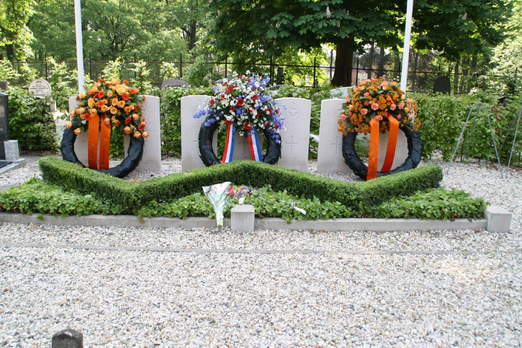
- Total identified casualties 7 Find these casualties
- Region Gelderland
- Identified casualties from Second World War
- GPS Coordinates Latitude: 51.91195, Longitude: 5.33012
Location information
The town of Buren is situated to the north-east of Tiel. From the motorway A15, which runs between Arnhem and Rotterdam, turn off at Tiel-West and follow the direction for Buren. On entering the town follow the main road through the town in the direction of Culemborg. The cemetery is along here on the left next to the park.