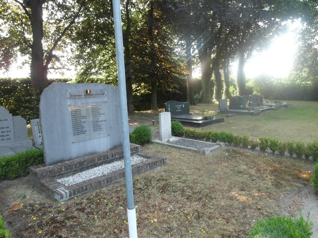
Kalmthout (Achterbroek) Communal Cemetery
- Country Belgium
- Total identified casualties 1 Find these casualties
- Region Antwerpen
- Identified casualties from Second World War
- GPS Coordinates Latitude: 51.39677, Longitude: 4.50275
Location information
The village of Achterbroek is located north of the town of Antwerp off the E19/A1 which runs between Antwerp and Breda, driving from Antwerp follow the E19 to junction 3 Brecht, at the T junction turn left direction Wuustwezel on the N133. Follow the N133 through the village to the junction with the N111 direction Kalmthout. Bear left on the N111 direction Kalmthout and follow this road to the village of Achterbroek, as you enter the village the cemetery is on the left before the village centre. The grave is located at the far left hand side from the entrance.
History information
The British Expeditionary Force was involved in the later stages of the defence of Belgium following the German invasion in May 1940, and suffered many casualties in covering the withdrawal to Dunkirk. Commonwealth forces did not return until September 1944, but in the intervening years, many airmen were shot down or crashed in raids on strategic objectives in Belgium, or while returning from missions over Germany. Kalmthout (Achterbroek) Communal Cemetery contains one Commonwealth burial of the Second World War.