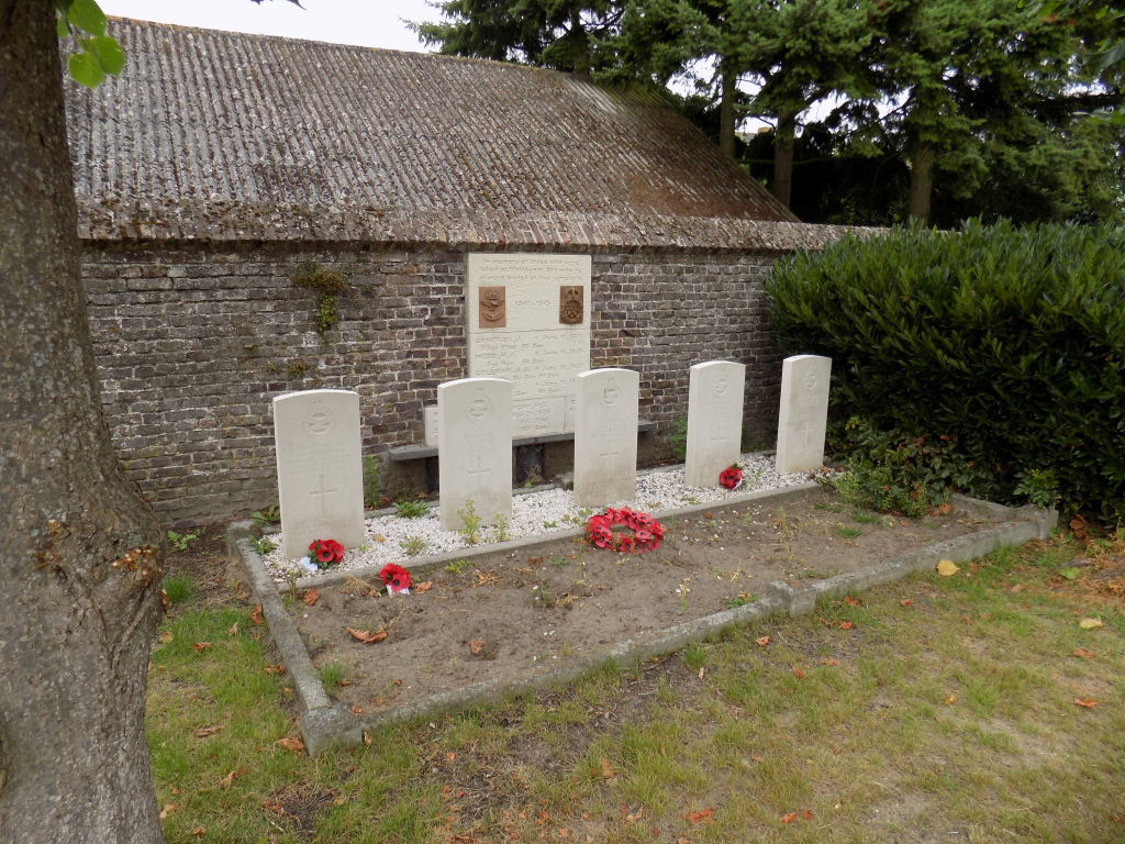
Maldegem Communal Cemetery
- Country Belgium
- Total identified casualties 5 Find these casualties
- Region Oost-Vlaanderen
- Identified casualties from Second World War
- GPS Coordinates Latitude: 51.20954, Longitude: 3.45407
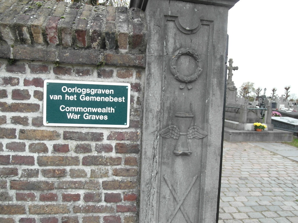

Location information
Maldegem Communal Cemetery is located midway between Brugge (16 km) and Gent (27 km), on the N9 which connects Brugge to Gent via Maldegem. From Brugge the N9 passes through Sijsele (7 km) and carries on for 9 km towards Maldegem. On reaching Maldegem the left hand turning onto the Katsweg leads for 400 metres to the cemetery itself. This cemetery is not an open site and access is limited by normal cemetery opening hours. The graves are located against the the south boundary wall behind the Belgian military plot. From the main entrance walk along the path to the Belgian Military plot then turn laft, at the wall turn right and the grave are 20m along the path on the left.
History information
The British Expeditionary Force was involved in the later stages of the defence of Belgium following the German invasion in May 1940, and suffered many casualties in covering the withdrawal to Dunkirk. Commonwealth forces did not return until September 1944, but in the intervening years, many airmen were shot down or crashed in raids on strategic objectives in Belgium, or while returning from missions over Germany. Maldegem Communal Cemetery contains the graves of five Commonwealth airmen of the Second World War.