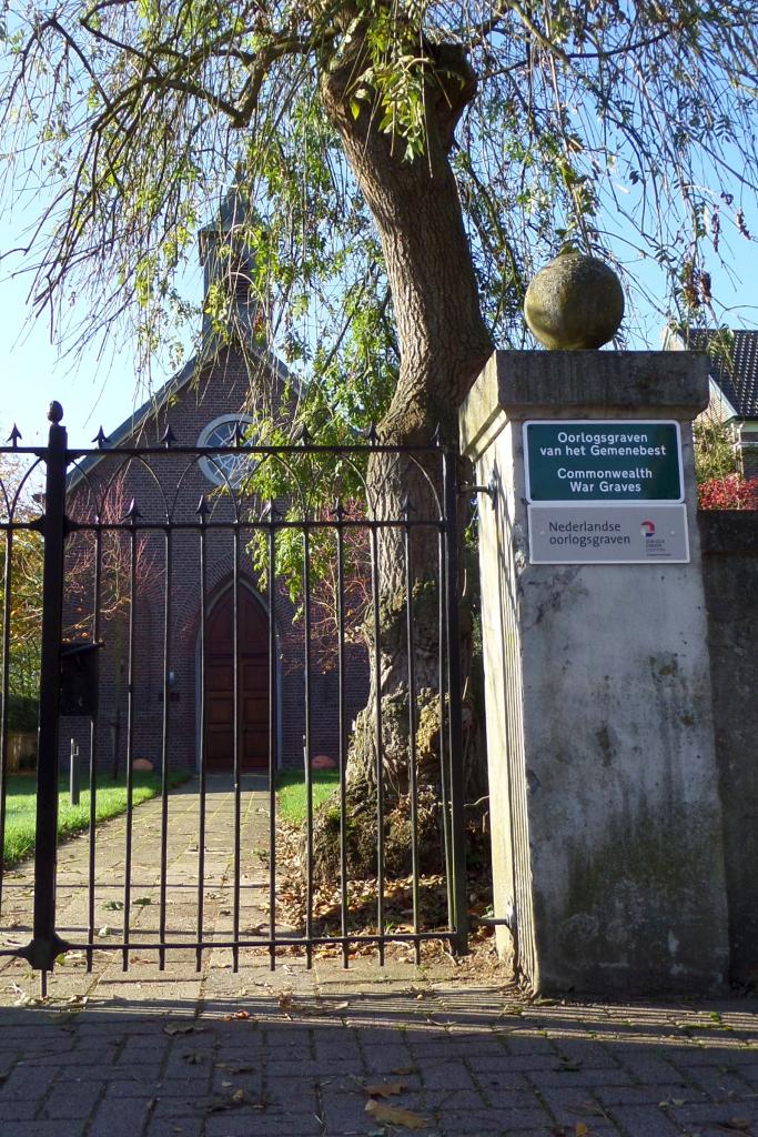
Grevenbicht Protestant Churchyard
- Country Netherlands
- Total identified casualties 2 Find these casualties
- Region Limburg (Netherlands)
- Identified casualties from Second World War
- GPS Coordinates Latitude: 51.03937, Longitude: 5.76967


Location information
Grevenbicht is a village in the Dutch province of Limburg, on the Belgian border, standing on the east bank of the River Maas, 16 kilometres north-west of the town of Sittard. The Protestant churchyard is on the south-western outskirts of the village, in the Kruistraat, and in its north-western part, against the north wall, are the graves of 2 British airmen.