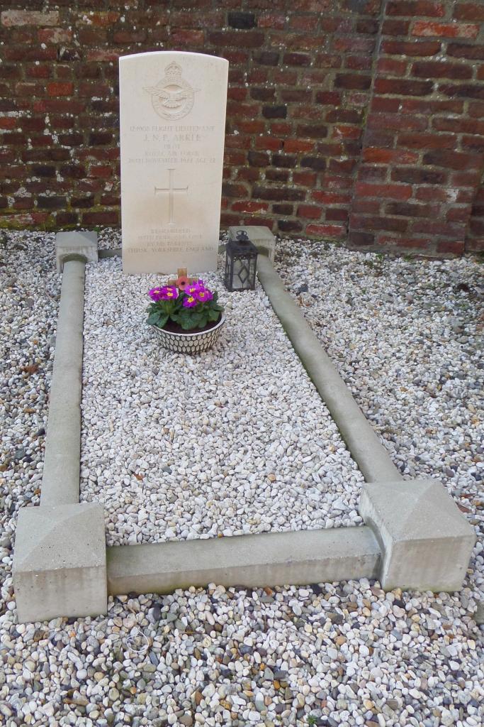
Susteren (St. Amelberga) Roman Catholic Churchyard
- Country Netherlands
- Total identified casualties 1 Find these casualties
- Region Limburg (Netherlands)
- Identified casualties from Second World War
- GPS Coordinates Latitude: 51.06104, Longitude: 5.85058

Location information
The village of Susteren is nearly 8 kilometres north of Sittard. In the centre of the village, 150 metres east of the main road to Roermond, stands the parish church of St. Amelberga; at the entrance to the churchyard (not to be confused with another Roman Catholic churchyard in the village) is the grave of 1 British airman.