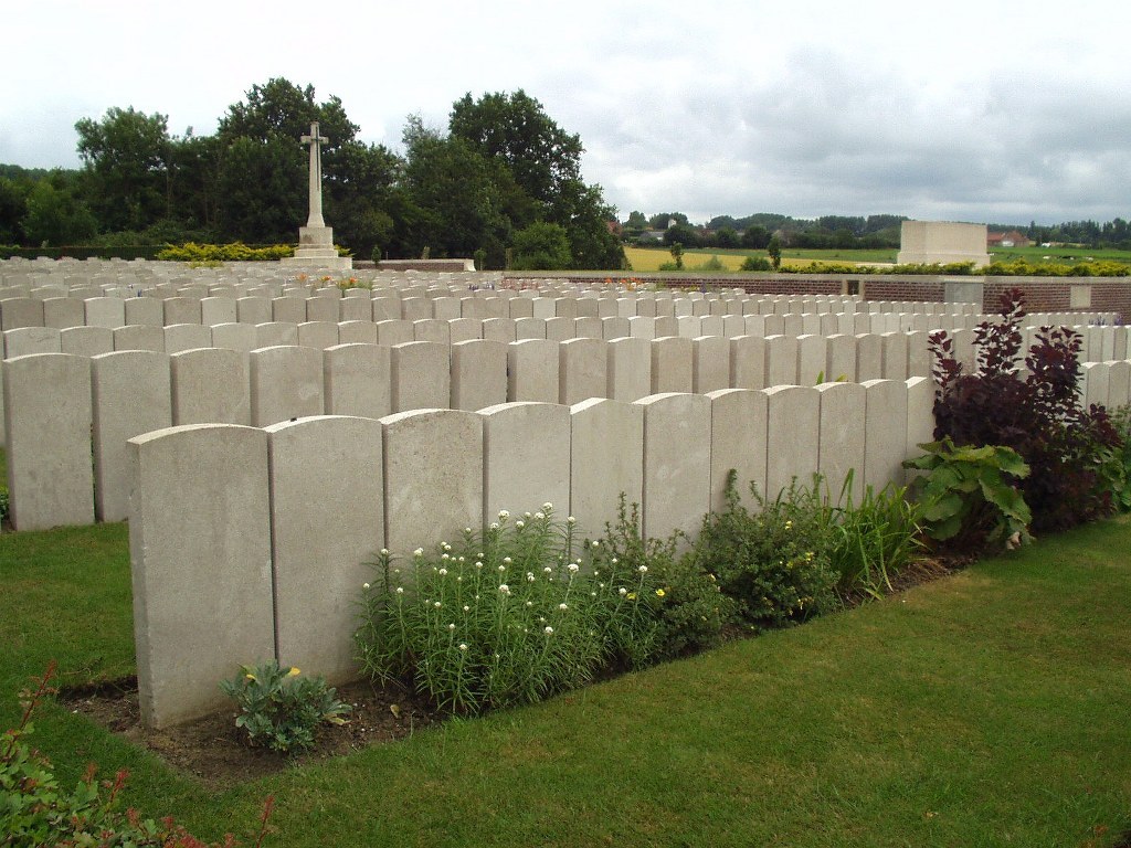
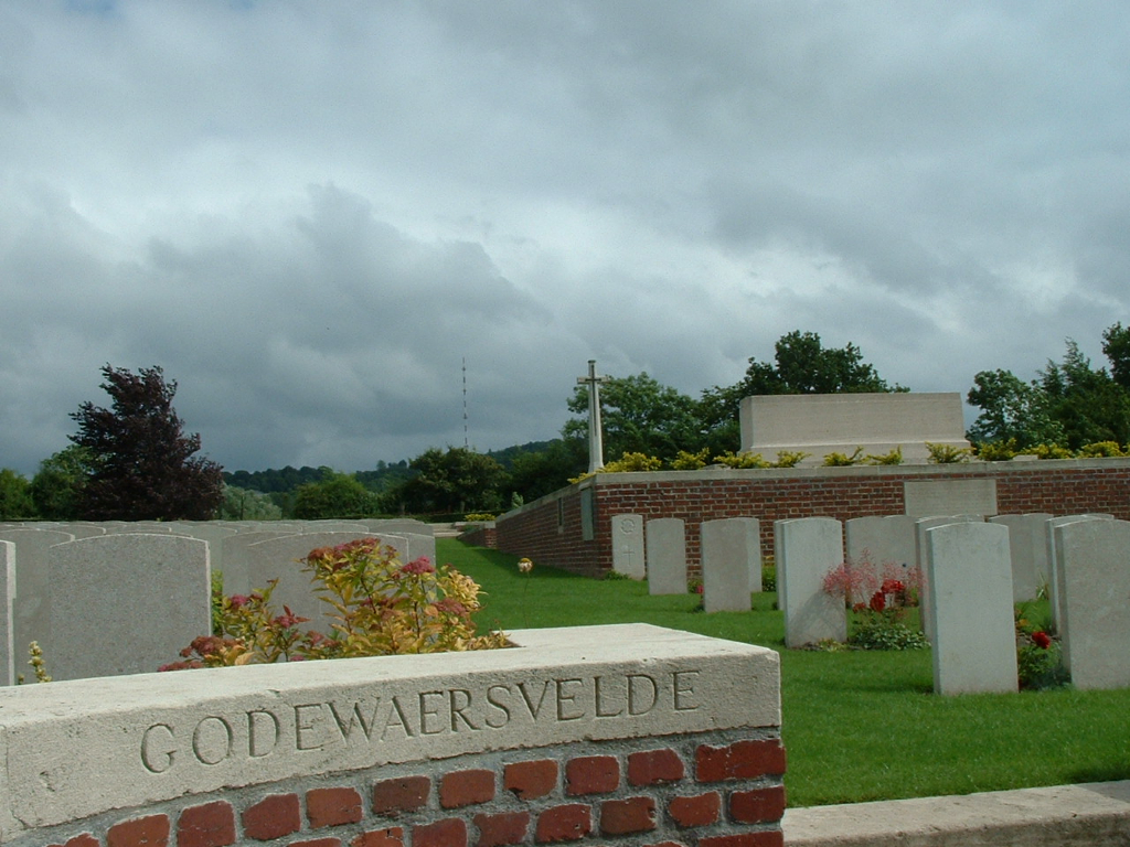
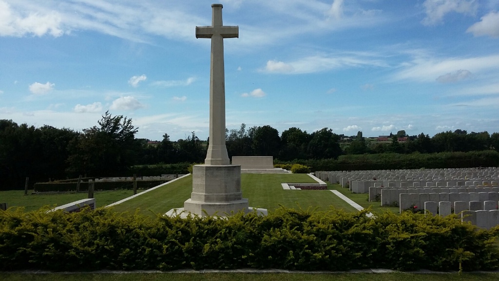
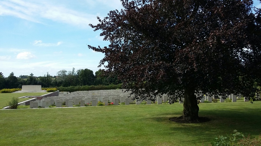
Godewaersvelde British Cemetery
- Country France
- Total identified casualties 991 Find these casualties
- Region Nord
- Identified casualties from First World War
- GPS Coordinates Latitude: 50.79601, Longitude: 2.65207
Location information
Godewaersvelde is a village near the Belgian border, about 16 kilometres south-west of Ieper (in Belgium), and is half-way between Poperinge (in Belgium) and Hazebrouck (in France). The British Cemetery is a little east of the village.
Visiting information
Wheelchair access to this cemtery is possible with some difficulty. For further information regarding wheelchair access, please contact our Enquiries Section on telephone number 01628 507200.
History information
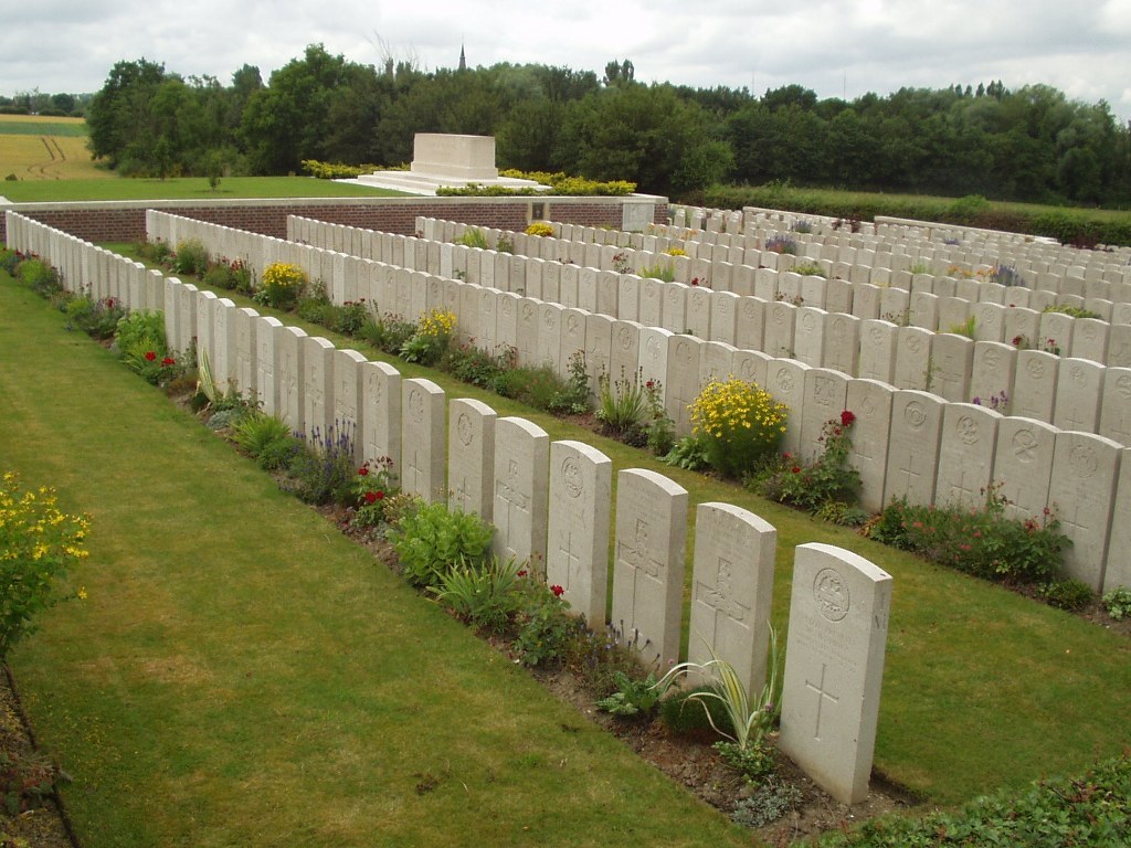
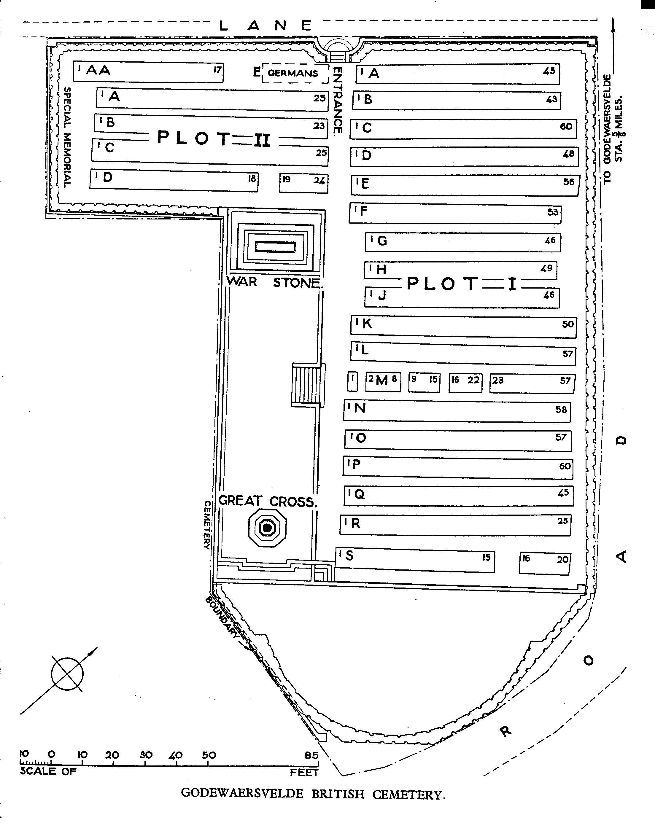
The cemetery was begun in July 1917 when three casualty clearing stations were moved to Godewaersvelde. The 37th and the 41st buried in it until November 1917, the 11th until April 1918, and from April to August 1918, during the German offensive in Flanders, field ambulance and fighting units carried on the burials. After the Armistice, the graves of five soldiers of the 110th Brigade, Royal Field Artillery were brought in from a point nearer the Mont des Cats and in May 1953, four graves in Godewaersvelde Churchyard were moved into the cemetery. A considerable French plot was made on the terrace at the higher end of the cemetery in May and June 1918, but these graves were later removed. Godewaersvelde British Cemetery now contains 972 Commonwealth burials of the First World War, and 19 German war graves. The cemetery was designed by Sir Herbert Baker.