St. Andre Communal Cemetery
- Country France
- Total identified casualties 178 Find these casualties
- Region Nord
- Identified casualties from First & Second World War
- GPS Coordinates Latitude: 50.66814, Longitude: 3.05245
Location information
St. Andre is a commune in the Department of the Nord adjoining the north side of the city of Lille. From the directions of Calais/Dunkerque, come off the A.25 autoroute at Junction 7 and follow direction of Lamme. Come off at Junction 9 for St. Andre and follow signs for St. Andre until on the D949. Continue along this road until into St. Andre centre. Turn left at the Fire Station along the D.48 toward La Madeleine and follow this road for approximately 400 metres. Turn left just before the level crossing and follow road for 200 metres, then turn first right and follow road round to entrance of cemetery.
Visiting information
The register is available in the Mairie from Monday to Friday from 9.00 to 12.00 Wednesday from 13.15 to 17.15 and Saturday from 9.30 to 12.00
History information
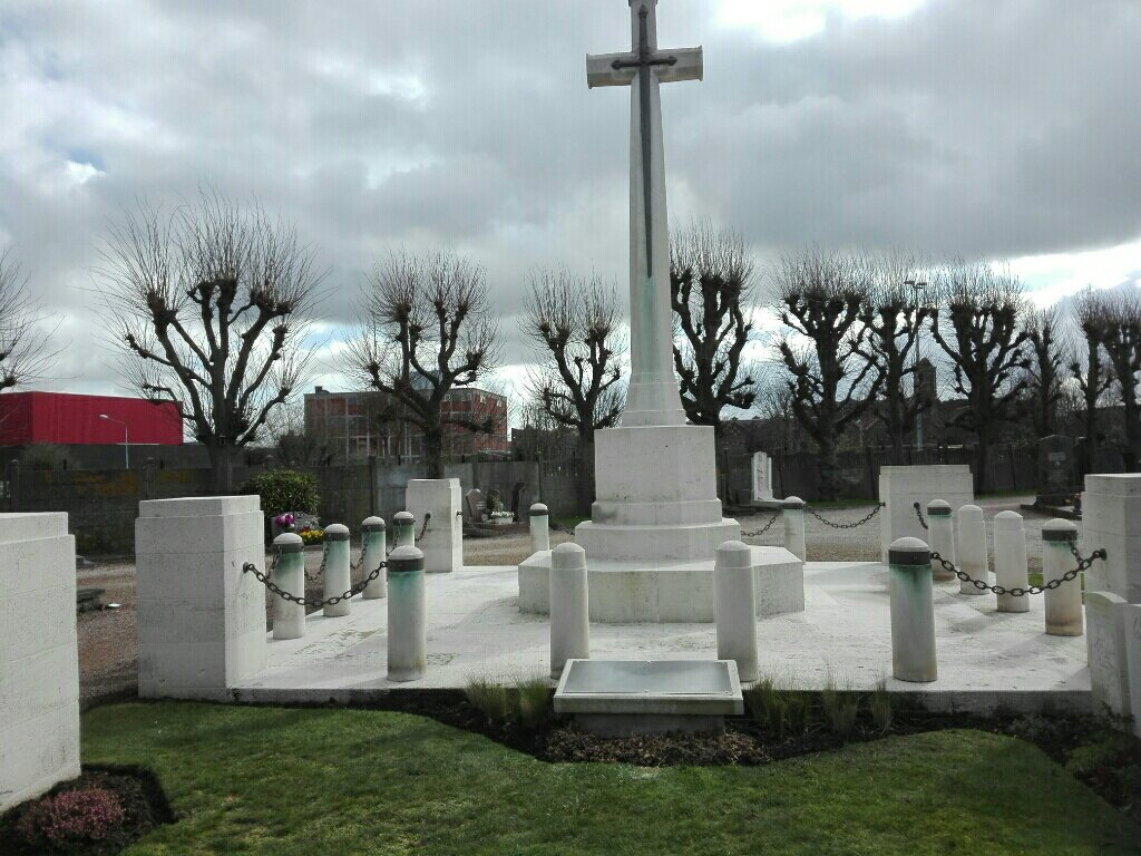
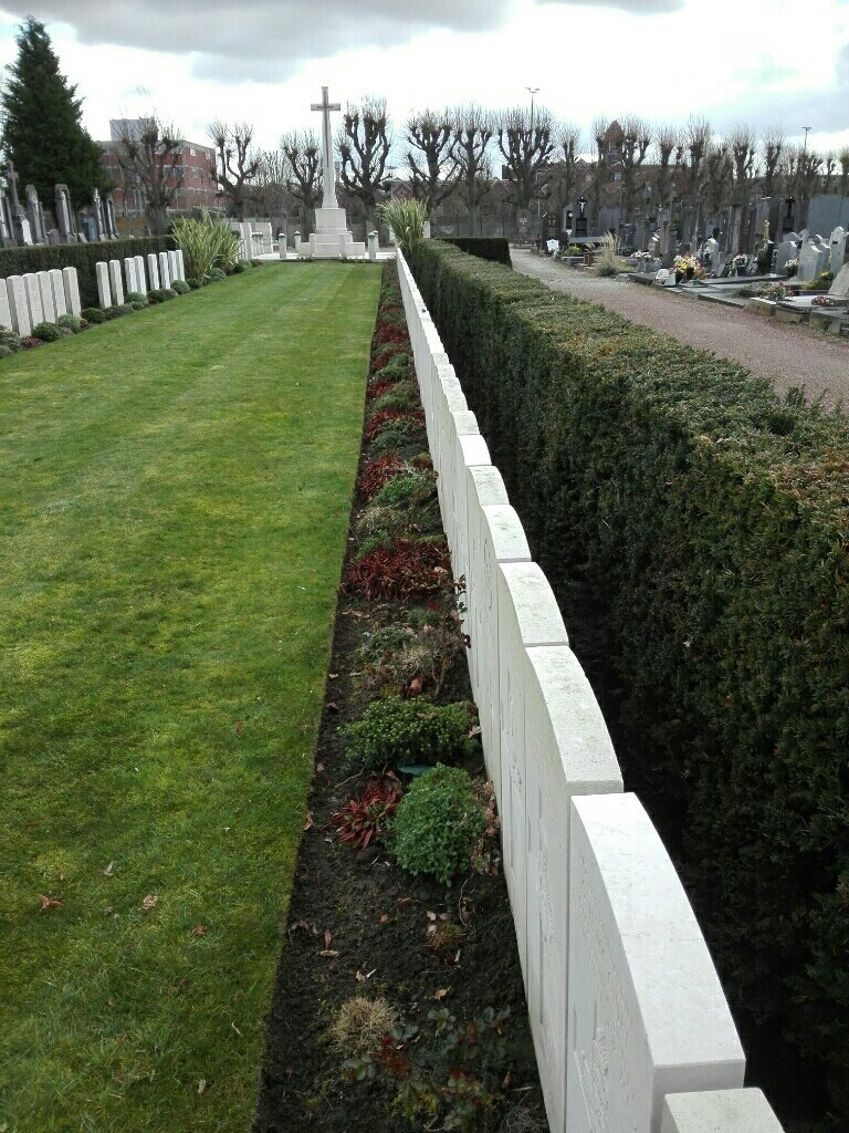
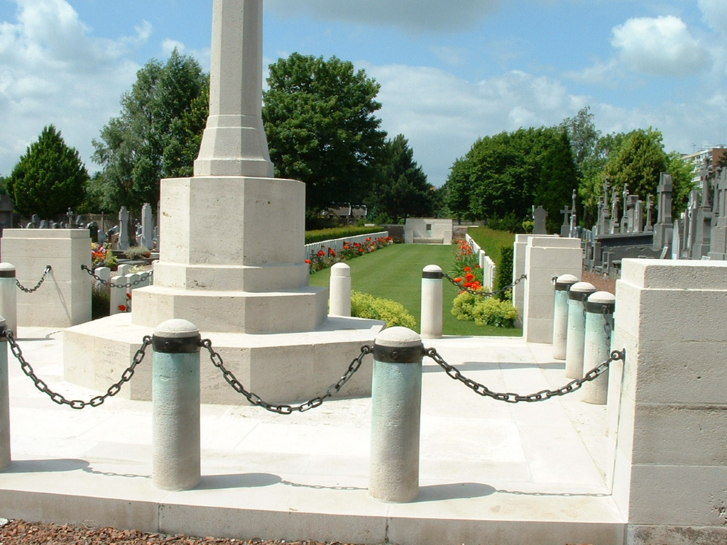
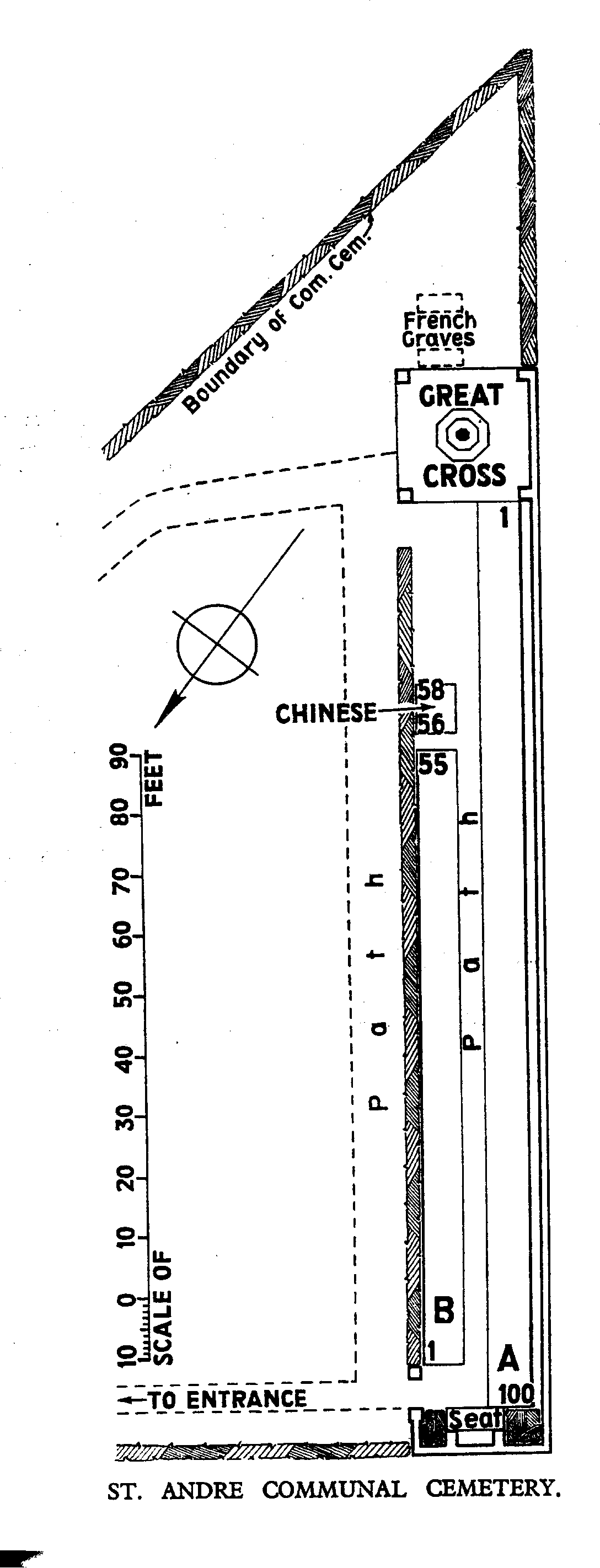
The Communal Cemetery was used by German hospitals during the greater part of the War and by No.11 Casualty Clearing Station after the British occupation of Lille. There are now over 150, 1914-18 and over 20, 1939-45 war casualties commemorated in this site. The cemetery covers an area of 478 square metres.