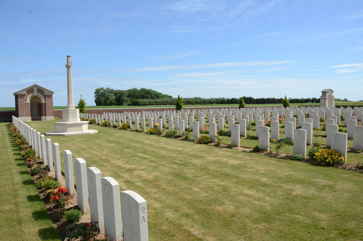
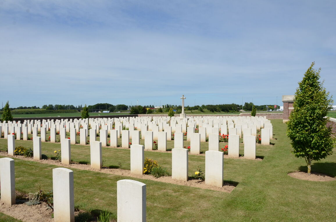
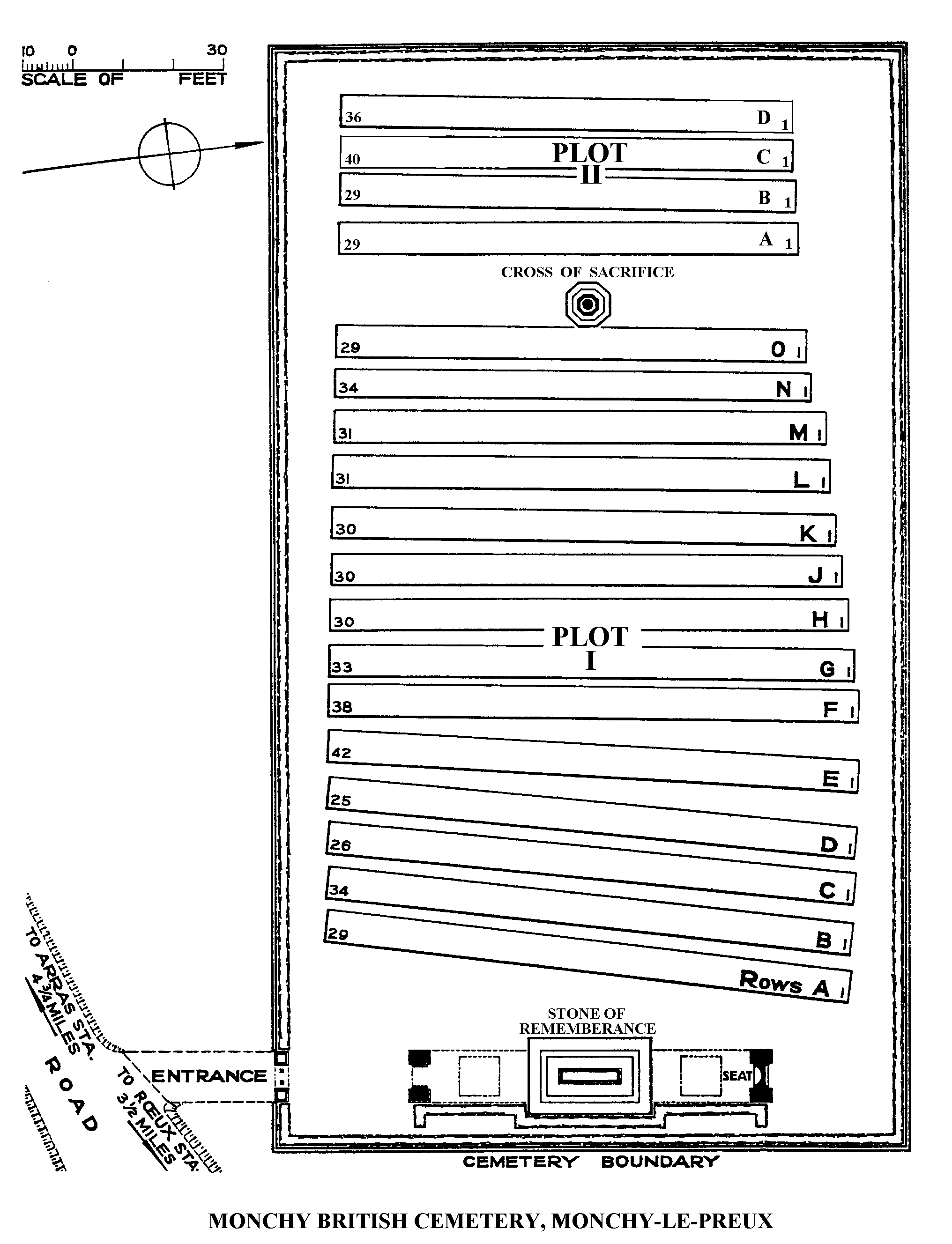
Monchy British Cemetery, Monchy-Le-Preux
- Country France
- Total identified casualties 523 Find these casualties
- Region Pas de Calais
- Identified casualties from First World War
- GPS Coordinates Latitude: 50.27245, Longitude: 2.87537
PLEASE NOTE
This cemetery serves as a training ground for our teams of masons and stonemasons. They may work in the cemetery on the surrounding walls to practise their skills. The site will remain open and accessible during this time.
Location information
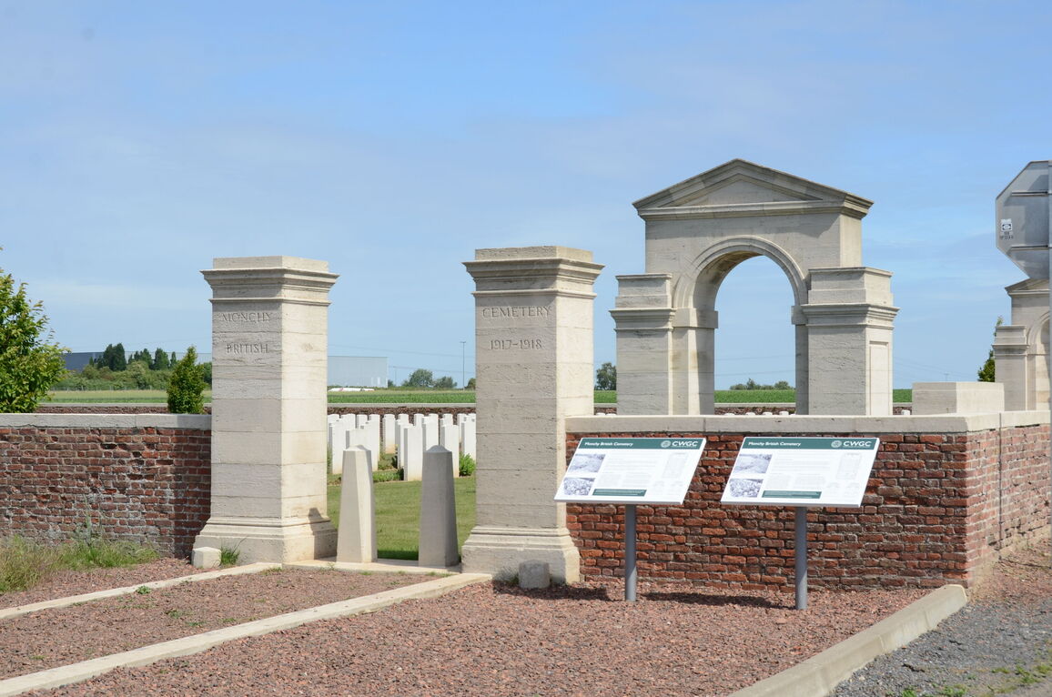
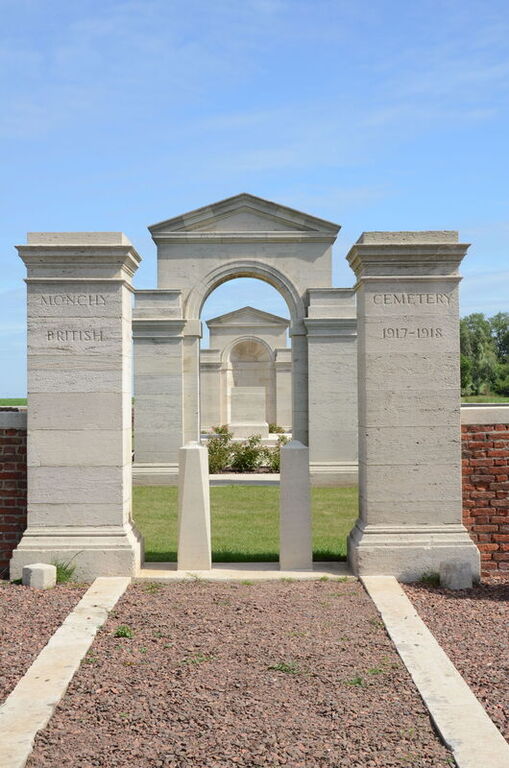
Monchy-le-Preux is a village in the department of the Pas-de-Calais on the north side of the main road (D33) from Arras to Cambrai. Monchy British Cemetery is nearly 2 kilometres west of the village down a 1 kilometre track.
History information
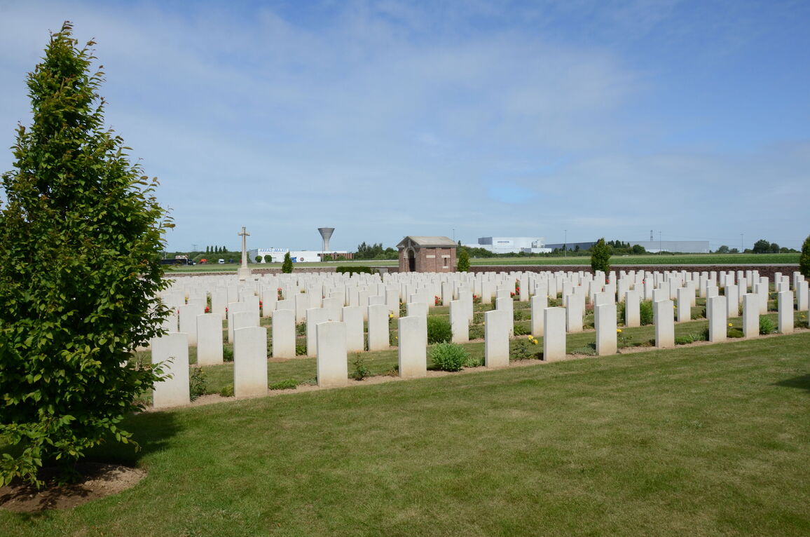
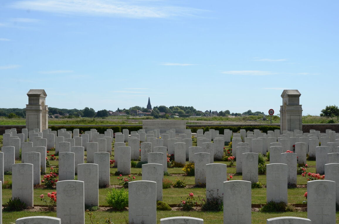
Monchy village, a relatively high and commanding position, was captured by Commonwealth forces on 11 April 1917. The cemetery was begun at once and continued in use as a front-line cemetery until the German offensive of March 1918, when it fell into their hands. It was recaptured by the Canadian Corps on 26 August and used again for a month. The graves are very closely identified with the divisions which fought on this front, for example the 37th, 12th (Eastern), 4th and 15th (Scottish) Divisions.
There are now 581 Commonwealth servicemen of the First World War buried or commemorated in this cemetery. 58 of the burials are unidentified but there are special memorials to a number of casualties known to be buried among them.
The cemetery was designed by Sir Edwin Lutyens.