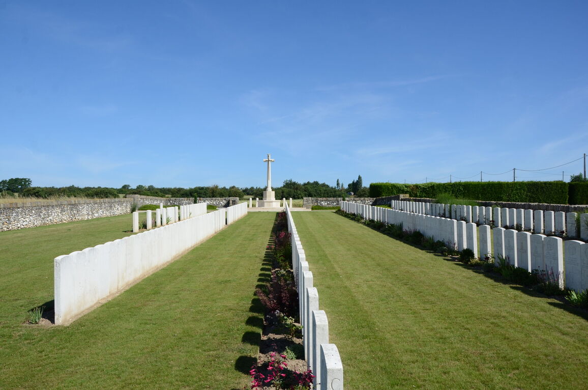
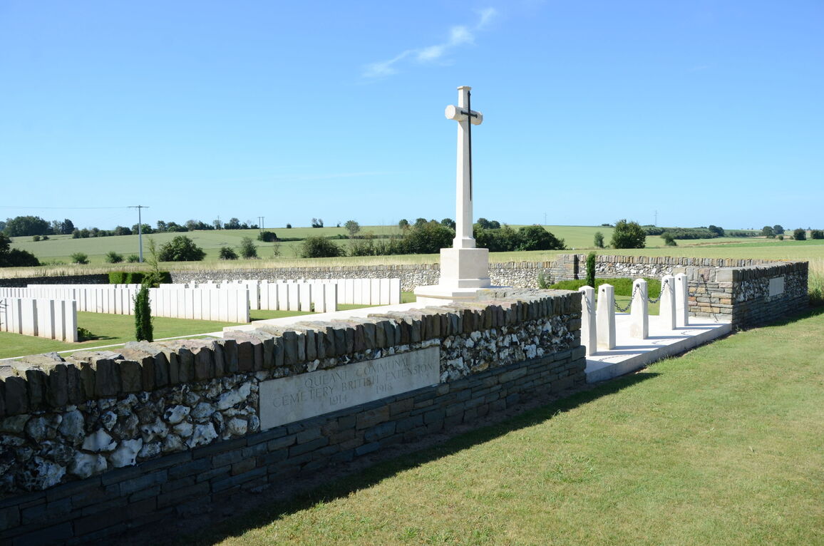
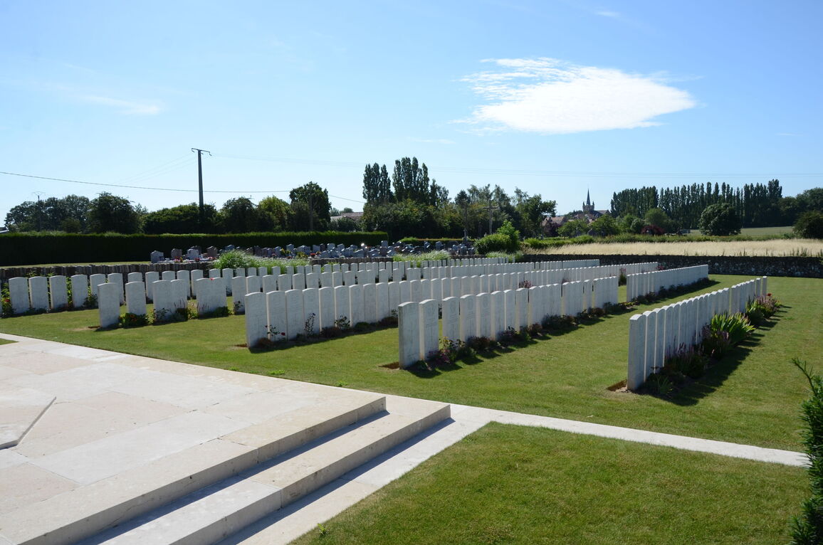
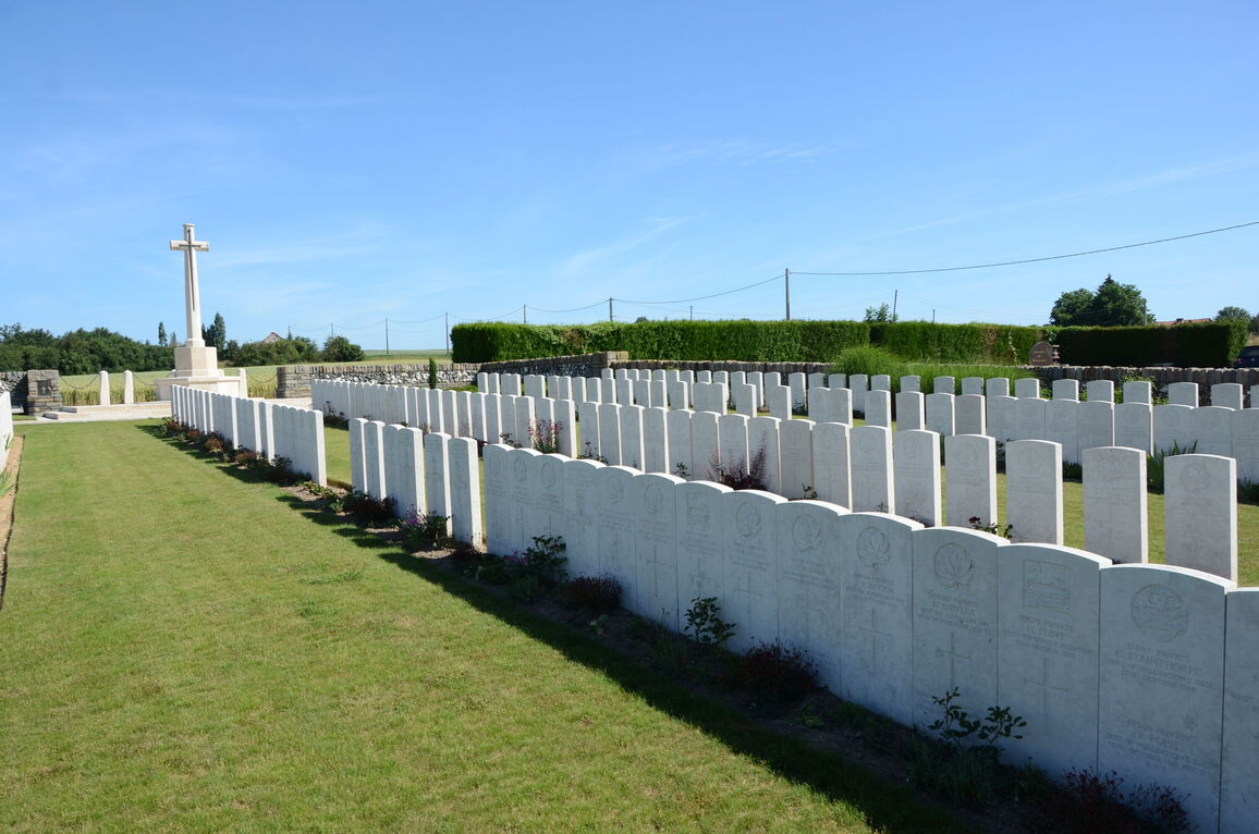
Queant Communal Cemetery British Extension
- Country France
- Total identified casualties 270 Find these casualties
- Region Pas de Calais
- Identified casualties from First World War
- GPS Coordinates Latitude: 50.18216, Longitude: 2.9765
Location information
Queant is a village on the D14 road 25 kilometres south-east of Arras. The Cemetery is on the western outskirts of the village on the D38 road to Riencourt-les-Cagnicourt.
Visiting information
The location or design of this site makes wheelchair access impossible. For further information regarding wheelchair access, please contact our Enquiries Section on 01628 507200.
History information
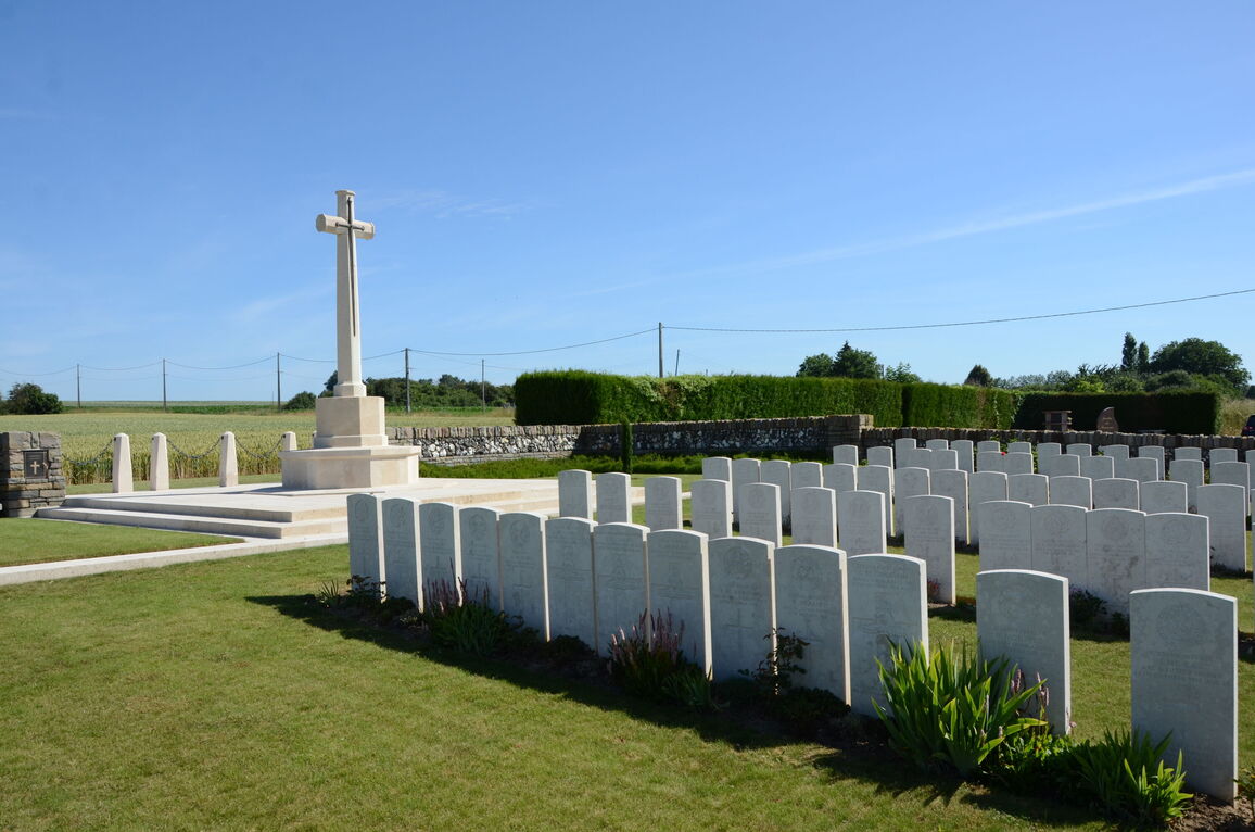
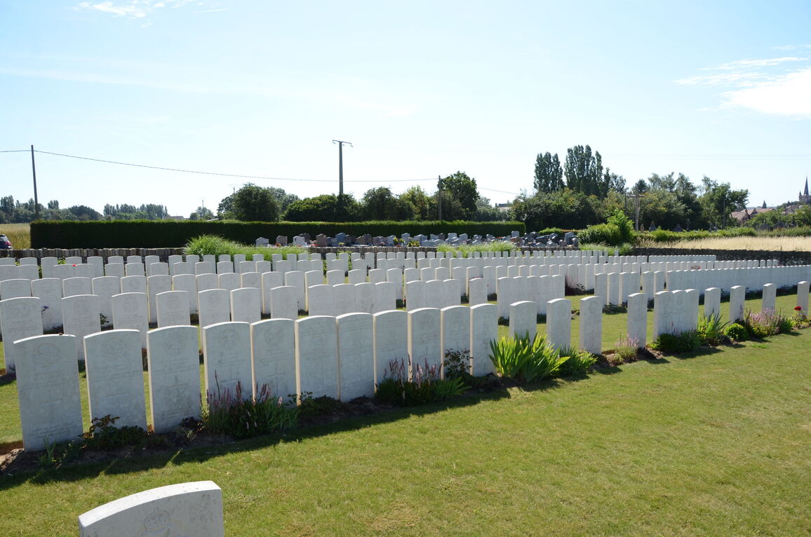
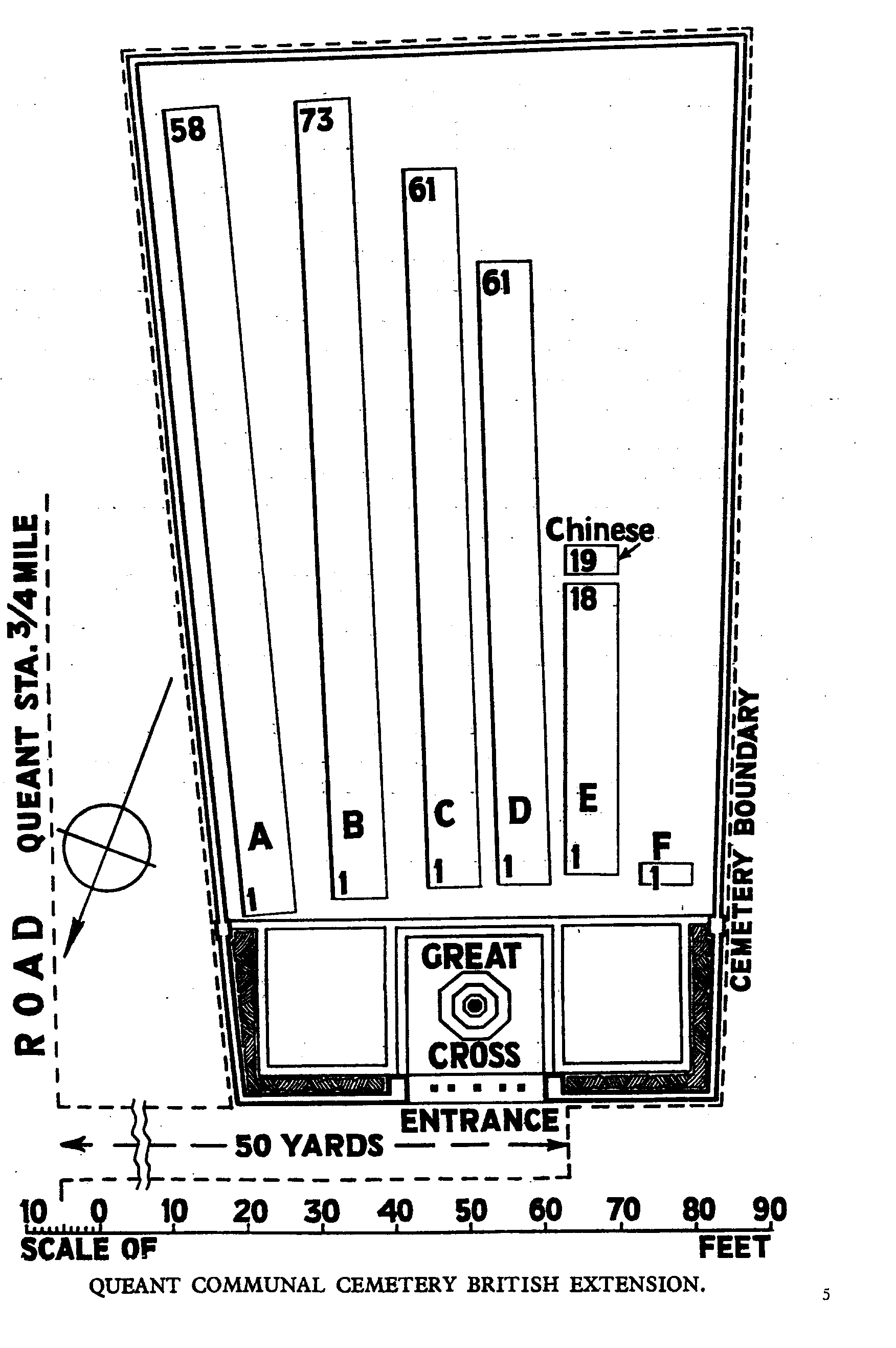
Queant was close behind the Hindenburg Line, at the South end of a minor defence system known as the Drocourt-Queant Line, and it was not captured by British troops until the 2nd September 1918. On the North side of the Communal Cemetery was a German Extension of nearly 600 graves (1916-1918), now removed; and the British Extension was made by fighting units, on the far side of the German Extension, in September and October 1918. There are now nearly 300, 1914-18 war casualties commemorated in this site. Of these, a small number are unidentified. The cemetery covers an area of 1,011 square metres and is enclosed by a flint and rubble wall.