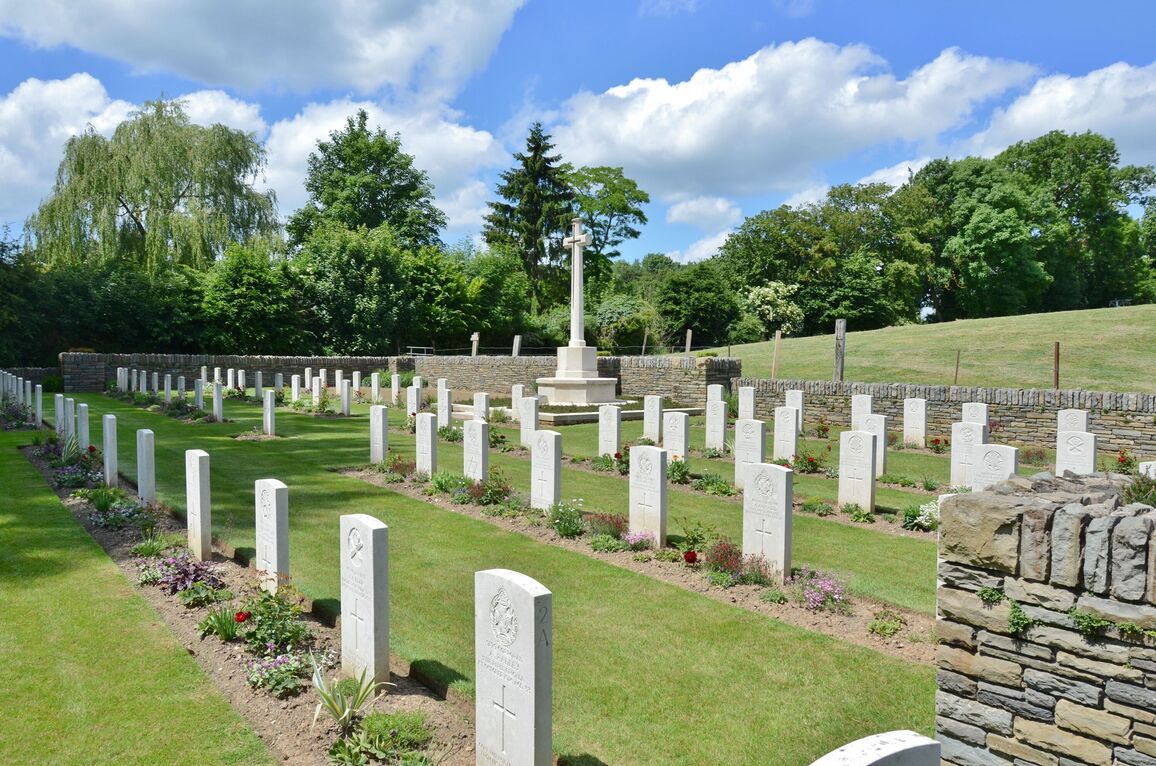
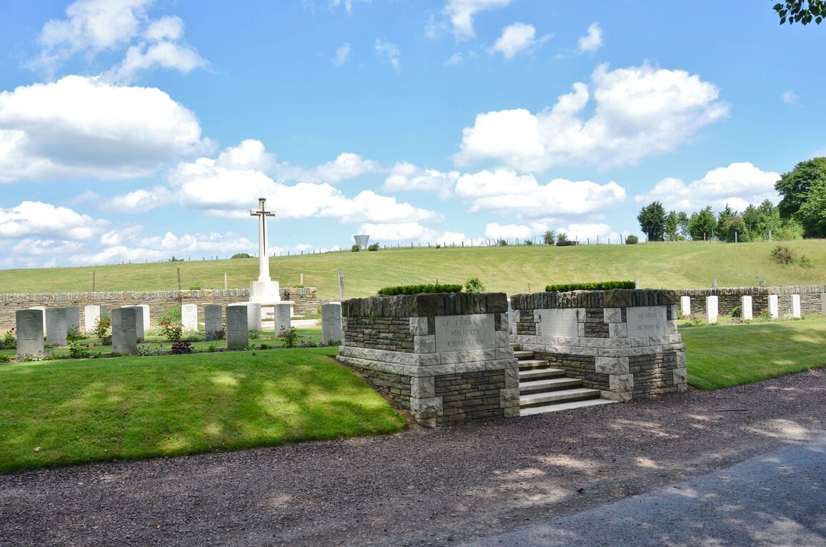
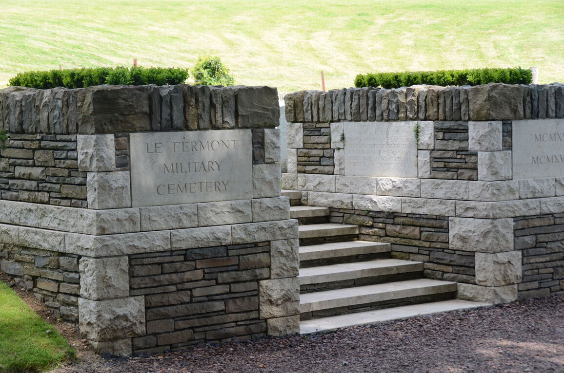
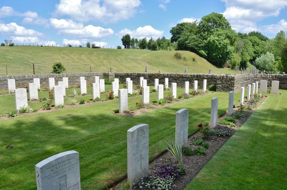
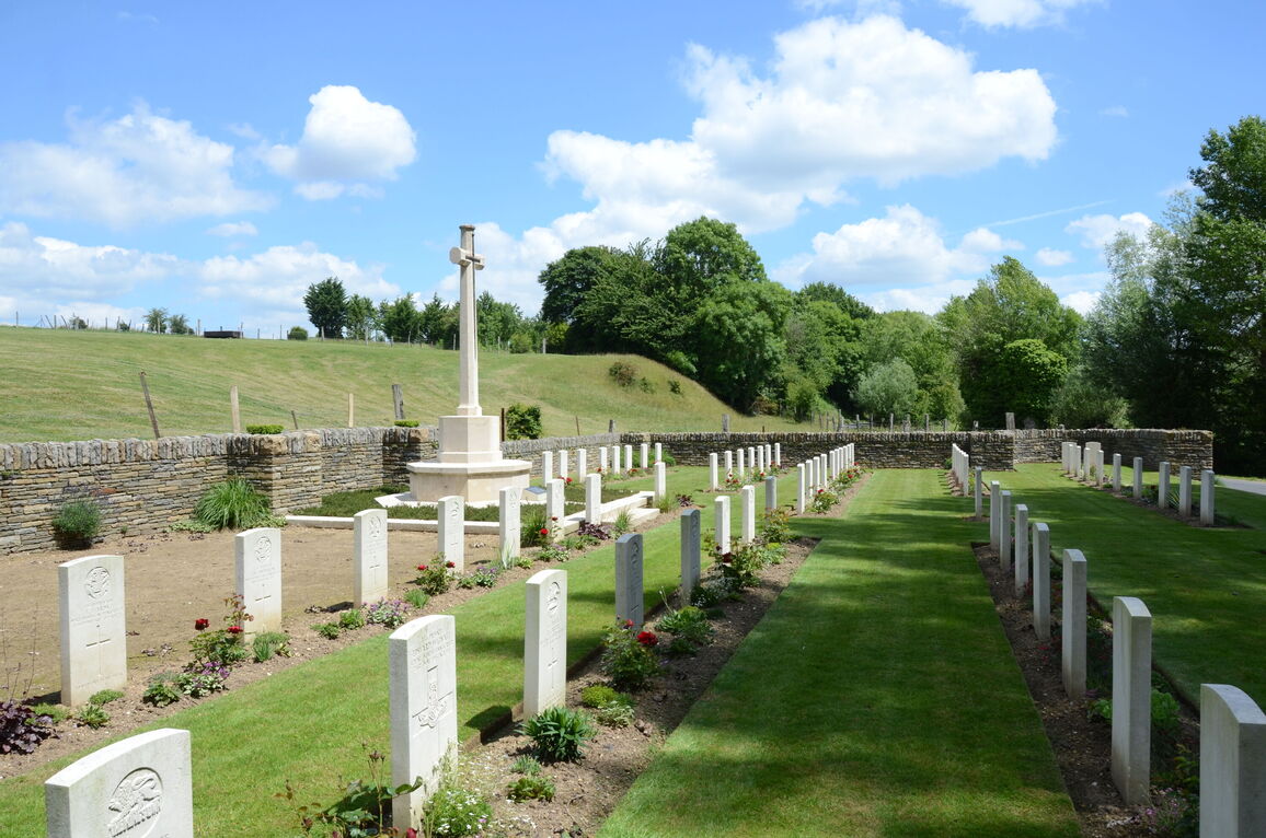
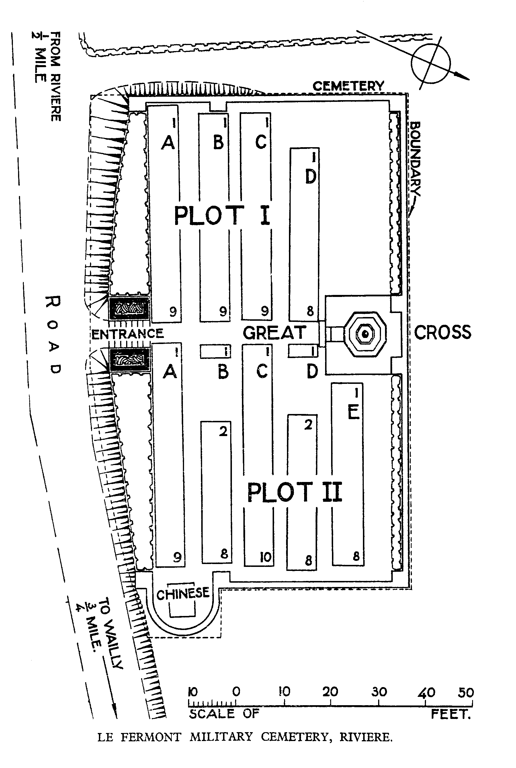
Le Fermont Military Cemetery, Riviere
- Country France
- Total identified casualties 81 Find these casualties
- Region Pas de Calais
- Identified casualties from First World War
- GPS Coordinates Latitude: 50.24017, Longitude: 2.70459
Location information
Riviere is a village in the Department of the Pas de Calais 10 kilometres south-west of Arras. Visitors should take the D3 to Wailly from Arras, then follow the signs for Riviere. A CWGC sign indicates the minor road which leads to the cemetery.
Visiting information
The location or design of this site makes wheelchair access very difficult. For further information regarding wheelchair access, please contact our Enquiries Section on enquiries@cwgc.org or 01628 507200.
The register is available in the Mairie from Monday Tuesday Thursday Friday from 8.30 to 12.30 and 13.30 to 16.30
Saturday from 8.30 to 12.30
History information
This front line cemetery was begun by the 55th (West Lancashire) Division in March 1916 and closed in March 1917, except for one burial in March 1918.
Le Fermont Military Cemetery contains 80 First World War burials.
The cemetery was designed by W H Cowlishaw.