Noeux-Les-Mines Communal Cemetery
- Country France
- Total identified casualties 983 Find these casualties
- Region Pas de Calais
- Identified casualties from First World War
- GPS Coordinates Latitude: 50.48303, Longitude: 2.66873
Location information
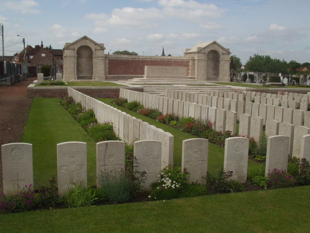
Noeux-les-Mines is a town 6 kilometres south of Bethune on the main road to Arras. The Communal Cemetery is on the northern side of the town, on the south-east side of the road to Labourse.
History information
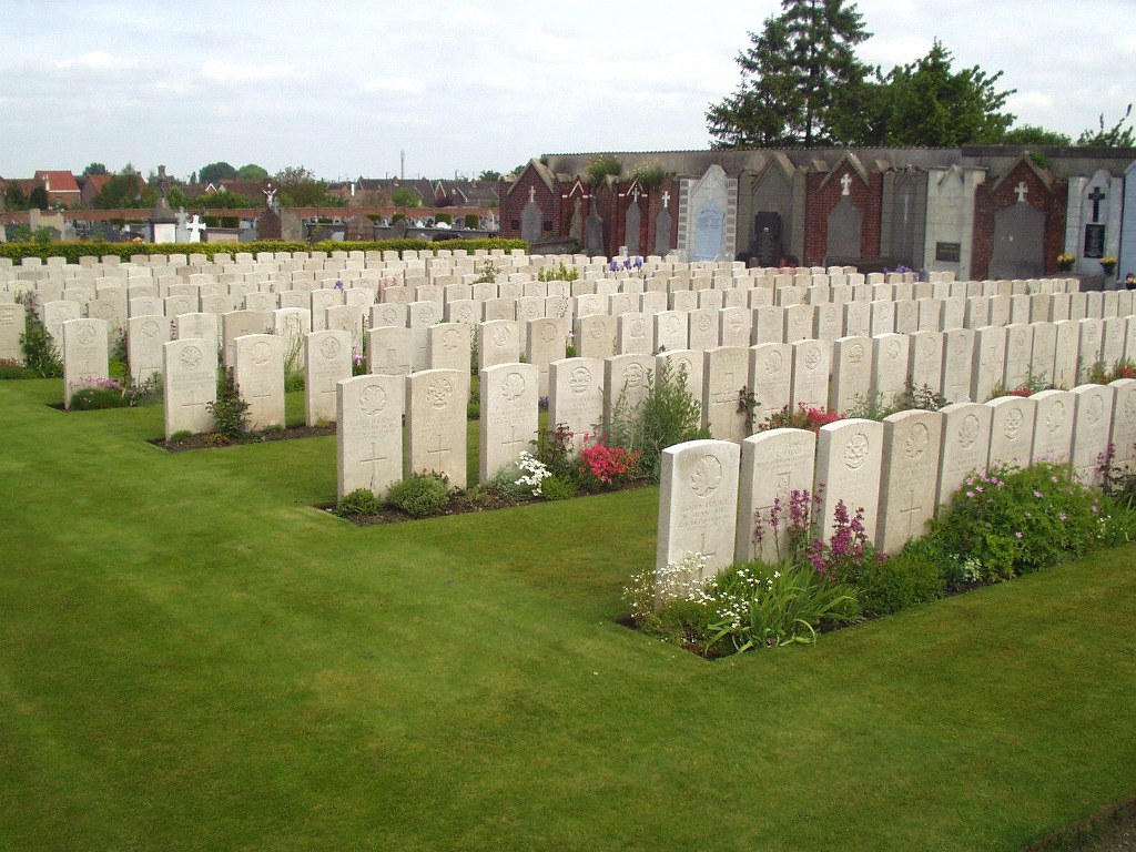
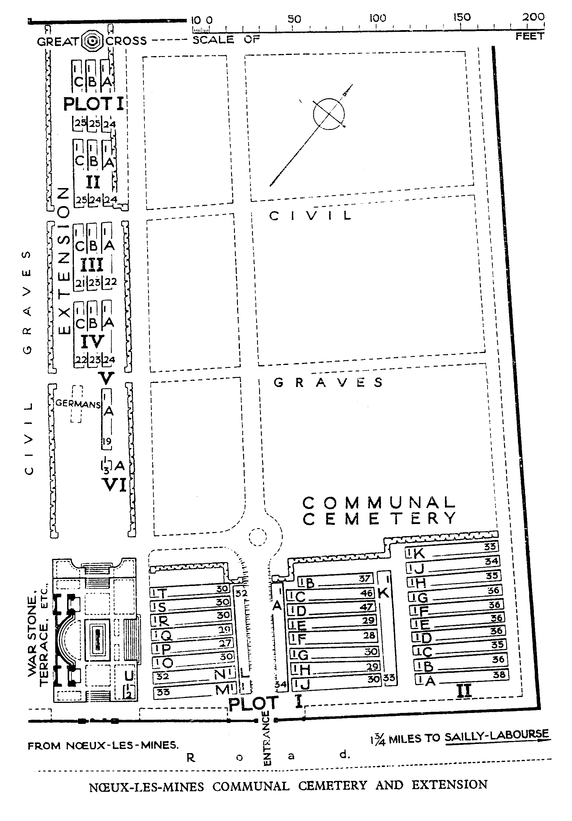
The COMMUNAL CEMETERY at Noeux-les-Mines was used by the Commonwealth forces (in succession to the French) from June 1915 to August 1917. The earlier burials were carried out by units and field ambulances but in April 1917, the 7th Casualty Clearing Station began to use the cemetery. It contains 980 Commonwealth burials of the First World War. The EXTENSION was begun in August 1917 and used until December 1918, chiefly by the 6th and 7th Casualty Clearing Stations. It contains 304 Commonwealth burials of the First World War and 12 German war graves. The Commonwealth plot and extension were designed by Sir Edwin Lutyens.