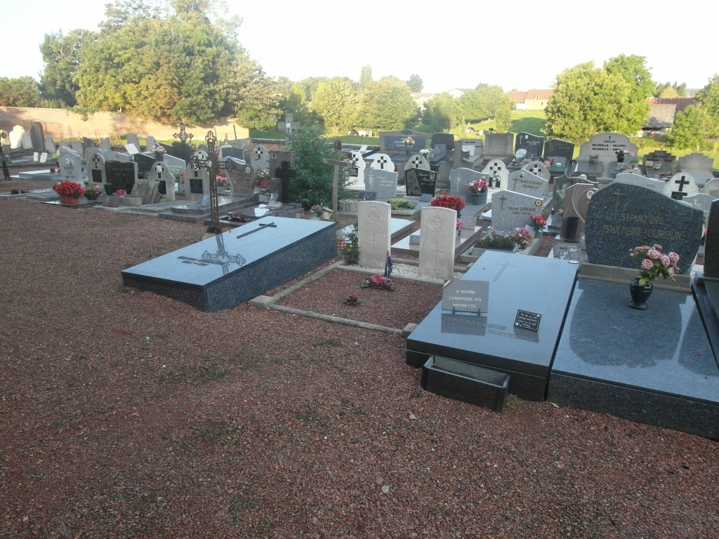
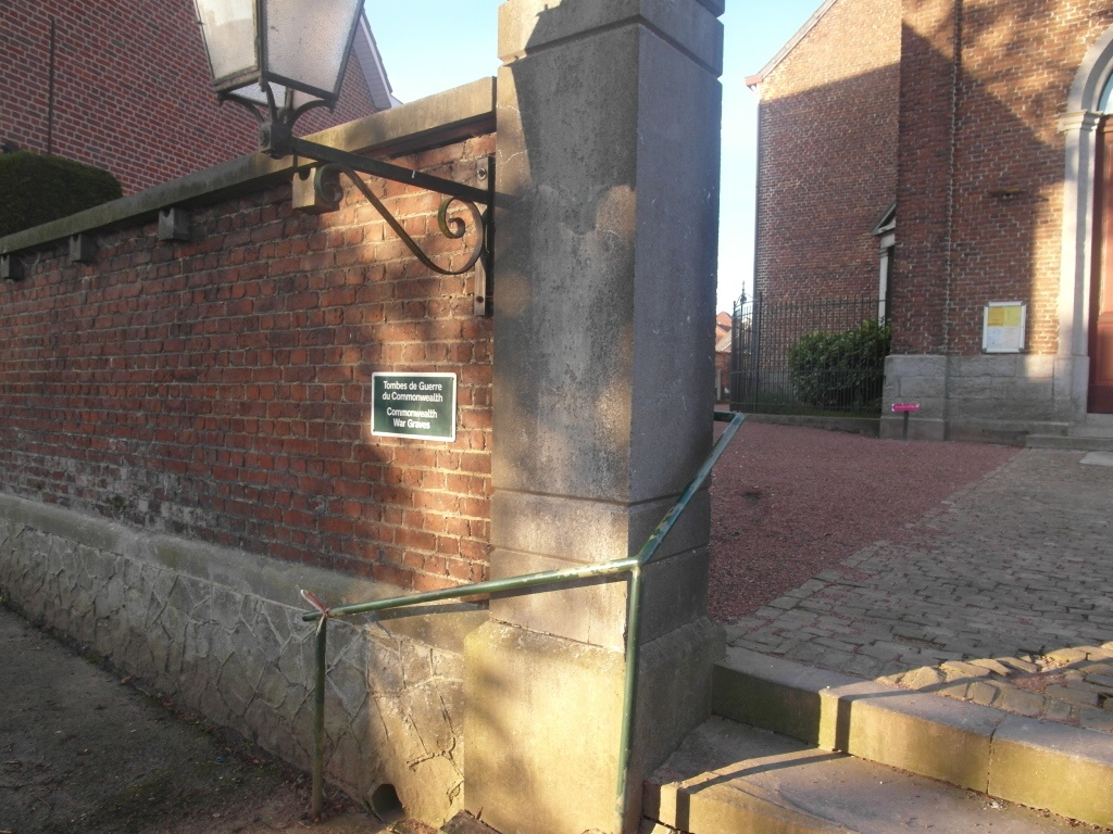
Anvaing Churchyard
- Country Belgium
- Total identified casualties 2 Find these casualties
- Region Hainaut
- Identified casualties from First World War
- GPS Coordinates Latitude: 50.68289, Longitude: 3.56128
Location information
The village of Anvaing is located north-east of the town of Tournai on the N529. From the motorway E42, which runs between Mons and Lille, turn off onto the A8 at junction 33 and follow to junction 31. At the junction turn off on to the N60 and at the first roundabout take the forth exit signposted Gand / Renaix. Head back over the A8 and at the next roundabout continue in the direction of Gand / Renaix. Follow this road (the N60 - Chaussee de Renaix) north for about 1km - take the first left turn (take care as this is a dual carriageway, but there is a left filter lane just before the turning). Anvaing is signposted as being 2kms from this point - follow the 'Dreve du Chateau' road (you will pass Anvaing Chateau (Chateau de Lannoy) where the Belgian Army signed its surrender on the 28th May 1940) into the village. The church is in the centre. The graves are located to the right of the church.
History information
Anvaing Churchyard contains the graves of two Commonwealth airmen of the First World War.