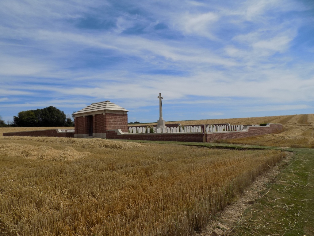
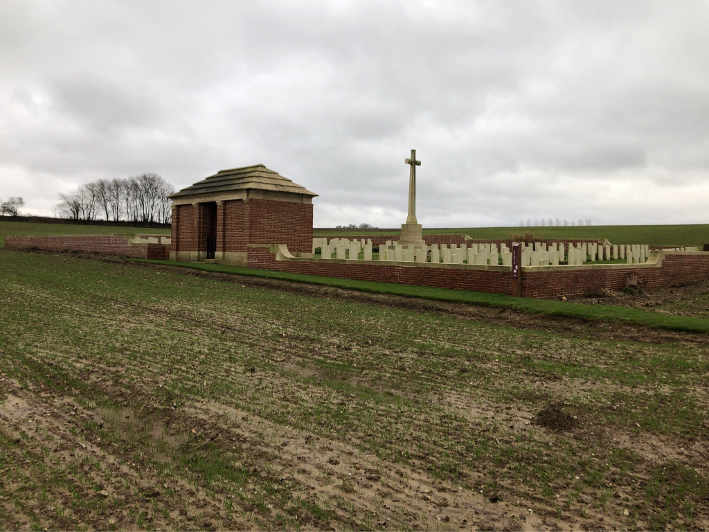
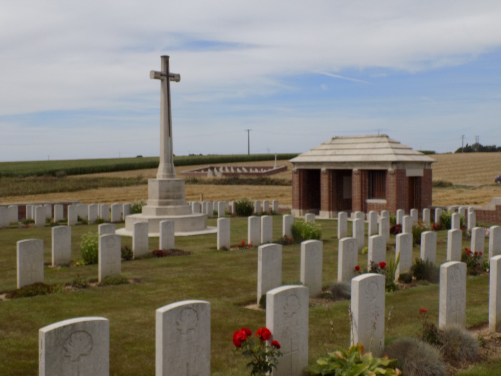
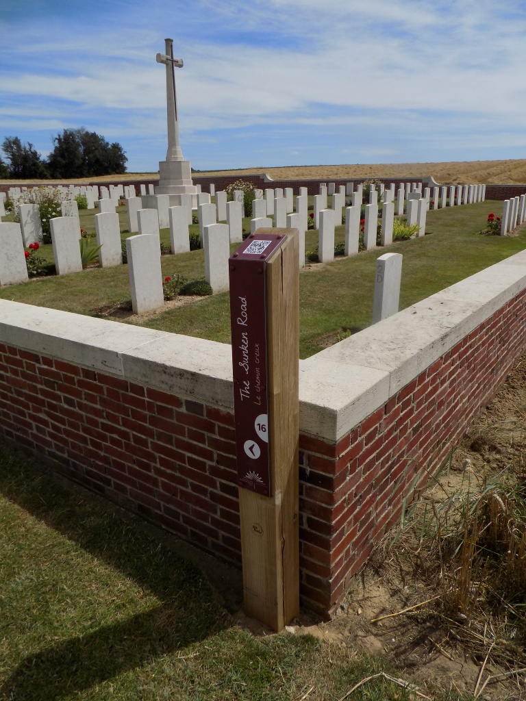
Sunken Road Cemetery, Contalmaison
- Country France
- Total identified casualties 213 Find these casualties
- Region Somme
- Identified casualties from First World War
- GPS Coordinates Latitude: 50.03215, Longitude: 2.73155
Location information
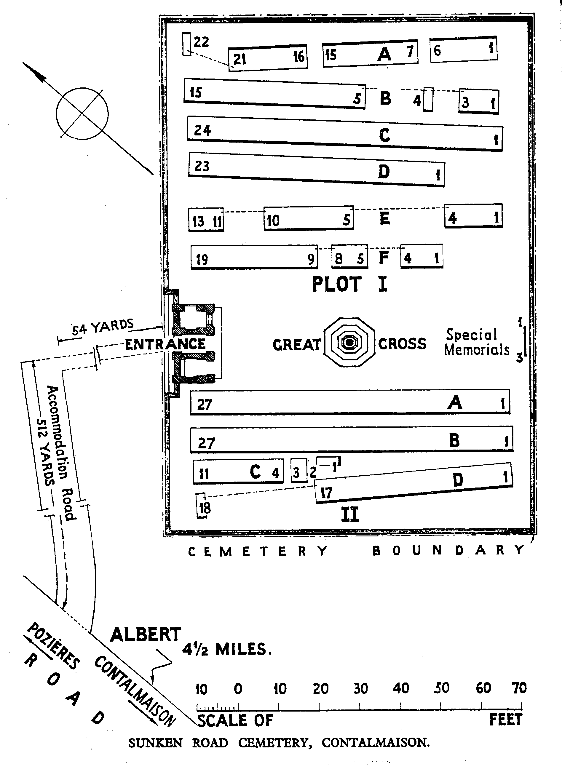
Contalmaison is a village in the Department of the Somme, 6 kilometres east-north-east of Albert. The Sunken Road, from which the cemetery is named, is part of the Contalmaison-Pozieres road, and the cemetery lies a little east of the road.
Visiting information
The rough track which leads from the main road to the cemetery can be inaccessible under bad weather conditions. WHEELCHAIR ACCESS is possible with some difficulty. For further information regarding wheelchair access, please contact our Enquiries Section on 01628 507200.
History information
The Sunken Road Cemetery was made in July-October 1916, during the middle fighting in the Somme offensive. There are now over 200, 1914-18 war casualties commemorated in this site. Of these, a small number are unidentified and three Australian graves, which cannot be located, are represented by special memorials. The graves of two German soldiers, buried by the enemy at the end of March 1918, have been removed. The cemetery covers an area of 1,106 square metres, without the access road and is enclosed by a low red brick wall.