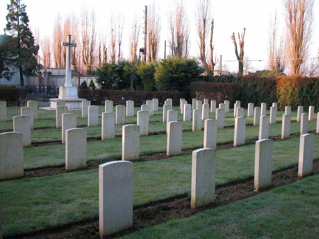
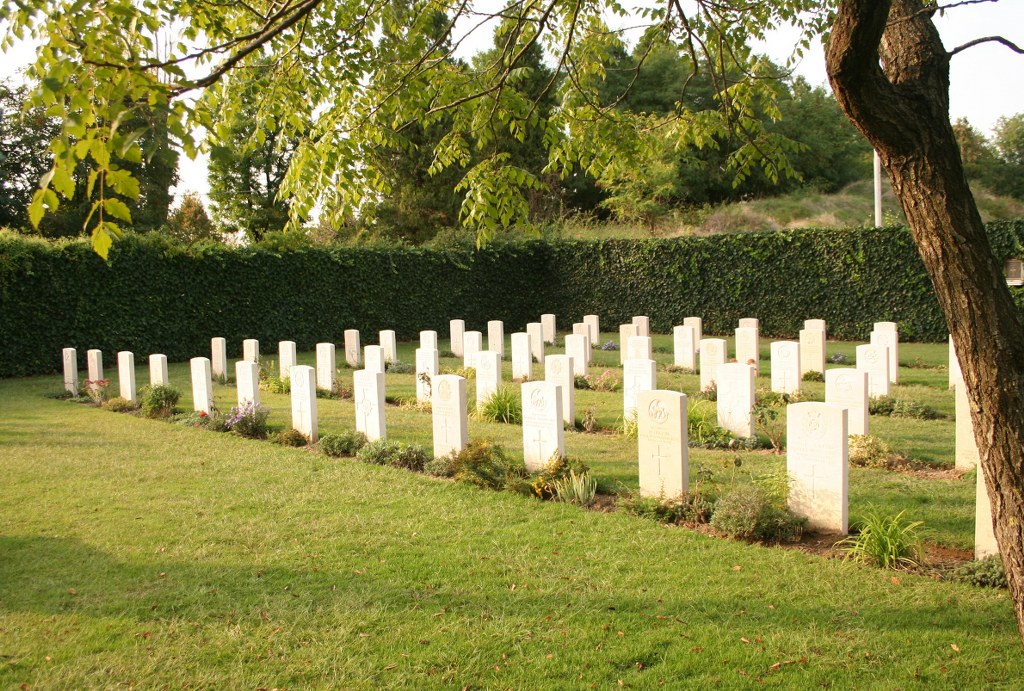
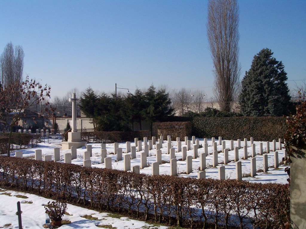
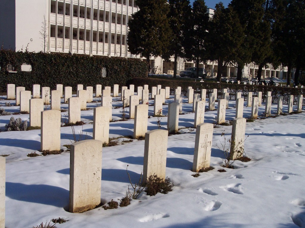
Cremona Town Cemetery
- Country Italy
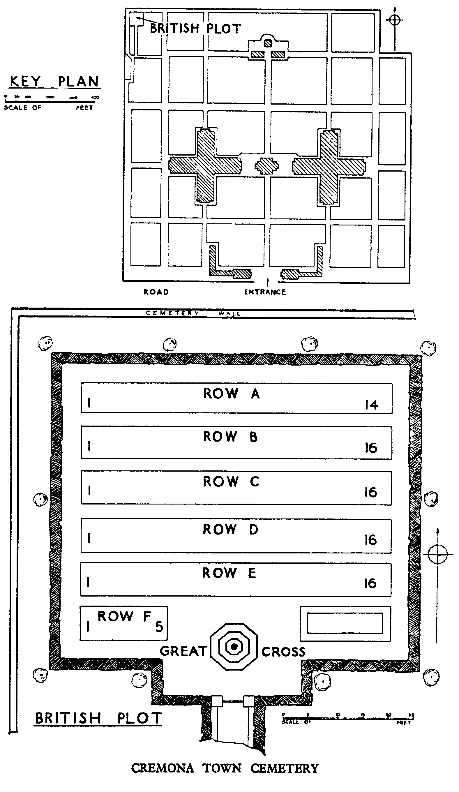
- Total identified casualties 85 Find these casualties
- Identified casualties from First World War
- GPS Coordinates Latitude: 45.14406, Longitude: 10.02321
Location information
Exit from the autostrada A 21 at Cremona. Follow the signs into Cremona and then proceed in the direction of Centro or Stazione. Drive past the main railway station, keeping it to your right, and then turn right passing under the railway lines. Follow the cemetery signs to the right and proceed down a tree lined road for approximately 1 kilometre. Park outside the Italian Communal Cemetery. Proceed on foot to the CWGC plot in the back left hand corner of the Communal Cemetery. Cemetery Address: Via Cimitero, 1 - 26100 Cremona. GPS Co-ordinates: 45.144245, 10.023314.
Visiting information
Wheelchair access to the site is possible via an alternative entrance. For further information and enquiries please contact enquiries@cwgc.org
History information
The Italians entered the war on the Allied side, declaring war on Austria, in May 1915. Commonwealth forces were at the Italian front between November 1917 and November 1918, and rest camps and medical units were established at various locations in northern Italy behind the front, some of them remaining until 1919. From the Summer of 1917 until late 1918, the Mediterranean lines of communication for the British Salonika Force ran the length of Italy from Taranto in the south-east, to Turin in the north-west. Cremona Town Cemetery contains a plot of 83 Commonwealth burials of the First World War, most of whom died in No 29 Stationary Hospital.